Alert
Alerts


Description
Map
Ratings and reviews
See around
Le massif du Sancy
Description
Derrière l’église, à la place de l’ancien cimetière, une aire de pique-nique offre une vue spectaculaire sur le Massif du Sancy. Plus haut volcan de France métropolitaine du haut de ses 1885 mètres d’altitude, ce sommet est le point culminant du Massif Central. Les deux ruisseaux, la Dore et la Dogne, y prennent naissance et leur confluence forme la Dordogne.
Technical Information
Lat, Lng
45.42032.3863
Coordinates copied
Point of Interest updated on 08/02/2024
Altimetric profile
IGN cards
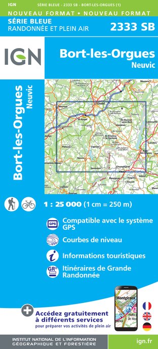
2333SB - BORT-LES-ORGUES NEUVIC
Editor : IGN
Collection : TOP 25 ET SÉRIE BLEUE
Scale : 1:25 000
13.90€

148 CLERMONT FERRAND SALERS PNR DES VOLCANS D'AUVERGNE
Editor : IGN
Collection : TOP 100
Scale : 1:100 000
8.40€

D23-87 CREUSE HAUTE-VIENNE
Editor : IGN
Collection : CARTES DÉPARTEMENTALES IGN
Scale : 1:150 000
5.90€

D15-19 CANTAL CORREZE
Editor : IGN
Collection : CARTES DÉPARTEMENTALES IGN
Scale : 1:150 000
5.90€

D03-63 ALLIER PUY-DE-DÔME
Editor : IGN
Collection : CARTES DÉPARTEMENTALES IGN
Scale : 1:150 000
5.90€

EUROPE
Editor : IGN
Collection : DÉCOUVERTE DES PAYS DU MONDE IGN
Scale : 1:2 500 000
7.00€
Data author

Ratings and reviews
To see around