Alert
Alerts
Description
Map
Ratings and reviews
See around
Start
Description
From Oloron Sainte-Marie, take the direction towards Saragosse at the roundabout, then continue towards Esquiule (RD24). Upon reaching the village, cross the main street, turn left at the end, and at the stop sign, turn left again. Drive a few meters to park near the trailhead sign. From the trailhead sign, cross the D24 road and take the path descending to the right. Cross the stream and continue uphill. After 800 m, turn right and continue climbing after a barrier.
Technical Information
Lat, Lng
43.1936248-0.7087655
Coordinates copied
Point of Interest updated on 05/07/2024
Altimetric profile
IGN cards
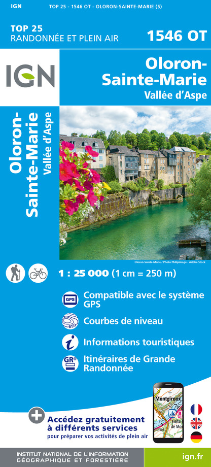
1546OT - OLORON-SAINTE-MARIE
Editor : IGN
Collection : TOP 25 ET SÉRIE BLEUE
Scale : 1:25 000
13.90€
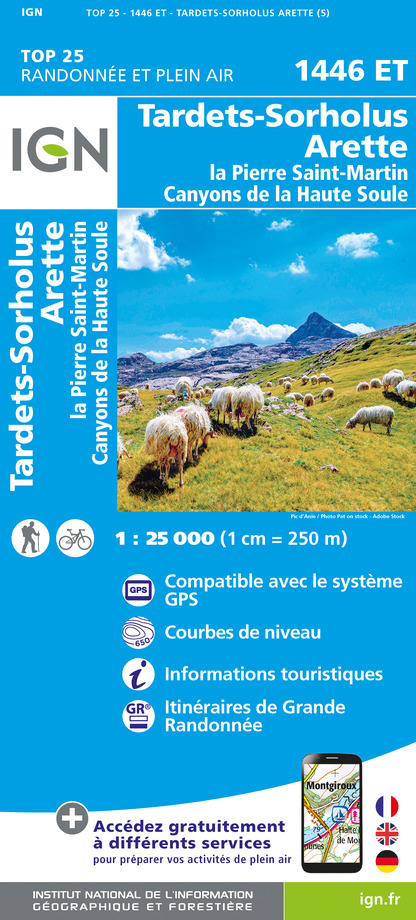
1446ET - TARDETS-SORHOLUS-ARETTE LA PIERRE ST-MARTIN CANYONS DE LA HAUTE SOULE
Editor : IGN
Collection : TOP 25 ET SÉRIE BLEUE
Scale : 1:25 000
13.90€

1545SB - OLORON-SAINTE-MARIE MOURENX
Editor : IGN
Collection : TOP 25 ET SÉRIE BLEUE
Scale : 1:25 000
13.90€
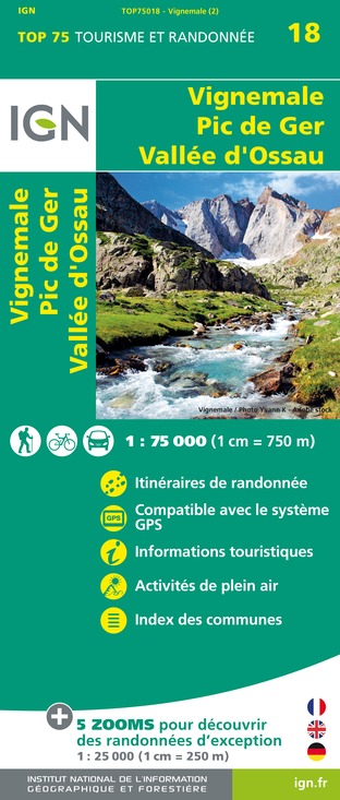
TOP75018 - VIGNEMALE PIC DE GER VALLEE D'OSSAU
Editor : IGN
Collection : TOP 75
Scale : 1:75 000
9.80€

166 DAX BAYONNE PAYS BASQUE
Editor : IGN
Collection : TOP 100
Scale : 1:100 000
8.40€

TOP100D64 - PYRÉNÉES-ATLANTIQUES PAU BAYONNE BIARRITZ PAYS BASQUE BÉARN
Editor : IGN
Collection : TOP 100
Scale : 1:100 000
8.40€

89021 - ST-JACQUES-DE-COMPOSTELLE GR®65-2 DE MOISSAC A RONCEVAUX
Editor : IGN
Collection : DECOUVERTE DES CHEMINS
Scale : 1:100 000
9.10€

D64 PYRÉNÉES-ATLANTIQUES
Editor : IGN
Collection : CARTES DÉPARTEMENTALES IGN
Scale : 1:150 000
5.90€

NR10 NOUVELLE-AQUITAINE RECTO /VERSO LIMOUSIN POITOU
Editor : IGN
Collection : CARTES RÉGIONALES IGN
Scale : 1:250 000
6.80€

NR11 NOUVELLE-AQUITAINE RECTO/VERSO BASSIN AQUITAIN
Editor : IGN
Collection : CARTES RÉGIONALES IGN
Scale : 1:250 000
6.80€

EUROPE
Editor : IGN
Collection : DÉCOUVERTE DES PAYS DU MONDE IGN
Scale : 1:2 500 000
7.00€
Data author

proposed by
Communauté de Communes du Haut-Béarn
12 place Jaca 64400 Oloron-Sainte-Marie Cedex France
Ratings and reviews
To see around