Alert
Alerts


Description
Map
Ratings and reviews
See around
Étape 4
Description
Après une dépression en sable blanc fin prendre à droite au pied d’un grand hêtre où vous trouverez une borne explicative de l’ONF. Continuer en sous-bois et rejoindre un chemin creux qui part vers la gauche puis tourner vers la droite. Dirigez-vous vers le pylône rouge et blanc qui porte
les antennes. Prendre la route vers la gauche puis vous trouverez à droite une marque jaune. Prendre ce chemin peu visible, contourner l’arbre tombé, puis partir à droite sur le GR® marqué
blanc et rouge. De retour au poteau du Mont Pagnotte prendre le 2e chemin à gauche « route
du Mont Pagnotte, vers poteau des Dames ».
Technical Information
Lat, Lng
49.280712.63773
Coordinates copied
Altitude
206 m
Uncertain state
Point of Interest updated on 20/09/2016
This point of interest hasn't been updated recently, which could compromise the reliability of this information. We recommend that you inquire and take all necessary precautions. If you're the author, please verify your information.
Altimetric profile
IGN cards
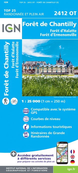
2412OT - FORÊT DE CHANTILLY FORÊT D'HALATTE FORÊT D'ERMENONVILLE
Editor : IGN
Collection : TOP 25 ET SÉRIE BLEUE
Scale : 1:25 000
13.90€
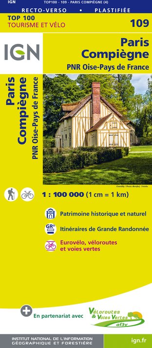
109 PARIS COMPIÈGNE PNR OISE-PAYS DE FRANCE
Editor : IGN
Collection : TOP 100
Scale : 1:100 000
8.40€
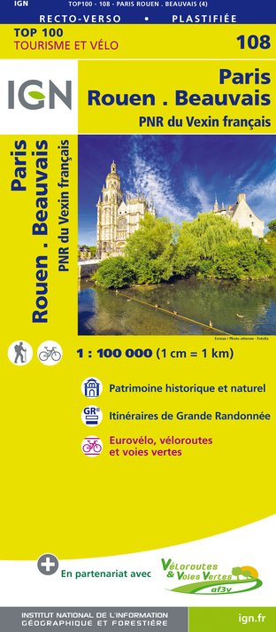
108 PARIS ROUEN BEAUVAIS PNR DU VEXIN FRANÇAIS
Editor : IGN
Collection : TOP 100
Scale : 1:100 000
8.40€
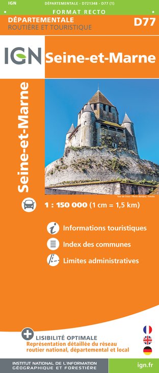
D77 SEINE-ET-MARNE
Editor : IGN
Collection : CARTES DÉPARTEMENTALES IGN
Scale : 1:150 000
5.90€
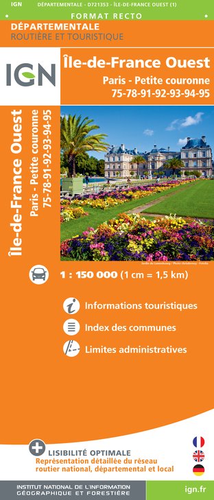
D75-95 ÎLE-DE-FRANCE OUEST
Editor : IGN
Collection : CARTES DÉPARTEMENTALES IGN
Scale : 1:150 000
5.90€

D60-80 OISE SOMME
Editor : IGN
Collection : CARTES DÉPARTEMENTALES IGN
Scale : 1:150 000
5.90€

NR01 HAUTS-DE-FRANCE
Editor : IGN
Collection : CARTES RÉGIONALES IGN
Scale : 1:250 000
6.80€

NR04 - GRAND EST RECTO/VERSO ARDENNE CHAMPAGNE
Editor : IGN
Collection : CARTES RÉGIONALES IGN
Scale : 1:250 000
6.80€

NR05 GRAND EST RECTO/VERSO MASSIF DES VOSGES ALSACE LORRAINE
Editor : IGN
Collection : CARTES RÉGIONALES IGN
Scale : 1:250 000
6.80€

NR03 ÍLE DE FRANCE
Editor : IGN
Collection : CARTES RÉGIONALES IGN
Scale : 1:250 000
6.80€

801 FRANCE NORD OUEST
Editor : IGN
Collection : CARTES NATIONALES IGN
Scale : 1:320 000
6.10€

PAYS-BAS BELGIQUE LUXEMBOURG
Editor : IGN
Collection : DÉCOUVERTE DES PAYS DU MONDE IGN
Scale : 1:300 000
7.00€

EUROPE
Editor : IGN
Collection : DÉCOUVERTE DES PAYS DU MONDE IGN
Scale : 1:2 500 000
7.00€
Data author

proposed by
Parcs naturels régionaux d'Ile de France
48 Rue d'Hérivaux 60560 ORRY LA VILLE France
Ratings and reviews
To see around