Alert
Alerts


Achard lake


Description
The Achard lake, a touch of the Canadian Rocky Mountains.
Beautiful mountain lake at 1,917 meters of altitude easily visible from the Infernet Pass and the Croix de Chamrousse in summer and covered with snow in winter.
It can be explored on foot or on snowshoes in winter. It comprises a main lake in the form of a series of small lakes that are in the process of being filled in (the exact name is Achard Lakes). In fine weather, you'll have an exceptional view of the Taillefer massif.
Lac Achard is part of the Espace Naturel Sensible (ENS) "Plateau de l'Arselle et lac Achard". It is also located in a Natura 2000 zone.
Fire, wood-gathering, camping, picking, fishing and swimming (even for dogs) are strictly forbidden (subject to fines). Dogs must be kept on a leash. Bivouacs are permitted from sunset to sunrise (except from May 1 to October 30 + Infernet area).
ATTENTION: NEW BY-LAW SUMMER
Please stay on the trails to preserve these fragile environments.
Technical Information
Altimetric profile
Additional information
Updated by
Office du Tourisme de Chamrousse - 04/04/2025
www.chamrousse.com
Report a problem
Price(s)
Free access.
Open period
All year round.
Contact
Phone : 04 76 89 92 65
Email : info@chamrousse.com
Website : www.chamrousse.com
Location complements
From Grenoble: car or bus + hike Resort road access: Rocade Sud > exit no. 2 "Uriage" > Route départementale 111 (RD 111) on the Luitel side. Recommended parking: main parking lot (P3), 390 avenue du Père Tasse (approx. 100 meters and 2 minutes' walk - pay attention in winter). Public transport - Chamrousse 1750 - Roche Béranger stop: - regular bus service all year round: N93 (to/from Grenoble), "Chamrousse 1750" stop [merging of former bus routes T87, Transaltitude and Destination neige Skibus / nature Estibus 707]. - bus line / shuttle on reservation weekdays excluding public holidays: Flexo 57 to/from Uriage [former TAD TouGo transport on demand - line G701]. - resort shuttle in winter and summer: "Centre Commercial (1750)" stop (to/from Chamrousse 1650 - Recoin and Chamrousse 1600 - plateau de l'Arselle/nordic area)
Visitor alert
Lac Achard is part of the Espace Naturel Sensible (ENS) "Plateau de l'Arselle et lac Achard". It is also located in the Natura 2000 zone. Bivouacs are forbidden from the beginning of May to the end of October, during the peak summer season. Fire, wood-gathering, camping, gathering, fishing and swimming (even for dogs) are strictly forbidden (subject to fines). Dogs must be kept on a leash. Please stay on the trails to preserve these fragile environments. Visitor numbers: the site is very busy in summer. We invite you to discover our nearby suggestions for making the most of our region.
Reception complements
Lac Achard: Espace Naturel Sensible (ENS) Arselle-Achard site ❌ Prohibited: fire, camping, fishing and swimming, tree picking and cutting. ✔️ Authorized: bivouac from sunset to sunrise (except from May 1 to October 30 in periods of summer overcrowding), dogs on leash.
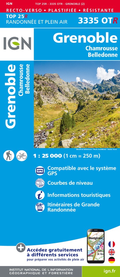
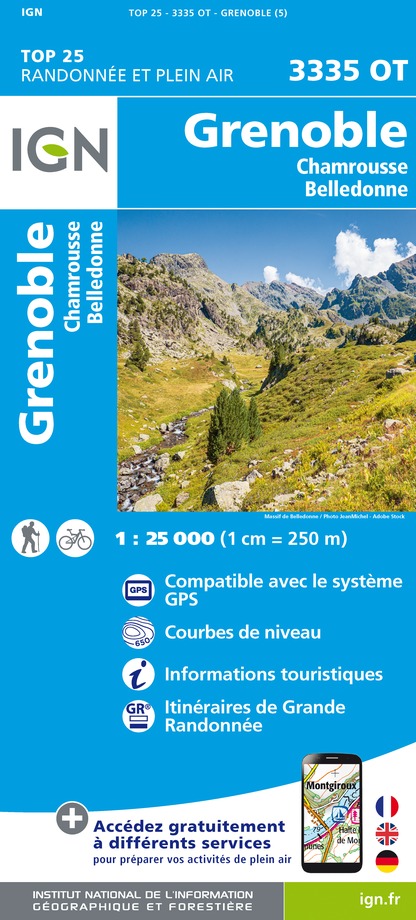
IGN cards