Alert
Alerts
Description
Map
Ratings and reviews
See around
Rayol-Canadel-sur-Mer

Credit
: © Office de Tourisme du Rayol-Canadel
Description
The Voie Verte runs along the coast, offering stunning views of the sea and the Massif des Maures, and links the three hamlets in the commune: Le Rayol, Le Canadel and Pramousquier.
This former railway line, built by the Compagnie des chemins de fer du sud, linked Toulon to Saint-Raphaël via the coast. Its gentle curves and lack of gradients make it an ideal safe route for families on foot or by bike.
Technical Information
Lat, Lng
43.15911246.4703035
Coordinates copied
Altitude
88 m
Point of Interest updated on 18/07/2024
Altimetric profile
IGN cards

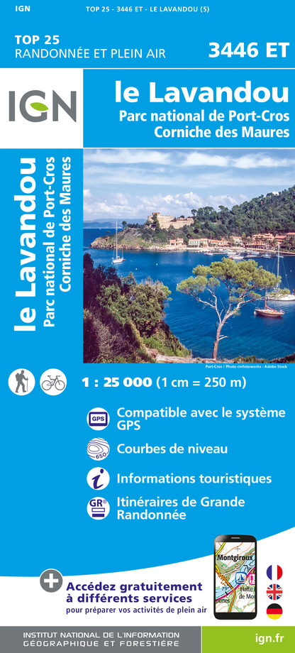
3446ET - LE LAVANDOU PARC NATIONAL DE PORT-CROS - CORNICHE DES MAURES
Editor : IGN
Collection : TOP 25 ET SÉRIE BLEUE
Scale : 1:25 000
13.90€

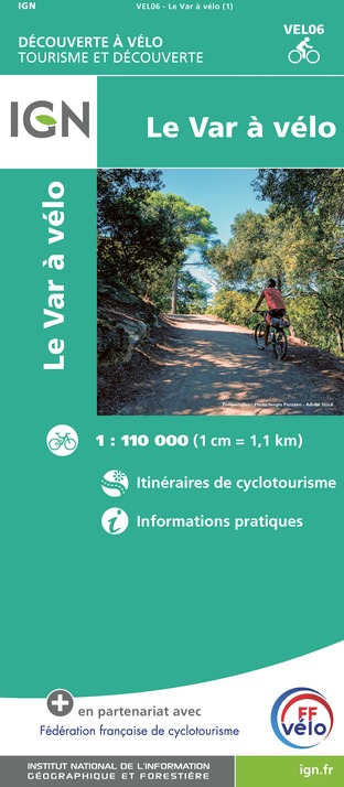
VEL06 - LE VAR A VELO
Editor : IGN
Collection : DECOUVERTE A VELO
Scale : 1:110 000
9.10€

TOP100D83 - VAR TOULON FRÉJUS MASSIFS DES MAURES ET DE L'ESTEREL PARC NATUREL RÉGIONAL DU VERDON
Editor : IGN
Collection : TOP 100
Scale : 1:100 000
8.40€

D83 VAR
Editor : IGN
Collection : CARTES DÉPARTEMENTALES IGN
Scale : 1:150 000
5.90€

D06 ALPES-MARITIMES
Editor : IGN
Collection : CARTES DÉPARTEMENTALES IGN
Scale : 1:150 000
5.90€

NR16 PROVENCE-ALPES-CÔTE D'AZUR
Editor : IGN
Collection : CARTES RÉGIONALES IGN
Scale : 1:250 000
6.80€

EUROPE
Editor : IGN
Collection : DÉCOUVERTE DES PAYS DU MONDE IGN
Scale : 1:2 500 000
7.00€
Data author

proposed by
LA CROIX VALMER TOURISME
287 rue Louis Martin 83420 La Croix Valmer France
Ratings and reviews
To see around