Alert

Alerts

To see around
See more
Open
Close
Show
Show
Show
Show
Show
Show
Show
Show
Show
Show
Show

Oups... It would appear that Cirkwi does not have permission to use your location.

Description
Map
Ratings and reviews
See around

DAY 1: Annecy - Doussard to Bellecombe en Bauges

Description

This first stage begins quietly on the lake! From the port of Doussard, the easy ascent from the Col de la Frasse leads to the Mont-Devant gîte détape in the commune of Bellecombe-en-Bauges. You're already in the heart of the Bauges!

Technical Information

Lat, Lng
45.793096.218607
Coordinates copied
Point of Interest updated on 11/12/2024

Altimetric profile

Date and time

  • From 01/05/2025 to 31/05/2025

Additional information

Updated by

Agence alpine des territoires - 10/12/2024
www.agate-territoires.fr
Report a problem

Open period

From 01/05 to 31/05. Subject to favorable snow and weather conditions.

Contact

Phone :
04 79 54 86 40
04 79 33 42 47

Email :
info@parcdesbauges.com
accueil.chambery@chamberymontagnes.com

Website :
www.parcdesbauges.com
www.chamberymontagnes.com

Guidebook with maps/step-by-step

1/ 1- From the landing stage, head for the entrance to the Douss'plage leisure park. Cross the D1508 and the tennis courts, then take the voie verte to the La Thuile_Les Marais crossroads. Follow the Bornette stream to the La Thuile church, then the route de Saury to the Pontgibaud farm (530 m). - 2- At the crossroads, follow the track to the right and take the old coal-mine track, which climbs the mountainside in six hairpin bends, reaching the houses of Les Bochettes and then the road from Entrevernes (1078 m). - 3- Take the left-hand road up to its end after passing the Pleyu chalets. Take the path that continues south to the Col de la Frasse (1380 m). - 4- From the Col de la Frasse, follow the path on the west-facing slope, cross a wetland and reach a chalet. Descend to the chalet de Precheret, then take a wider path to Mont-Derrière (1030 m). Follow the downhill road to the fork. Turn left towards Mont Devant (1023 m). Continue straight ahead to the Roc des Bœufs gîte.

IGN cards

3431OTR - LAC D'ANNECY RESISTANTE
Editor : IGN
Collection : TOP 25 RÉSISTANTE
Scale : 1:25 000
17.20€
3431OT - LAC D'ANNECY
Editor : IGN
Collection : TOP 25 ET SÉRIE BLEUE
Scale : 1:25 000
13.90€
TOP75032 - CHAINE DES ARAVIS - MASSIF DES BAUGES
Editor : IGN
Collection : TOP 75
Scale : 1:75 000
9.80€
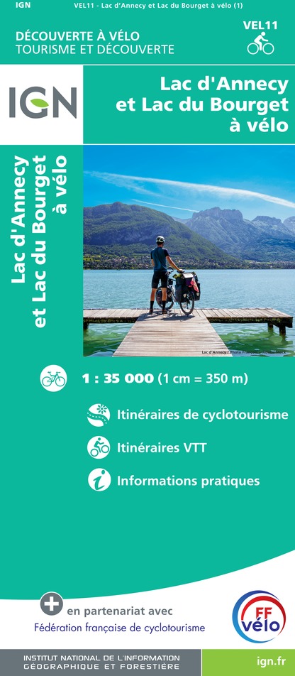
VEL11 - LAC D'ANNECY ET LAC DU BOURGET A VELO
Editor : IGN
Collection : DECOUVERTE A VELO
Scale : 1:35 000
9.10€
TOP100D73 - SAVOIE CHAMBÉRY ALBERTVILLE PARC NATIONAL DE LA VANOISE PNR DU MASSIF DES BAUGES
Editor : IGN
Collection : TOP 100
Scale : 1:100 000
8.40€
TOP100D74 - HAUTE-SAVOIE ANNECY THONON-LES-BAINS MASSIF DU MONT BLANC CHAÎNE DES ARAVIS
Editor : IGN
Collection : TOP 100
Scale : 1:100 000
8.40€
202 JURA ALPES DU NORD
Editor : IGN
Collection : TOP 200
Scale : 1:200 000
6.80€
89026 - GRANDES TRAVERSÉES DU JURA - GTJ
Editor : IGN
Collection : DECOUVERTE DES CHEMINS
Scale : 1:105 000
9.10€
D38 ISÈRE
Editor : IGN
Collection : CARTES DÉPARTEMENTALES IGN
Scale : 1:150 000
5.90€
D01-69 AIN RHÔNE
Editor : IGN
Collection : CARTES DÉPARTEMENTALES IGN
Scale : 1:150 000
5.90€
NR14 AUVERGNE-RHÔNE-ALPES RECTO/VERSO MASSIF CENTRAL
Editor : IGN
Collection : CARTES RÉGIONALES IGN
Scale : 1:250 000
6.80€
NR15 AUVERGNE-RHÔNE-ALPES RECTO/VERSO MASSIF ALPIN
Editor : IGN
Collection : CARTES RÉGIONALES IGN
Scale : 1:250 000
6.80€
EUROPE
Editor : IGN
Collection : DÉCOUVERTE DES PAYS DU MONDE IGN
Scale : 1:2 500 000
7.00€
SUISSE
Editor : IGN
Collection : DÉCOUVERTE DES PAYS DU MONDE IGN
Scale : 1:303 000
7.00€

Data author

Ratings and reviews

To see around
See more
Open
Close
Show
Show
Show
Show
Show
Show
Show
Show
Show
Show
Show
Caution!
We have no information on the difficulty of this circuit. You may encounter some surprises along the way. Before you go, please feel free to inquire more and take all necessary precautions. Have a good trip! 🌳🥾