Alert
Alerts
Description
Map
Ratings and reviews
See around
Port de CAstet - Col du Rey

Credit
: CCVO - Francine Magrou
Description
Départ : Port de Castet. Redescendre sur la route d’où l’on vient. 0h10 Au niveau de l’abreuvoir, quitter la route et prendre à droite. Suivre la piste. 0h15 Au portail, prendre à gauche. Le chemin devient plus étroit dans un sous-bois de noisetiers. 0h35 En sortant de la forêt, le chemin devient sentier. Il monte vers la gauche dans les fougères, puis pratiquement tout droit dans la pente.1h On entre dans la forêt par une zone raide rocheuse. Le sentier plus étroit part vers la droite et traverse une pente herbeuse très raide. On aperçoit le col au-dessus.
Technical Information
Lat, Lng
43.066838-0.385089
Coordinates copied
Point of Interest updated on 11/11/2024
Altimetric profile
IGN cards

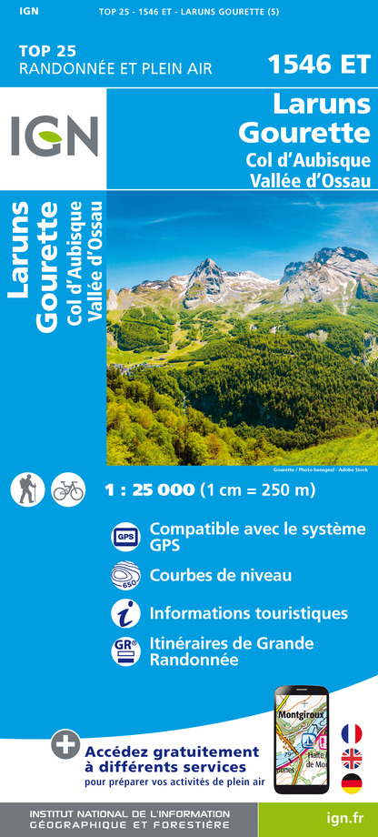
1546ET - LARUNS GOURETTE COL D'AUBISQUE - VALLEE D'OSSAU
Editor : IGN
Collection : TOP 25 ET SÉRIE BLEUE
Scale : 1:25 000
13.90€

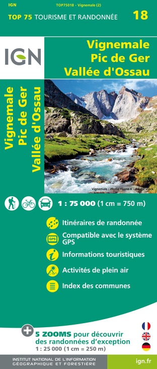
TOP75018 - VIGNEMALE PIC DE GER VALLEE D'OSSAU
Editor : IGN
Collection : TOP 75
Scale : 1:75 000
9.80€

TOP100D64 - PYRÉNÉES-ATLANTIQUES PAU BAYONNE BIARRITZ PAYS BASQUE BÉARN
Editor : IGN
Collection : TOP 100
Scale : 1:100 000
8.40€

TOP100D65 - HAUTES-PYRÉNÉES TARBES LOURDES GAVARNIE NÉOUVIELLE PARC NATIONAL DES PYRÉNÉES
Editor : IGN
Collection : TOP 100
Scale : 1:100 000
8.40€

D64 PYRÉNÉES-ATLANTIQUES
Editor : IGN
Collection : CARTES DÉPARTEMENTALES IGN
Scale : 1:150 000
5.90€

NR10 NOUVELLE-AQUITAINE RECTO /VERSO LIMOUSIN POITOU
Editor : IGN
Collection : CARTES RÉGIONALES IGN
Scale : 1:250 000
6.80€

NR11 NOUVELLE-AQUITAINE RECTO/VERSO BASSIN AQUITAIN
Editor : IGN
Collection : CARTES RÉGIONALES IGN
Scale : 1:250 000
6.80€

EUROPE
Editor : IGN
Collection : DÉCOUVERTE DES PAYS DU MONDE IGN
Scale : 1:2 500 000
7.00€
Data author
Ratings and reviews
To see around
