Alert
Alerts
Description
Map
Ratings and reviews
See around
The Sable Blanc plain

Credit
: Nicolas Pons
Description
In the 18th century, the confluence of the Vignacq and Courlis rivers fed the pond of Saint-Julien et de Lit. A century later this pond split in two and gave rise to vast areas of marshland. At the beginning of the 20th century, the ponds and a large part of the associated wetlands were drained to combat an epidemic. The Courant de Contis, which was the outlet of the ponds, is now the channelized outlet of the two watercourses and of a drainage network of which the Plaine du Sable Blanc is a perfect example. This drainage system now allows asparagus to be grown.
Technical Information
Lat, Lng
44.07211360
Coordinates copied
Point of Interest updated on 12/01/2025
Altimetric profile
IGN cards

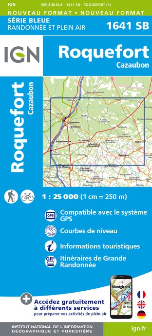
1641SB - ROQUEFORT CAZAUBON
Editor : IGN
Collection : TOP 25 ET SÉRIE BLEUE
Scale : 1:25 000
13.90€

1741SB - MÉZIN MONTRÉAL GABARRET
Editor : IGN
Collection : TOP 25 ET SÉRIE BLEUE
Scale : 1:25 000
13.90€

TOP100D32 - GERS AUCH MIRANDE ARMAGNAC
Editor : IGN
Collection : TOP 100
Scale : 1:100 000
8.40€

160 AGEN MARMANDE PAYS DE L'AGENAIS
Editor : IGN
Collection : TOP 100
Scale : 1:100 000
8.40€

D46-47 LOT LOT-ET-GARONNE
Editor : IGN
Collection : CARTES DÉPARTEMENTALES IGN
Scale : 1:150 000
5.90€

D32-82 GERS TARN-ET-GARONNE
Editor : IGN
Collection : CARTES DÉPARTEMENTALES IGN
Scale : 1:150 000
5.90€

D40 LANDES
Editor : IGN
Collection : CARTES DÉPARTEMENTALES IGN
Scale : 1:150 000
5.90€

NR11 NOUVELLE-AQUITAINE RECTO/VERSO BASSIN AQUITAIN
Editor : IGN
Collection : CARTES RÉGIONALES IGN
Scale : 1:250 000
6.80€

NR10 NOUVELLE-AQUITAINE RECTO /VERSO LIMOUSIN POITOU
Editor : IGN
Collection : CARTES RÉGIONALES IGN
Scale : 1:250 000
6.80€

EUROPE
Editor : IGN
Collection : DÉCOUVERTE DES PAYS DU MONDE IGN
Scale : 1:2 500 000
7.00€
Data author

proposed by
CDT-Landes
40000 France
Ratings and reviews
To see around


