Alert
Alerts


Description
Map
Ratings and reviews
See around
Colline du Montmiandon
Description
Le Montmiandon domine la ville à 679 mètres d’altitude. Depuis ce point, on dispose d’une vue imprenable sur le bassin annonéen, la vallée du Rhône, le Vercors et les Alpes.Découvrez le circuit de la randonnée du Montmiandon (n°22 dans le topoguide de randonnées autour d'Annonay-Serrières en vente à l'Office de Tourisme) :www.cirkwi.com/fr/circuit/49459-le-montmiandon
Technical Information
Lat, Lng
45.2497984.642291
Coordinates copied
Point of Interest updated on 10/12/2024
Altimetric profile
IGN cards
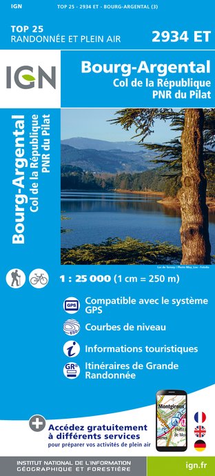
2934ET - BOURG-ARGENTAL COL DE LA RÉPUBLIQUE PNR DU PILAT
Editor : IGN
Collection : TOP 25 ET SÉRIE BLEUE
Scale : 1:25 000
13.90€
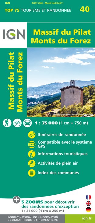
TOP75040 - MASSIF DU PILAT MONTS DU FOREZ
Editor : IGN
Collection : TOP 75
Scale : 1:75 000
9.80€
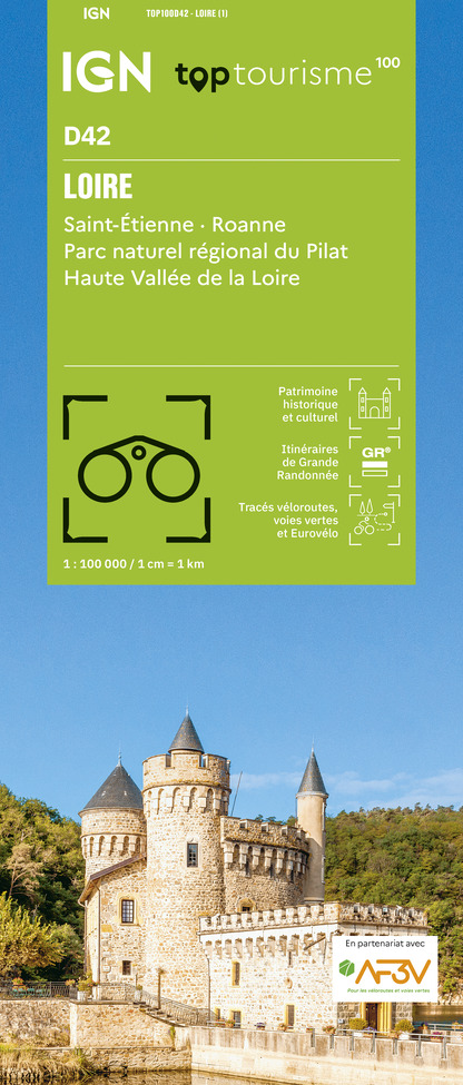
TOP100D42 - LOIRE SAINT-ÉTIENNE ROANNE PARC NATUREL RÉGIONAL DU PILAT HAUTE VALLÉE DE LA LOIRE
Editor : IGN
Collection : TOP 100
Scale : 1:100 000
8.40€
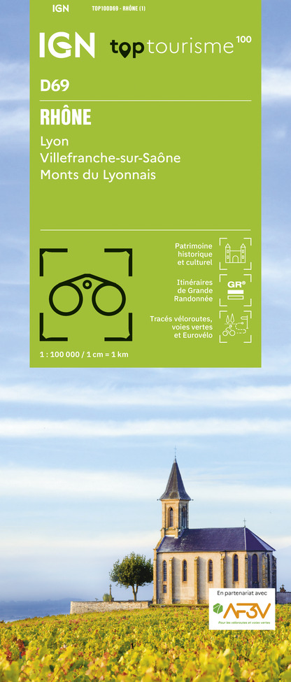
TOP100D69 - RHÔNE LYON VILLEFRANCHE-SUR-SAÔNE MONTS DU LYONNAIS
Editor : IGN
Collection : TOP 100
Scale : 1:100 000
8.40€

TOP100D07 - ARDÈCHE PRIVAS AUBENAS VALLON-PONT-D'ARC PNR DES MONTS D'ARDÈCHE
Editor : IGN
Collection : TOP 100
Scale : 1:100 000
8.40€

TOP100D26 - DRÔME VALENCE MONTÉLIMAR DIE PNR DES BARONNIES PROVENÇALES PNR DU VERCORS
Editor : IGN
Collection : TOP 100
Scale : 1:100 000
8.40€

D42-43 LOIRE HAUTE-LOIRE
Editor : IGN
Collection : CARTES DÉPARTEMENTALES IGN
Scale : 1:150 000
5.90€

D07-26 ARDÈCHE DRÔME
Editor : IGN
Collection : CARTES DÉPARTEMENTALES IGN
Scale : 1:150 000
5.90€

D38 ISÈRE
Editor : IGN
Collection : CARTES DÉPARTEMENTALES IGN
Scale : 1:150 000
5.90€

NR16 PROVENCE-ALPES-CÔTE D'AZUR
Editor : IGN
Collection : CARTES RÉGIONALES IGN
Scale : 1:250 000
6.80€

EUROPE
Editor : IGN
Collection : DÉCOUVERTE DES PAYS DU MONDE IGN
Scale : 1:2 500 000
7.00€
Data author

Ratings and reviews
To see around