Alert
Alerts
Description
Map
Ratings and reviews
See around
THE RETURN TO BELVEDERE - COURCHEVEL MORIOND
Description
On your right, you will see a footpath leading into the forest and then going upwards through steep bends.
At the first crossroads, turn right, then 50 metres further on, turn left along a steep footpath that continues to go up through the forest.
You then arrive at the wide Rosière footpath, which you should follow as far as the Route du Belvédère.
You then come to a bend at the Zénith accommodation centre (the seventh bend you come to on the way up from Courchevel 1650).
You can also go to the centre of Courchevel Moriond, as you did on the way out, by following the Belvédère button lift, by ski bus or on foot along the road.
Technical Information
Lat, Lng
45.40928966.6663086
Coordinates copied
Altitude
1550 m
Uncertain state
Point of Interest updated on 08/09/2016
This point of interest hasn't been updated recently, which could compromise the reliability of this information. We recommend that you inquire and take all necessary precautions. If you're the author, please verify your information.
Altimetric profile
IGN cards

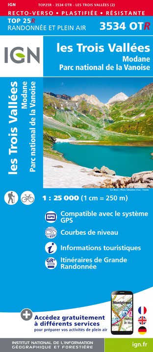
3534OTR - LES TROIS VALLÉES RESISTANTE MODANE PARC NATIONAL DE LA VANOISE
Editor : IGN
Collection : TOP 25 RÉSISTANTE
Scale : 1:25 000
17.20€

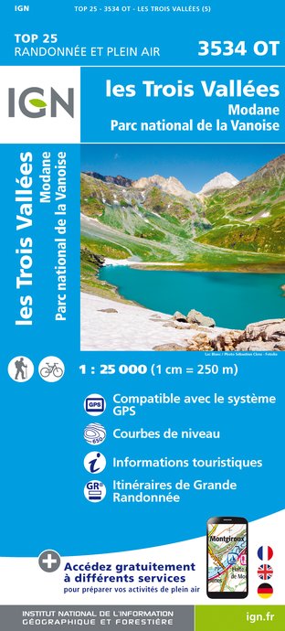
3534OT - LES TROIS VALLÉES MODANE PARC NATIONAL DE LA VANOISE
Editor : IGN
Collection : TOP 25 ET SÉRIE BLEUE
Scale : 1:25 000
13.90€

TOP75003 - MASSIF DE LA VANOISE
Editor : IGN
Collection : TOP 75
Scale : 1:75 000
9.80€

TOP100D73 - SAVOIE CHAMBÉRY ALBERTVILLE PARC NATIONAL DE LA VANOISE PNR DU MASSIF DES BAUGES
Editor : IGN
Collection : TOP 100
Scale : 1:100 000
8.40€

202 JURA ALPES DU NORD
Editor : IGN
Collection : TOP 200
Scale : 1:200 000
6.80€

D38 ISÈRE
Editor : IGN
Collection : CARTES DÉPARTEMENTALES IGN
Scale : 1:150 000
5.90€

NR15 AUVERGNE-RHÔNE-ALPES RECTO/VERSO MASSIF ALPIN
Editor : IGN
Collection : CARTES RÉGIONALES IGN
Scale : 1:250 000
6.80€

NR14 AUVERGNE-RHÔNE-ALPES RECTO/VERSO MASSIF CENTRAL
Editor : IGN
Collection : CARTES RÉGIONALES IGN
Scale : 1:250 000
6.80€

EUROPE
Editor : IGN
Collection : DÉCOUVERTE DES PAYS DU MONDE IGN
Scale : 1:2 500 000
7.00€
Data author

proposed by
Courchevel Tourisme
Ratings and reviews
To see around


