Alert
Alerts


Description
Map
Ratings and reviews
See around
Arrosa
Description
Monter par la route au sud de l’église. Emprunter la piste et à une intersection avec un arbre mort, suivez la piste jusqu'à un collet pierreux pour basculer sur un autre versant. Plus loin prendre le sentier qui vous mène successivement vers plusieurs bergeries, après quelques franchissement de barrières (à refermer derrière soi) et de ruisseaux. Une descente raide en crête puis une montée sur un sentier rocailleux vous fera rejoindre Bidarray en contrebas. Arrivée au niveau du fronton pour une belle vue panoramique du village.
Technical Information
Lat, Lng
43.238099-1.312986
Coordinates copied
Point of Interest updated on 02/04/2025
Altimetric profile
IGN cards

1345OT - CAMBO-LES-BAINS HASPARREN
Editor : IGN
Collection : TOP 25 ET SÉRIE BLEUE
Scale : 1:25 000
13.90€
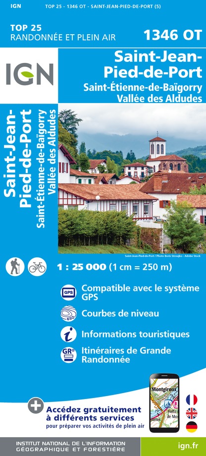
1346OT - ST-JEAN-PIED-DE-PORT ST-ETIENNE-DE-BAIGORRY VALLEE DES ALDUDES
Editor : IGN
Collection : TOP 25 ET SÉRIE BLEUE
Scale : 1:25 000
13.90€

TOP75023 - PAYS BASQUE
Editor : IGN
Collection : TOP 75
Scale : 1:75 000
9.80€

TOP100D64 - PYRÉNÉES-ATLANTIQUES PAU BAYONNE BIARRITZ PAYS BASQUE BÉARN
Editor : IGN
Collection : TOP 100
Scale : 1:100 000
8.40€

166 DAX BAYONNE PAYS BASQUE
Editor : IGN
Collection : TOP 100
Scale : 1:100 000
8.40€

89021 - ST-JACQUES-DE-COMPOSTELLE GR®65-2 DE MOISSAC A RONCEVAUX
Editor : IGN
Collection : DECOUVERTE DES CHEMINS
Scale : 1:100 000
9.10€

89030 - TRAVERSEE DES PYRENEES GR10®
Editor : IGN
Collection : DECOUVERTE DES CHEMINS
Scale : 1:100 000
9.10€

D64 PYRÉNÉES-ATLANTIQUES
Editor : IGN
Collection : CARTES DÉPARTEMENTALES IGN
Scale : 1:150 000
5.90€

NR10 NOUVELLE-AQUITAINE RECTO /VERSO LIMOUSIN POITOU
Editor : IGN
Collection : CARTES RÉGIONALES IGN
Scale : 1:250 000
6.80€

NR11 NOUVELLE-AQUITAINE RECTO/VERSO BASSIN AQUITAIN
Editor : IGN
Collection : CARTES RÉGIONALES IGN
Scale : 1:250 000
6.80€

EUROPE
Editor : IGN
Collection : DÉCOUVERTE DES PAYS DU MONDE IGN
Scale : 1:2 500 000
7.00€
Data author

proposed by
Office de Tourisme Pays Basque
64502 France
Ratings and reviews
To see around