Alert
Alerts
Description
Map
Ratings and reviews
See around
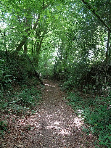
Ruisseau de Kerguerizen
Credit
: OTPRM
Description
Traverser le ruisseau et poursuivre jusqu'à la route de Saint-Hernec. Avant le village, prendre la route sur la gauche qui se transforme en chemin d'exploitation. Le suivre jusqu'à Quilvien d'en Bas. Emprunter la route et au carrefour, prendre à droite sur 700 m. La quitter au niveau de la station d'épuration. Emprunter le sentier jusqu'à Kerlan. Au bout de la route, prendre à droite et tout de suite à gauche pour longe le lac du Bel Air.
Technical Information
Lat, Lng
48.0484302-3.4473681
Coordinates copied
Altitude
113 m
Uncertain state
Point of Interest updated on 08/01/2018
This point of interest hasn't been updated recently, which could compromise the reliability of this information. We recommend that you inquire and take all necessary precautions. If you're the author, please verify your information.
Altimetric profile
Data author

Ratings and reviews
To see around