Alert
Alerts


Description
Map
Ratings and reviews
See around
Point 6
Description
A la côte 184 m, descendez à droite le sentier herbeux vers le gué sur le ruisseau de la Carnoye que vous franchissez pour grimpez jusqu’à une route. Partez à gauche sur 50 m puis bifurquez de nouveau à gauche, poursuivez sur 500 m et suivez la rue du Fournil ; grimpez la ruelle entre les n° 133 et 87, prenez à gauche et poursuivez vers l’église et la place – jetez un oeil sur la vallée de la Solre et le panorama verdoyant du Camp de Dimechaux. Contournez la place au niveau de la salle des fêtes et descendez à gauche la rue du Moulin puis bifurquez à droite sur la rue de la Gare. Bien suivre le balisage jaune.
Technical Information
Lat, Lng
50.22006214.0403363
Coordinates copied
Uncertain state
Point of Interest updated on 22/05/2019
This point of interest hasn't been updated recently, which could compromise the reliability of this information. We recommend that you inquire and take all necessary precautions. If you're the author, please verify your information.
Altimetric profile
IGN cards

2806SB - MAUBEUGE JEUMONT
Editor : IGN
Collection : TOP 25 ET SÉRIE BLEUE
Scale : 1:25 000
13.90€
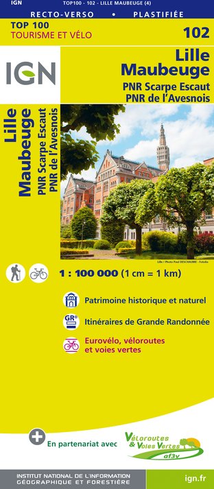
102 LILLE MAUBEUGE PNR SCARPE ESCAUT PNR DE L'AVESNOIS
Editor : IGN
Collection : TOP 100
Scale : 1:100 000
8.40€

D59-62 NORD PAS-DE-CALAIS
Editor : IGN
Collection : CARTES DÉPARTEMENTALES IGN
Scale : 1:150 000
5.90€

NR05 GRAND EST RECTO/VERSO MASSIF DES VOSGES ALSACE LORRAINE
Editor : IGN
Collection : CARTES RÉGIONALES IGN
Scale : 1:250 000
6.80€

NR04 - GRAND EST RECTO/VERSO ARDENNE CHAMPAGNE
Editor : IGN
Collection : CARTES RÉGIONALES IGN
Scale : 1:250 000
6.80€

NR01 HAUTS-DE-FRANCE
Editor : IGN
Collection : CARTES RÉGIONALES IGN
Scale : 1:250 000
6.80€

EUROPE
Editor : IGN
Collection : DÉCOUVERTE DES PAYS DU MONDE IGN
Scale : 1:2 500 000
7.00€

PAYS-BAS BELGIQUE LUXEMBOURG
Editor : IGN
Collection : DÉCOUVERTE DES PAYS DU MONDE IGN
Scale : 1:300 000
7.00€
Data author

Ratings and reviews
To see around