Alerta
Alertas
The rocks of the Jardonnet


Descripción
The wildest site of the Valley of Ain. If you walk along the river, you will admire the impressive cliffs of Jarbonnet. An atmosphere of end of the world, silent and strange...
Información técnica
Perfil altimétrico
Información adicional
Updated by
Bourg-en-Bresse Destinations - Office de tourisme - 19/12/2024
www.bourgenbressedestinations.fr
Report a problem
Price(s)
Free access.
Open period
All year round.
Contact
Email : mairie@hautecourt-romaneche.fr
Website : hautecourtromaneche.grandbourg.fr/
Location complements
The Secondary Road D979 towards Hautecourt then, the Secondary Road D81 towards Cize
Tips
Free tourist map available at the Tourist Office between local councils
Reception complements
Free tourist map available at the Tourist Office between local councils Site accessible all year long
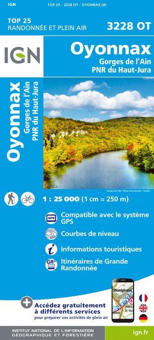
IGN tarjetas


Autor de los datos
