Alerta
Alertas
Natural site of the Mont Thabor


Descripción
The natural site of Mont-Thabor lays between 1750 m and 3178m altitude over 4 806 hectares and overing several towns of Maurienne. Meadowas, prairies, rocky habitat are caracteristics to the site with a diverse flora and fauna.
Información técnica
Perfil altimétrico
Información adicional
Updated by
Haute Maurienne Vanoise Tourisme - 10/12/2024
www.haute-maurienne-vanoise.com
Report a problem
Price(s)
Free access.
Reception conditions for animals
Pets kept on a leash.
Open period
From 01/01 to 31/12. Subject to favorable snow and weather conditions.
Location complements
Motorway A43 to Modane then Valfréjus 6km.
Contact
Phone : 04 79 05 04 01
Website : www.haute-maurienne-vanoise.com
Reception complements
The last car park accessible from Valfréjus is at the Lavoir, a narrow road that is passable but not tarmacked.
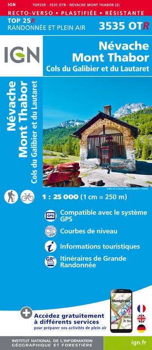
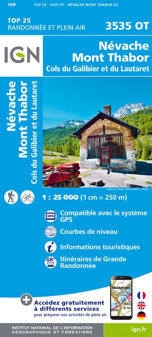
IGN tarjetas


