Alerta
Alertas
Descripción
Calificaciones y reseñas
Ver alrededor
The oyster marsh

Crédito
: OT MEDOC ATLANTIQUE
Annonce
Descripción
2014 saw the resumption of oyster farming along the estuary, which had previously been banned.
The quality of the water now allows oysters to be matured in the marsh for sale to private individuals. The site also boasts a leisure area where the common denominator is a love of nature, including fishing and the observation of seabirds such as curlews, plovers, redshanks and various sandpipers.... There is also a picnic area where you can eat on site in a peaceful setting.
A fishing net is available for visitors, mainly for mules and mullets, and can be hired from the Mairie.
Información técnica
Lat, Lng
45.4936854-1.0442791
Coordenadas copiadas
Punto de interés actualizado el 06/02/2025
IGN tarjetas

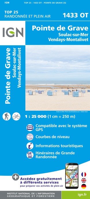
1433OT - POINTE DE GRAVE SOULAC-SUR-MER VENDAYS MONTALIVET
Editora : IGN
Recopilación : TOP 25 ET SÉRIE BLEUE
Escalera : 1:25 000
13.90€

145 BORDEAUX ARCACHON GIRONDE MÉDOC
Editora : IGN
Recopilación : TOP 100
Escalera : 1:100 000
8.40€

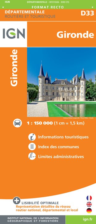
D33 GIRONDE
Editora : IGN
Recopilación : CARTES DÉPARTEMENTALES IGN
Escalera : 1:150 000
5.90€

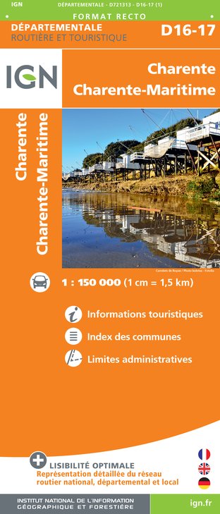
D16-17 CHARENTE CHARENTE-MARITIME
Editora : IGN
Recopilación : CARTES DÉPARTEMENTALES IGN
Escalera : 1:150 000
5.90€

EUROPE
Editora : IGN
Recopilación : DÉCOUVERTE DES PAYS DU MONDE IGN
Escalera : 1:2 500 000
7.00€
Autor de los datos

propuesto por
OT Médoc Atlantique
33590 France


