Alert
Alerts
Description
Map
Ratings and reviews
See around
Arrosagaraiko bideen elkargunetik (alt.330 m) Atxuria gailurrera
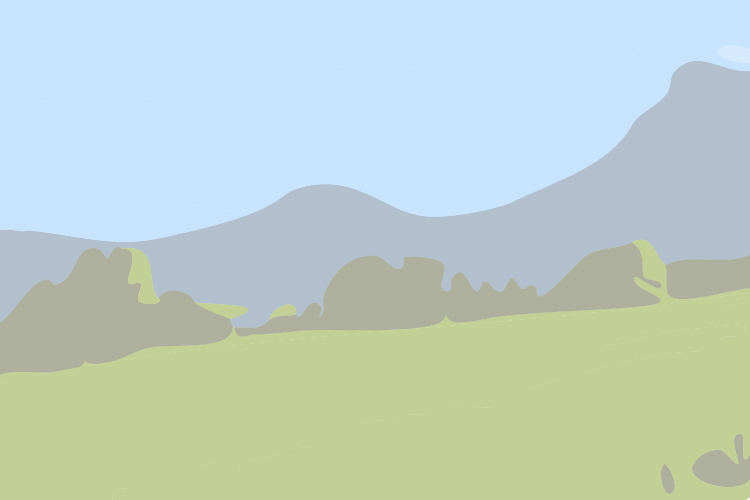
Credit
: B. Valcke
Description
Bideen elkargunean, xeila bat badela eskuin (330 m), ezkerrekoa hartu. Beste bide bat topatzen duzularik, eskuinerantz igo. Eskuinera jaisten den bidea utzi eta segi ezker igotzen. Konifero-landa baten bazterrera iritsi eta, bideak bihurgune bat marrazten du eskuinera, eta ondotik, ezkerrera. 120 m urrunago, guti gorabehera, bidea utzi eta eskuinera doan bigarren mailako bide belartsuan igo. Bihurgune zenbait marrazten ditu eta lautzen da. Diagonalean ezkerrera igo, tontor-lerrora hurbilduz urratsez urrats, beti ere 10 - 20 m-tan egonez behere aldean. Atxuria gailurrera iritsi (cairn handia).
Technical Information
Lat, Lng
43.2649974-1.5770053
Coordinates copied
Uncertain state
Point of Interest updated on 01/01/1970
This point of interest hasn't been updated recently, which could compromise the reliability of this information. We recommend that you inquire and take all necessary precautions. If you're the author, please verify your information.
Altimetric profile
IGN cards

1245OT - HENDAYE SAINT-JEAN-DE-LUZ COTE D'ARGENT
Editor : IGN
Collection : TOP 25 ET SÉRIE BLEUE
Scale : 1:25 000
13.90€

TOP75023 - PAYS BASQUE
Editor : IGN
Collection : TOP 75
Scale : 1:75 000
9.80€

166 DAX BAYONNE PAYS BASQUE
Editor : IGN
Collection : TOP 100
Scale : 1:100 000
8.40€

TOP100D64 - PYRÉNÉES-ATLANTIQUES PAU BAYONNE BIARRITZ PAYS BASQUE BÉARN
Editor : IGN
Collection : TOP 100
Scale : 1:100 000
8.40€

89030 - TRAVERSEE DES PYRENEES GR10®
Editor : IGN
Collection : DECOUVERTE DES CHEMINS
Scale : 1:100 000
9.10€

D64 PYRÉNÉES-ATLANTIQUES
Editor : IGN
Collection : CARTES DÉPARTEMENTALES IGN
Scale : 1:150 000
5.90€

NR11 NOUVELLE-AQUITAINE RECTO/VERSO BASSIN AQUITAIN
Editor : IGN
Collection : CARTES RÉGIONALES IGN
Scale : 1:250 000
6.80€

NR10 NOUVELLE-AQUITAINE RECTO /VERSO LIMOUSIN POITOU
Editor : IGN
Collection : CARTES RÉGIONALES IGN
Scale : 1:250 000
6.80€

EUROPE
Editor : IGN
Collection : DÉCOUVERTE DES PAYS DU MONDE IGN
Scale : 1:2 500 000
7.00€
Data author

proposed by
Office de Tourisme Pays Basque
64502 France
Ratings and reviews
To see around