Allarme
Allarmi
Champataule's water level


Descrizione
Private water body and requires the purchase of a specific card this water body is not accessible with the reciprocal card
The 3 lakes are easily accessible by car and are quite shady.
The lake of Champataule South is populated with numerous carps which sometimes come to invade the blows of the fishermen to the blow, at the beginning of the year the English one is a technique has not to neglect to carry out beautiful catches of carps. The most beautiful fishing are realized between March and June.
The lake of Champataule North is a plan populated with roach, fishing between two waters is ideal to avoid catfish and to make beautiful roach.
Finally the small lake (the deepest) is probably the hardest technically but it remains very interesting to fish and it remains very fishy
Informazioni tecniche
Profilo altimetrico
Informazioni aggiuntive
Updated by
Bourg-en-Bresse Destinations - Office de tourisme - 05/01/2025
www.bourgenbressedestinations.fr
Report a problem
Contact
Phone :
04 74 25 30 88
04 74 25 31 94
Email : accueil@viriat.fr
Website : viriat.fr/
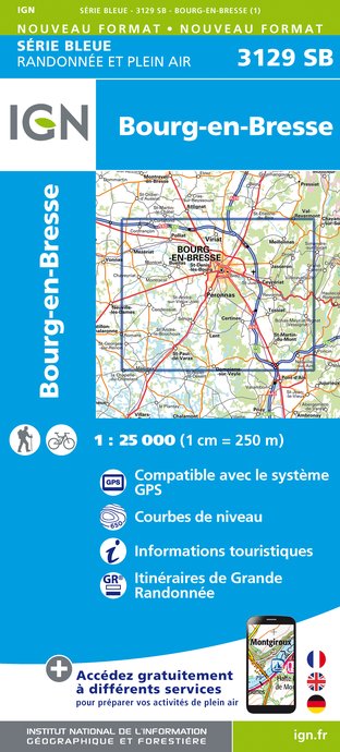
IGN Carte


