Allarme
Allarmi
Journans municipal campground


Descrizione
Just a few minutes from the A40 Bourg-Sud freeway exit and the Bourg-en-Bresse/Pont d'Ain axis, the Journans campsite invites you to relax and unwind. It is located at 192, montée de Saint-Valérien.
GPS coordinates: 46.14742, 5.33094
Journans lies at the foot of the Revermont Massif, some ten kilometers southeast of Bourg-en-Bresse. Nestled in the greenery in the shade of its tall trees, the municipal campsite offers a breathtaking view of the vineyards, the village and the Bresse plain.
The campsite is open from May 1 to September 30:
- 31 shaded pitches, bordered by hedges, for caravans, tents, motorhomes and vans (note difficult access for large motorhomes).
- 1 sanitary block with showers, WCs, washbasins, laundry and dishwashing bins, washing machine and freezer
- electrical boxes (6A plugs), 1 camper van drainage system
- 1 picnic table, 1 play area (swings, bowls, table tennis)
Dogs and cats are welcome, but barbecues and fires are prohibited.
Located on the GR59 linking the Alsace balloon to Savoie, this campsite is the ideal address for nature lovers. It's the starting point for numerous walks.
Nearby: the old village, the source of the Reyssouze, the chapel of Saint-Valérien and the many paths winding through gardens, vineyards and forest, linking the surrounding villages in a bucolic way and offering beautiful views.
A little further afield: Bourg-en-Bresse, the Bouvent water park, the royal monastery of Brou, the Revermont villages, the Ain gorges, Ambronay abbey, the Cerdon copperworks, the medieval town of Pérouges, the Villars-les-Dombes bird park, the Dombes lake circuit, the Bresse farm circuit, Lake Nantua, Lake Genin, ... and also Lyon, Jura, Lac du Bourget, Lac d'Annecy, .....
Informazioni tecniche
Profilo altimetrico
Informazioni aggiuntive
Updated by
Bourg-en-Bresse Destinations - Office de tourisme - 29/11/2024
www.bourgenbressedestinations.fr
Report a problem
Ranking and capacity
Unclassified
Open period
From 01/05 to 30/09/2024.
Contact
Phone : 06 52 47 47 63
Email : campingjournans@outlook.fr
Website :
www.journans.fr/guide-pour-les-visiteurs/le-camping/
www.journans.fr
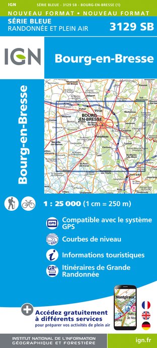
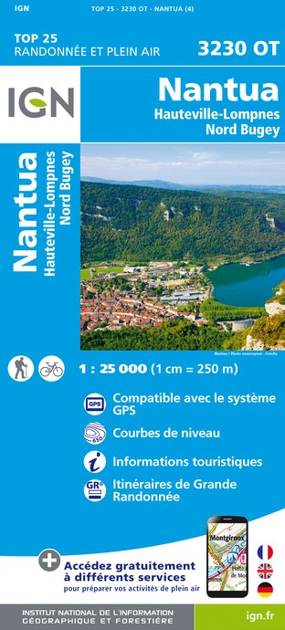
IGN Carte


