Waarschuwing
Waarschuwingen
Beschrijving
Kaart
Beoordelingen en recensies
Zie rondom
Condamine Reservoir
Beschrijving
The first hydroelectric schemes dug into the mountain to make way for turbines.
From the Fare waterfall, a pipe crosses under the hamlet of Perrier to join another pipe that feeds the Verney power station. There is a door at each access to the pipe. The children of the village who looked after the animals had to keep a day at gate 1, then 2 etc... The gates of the pipe were used as markers.
Technische informatie
Breedte, Lengte
45.151836.05878
Gekopieerde coördinaten
Interessant punt bijgewerkt op 07/05/2025
Hoogteprofiel
Aanvullende informatie
Price(s)
Free access.
Updated by
Office de Tourisme de Vaujany - 29/04/2025
www.vaujany.com/fr/
Report a problem
IGN kaarten

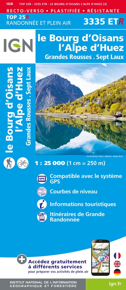
3335ETR - LE BOURG-D'OISANS L'ALPE D'HUEZ RESISTANTE GRANDES ROUSSES SEPT LAUX
Uitgever : IGN
Verzameling : TOP 25 RÉSISTANTE
Ladder : 1:25 000
17.20€

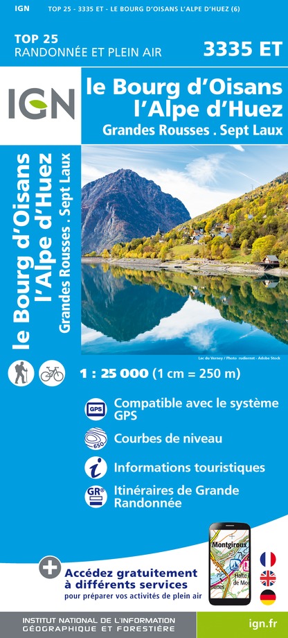
3335ET - LE BOURG-D'OISANS L'ALPE D'HUEZ GRANDES ROUSSES SEPT LAUX
Uitgever : IGN
Verzameling : TOP 25 ET SÉRIE BLEUE
Ladder : 1:25 000
13.90€

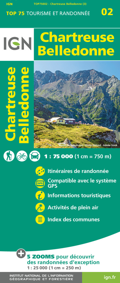
TOP75002 - CHARTREUSE BELLEDONNE
Uitgever : IGN
Verzameling : TOP 75
Ladder : 1:75 000
9.80€

TOP100D73 - SAVOIE CHAMBÉRY ALBERTVILLE PARC NATIONAL DE LA VANOISE PNR DU MASSIF DES BAUGES
Uitgever : IGN
Verzameling : TOP 100
Ladder : 1:100 000
8.40€

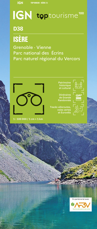
TOP100D38 - ISÈRE GRENOBLE VIENNE PARC NATIONAL DES ÉCRINS PARC NATUREL RÉGIONAL DU VERCORS
Uitgever : IGN
Verzameling : TOP 100
Ladder : 1:100 000
8.40€

202 JURA ALPES DU NORD
Uitgever : IGN
Verzameling : TOP 200
Ladder : 1:200 000
6.80€

D38 ISÈRE
Uitgever : IGN
Verzameling : CARTES DÉPARTEMENTALES IGN
Ladder : 1:150 000
5.90€

D04-05 ALPES-DE-HAUTE-PROVENCE HAUTES-ALPES
Uitgever : IGN
Verzameling : CARTES DÉPARTEMENTALES IGN
Ladder : 1:150 000
5.90€

NR15 AUVERGNE-RHÔNE-ALPES RECTO/VERSO MASSIF ALPIN
Uitgever : IGN
Verzameling : CARTES RÉGIONALES IGN
Ladder : 1:250 000
6.80€

NR16 PROVENCE-ALPES-CÔTE D'AZUR
Uitgever : IGN
Verzameling : CARTES RÉGIONALES IGN
Ladder : 1:250 000
6.80€

NR14 AUVERGNE-RHÔNE-ALPES RECTO/VERSO MASSIF CENTRAL
Uitgever : IGN
Verzameling : CARTES RÉGIONALES IGN
Ladder : 1:250 000
6.80€

EUROPE
Uitgever : IGN
Verzameling : DÉCOUVERTE DES PAYS DU MONDE IGN
Ladder : 1:2 500 000
7.00€
Gegevensauteur

voorgesteld door
Office de Tourisme Vaujany
Beoordelingen en recensies
Om te zien rondom