Alert

Alerts

To see around
See more
Open
Close
Show
Show
Show
Show
Show
Show
Show
Show
Show
Show
Show

Oups... It would appear that Cirkwi does not have permission to use your location.

Presentation
Description
Map
Points of interest
Ratings and reviews
See around

Col des Aravis - Bogneuve - Chaucisse - Flumet

Col des Aravis - Bogneuve - Chaucisse - Flumet

IGN cards

3531OTR - MEGEVE RESISTANTE COL DES ARAVIS
Editor : IGN
Collection : TOP 25 RÉSISTANTE
Scale : 1:25 000
17.20€
3430ETR - LA CLUSAZ RESISTANTE LE GRAND-BORNAND
Editor : IGN
Collection : TOP 25 RÉSISTANTE
Scale : 1:25 000
17.20€
3430ET - LA CLUSAZ LE GRAND-BORNAND
Editor : IGN
Collection : TOP 25 ET SÉRIE BLEUE
Scale : 1:25 000
13.90€
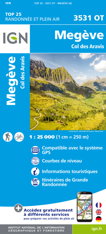
3531OT - MEGEVE COL DES ARAVIS
Editor : IGN
Collection : TOP 25 ET SÉRIE BLEUE
Scale : 1:25 000
13.90€
TOP75032 - CHAINE DES ARAVIS - MASSIF DES BAUGES
Editor : IGN
Collection : TOP 75
Scale : 1:75 000
9.80€
TOP75004 - BEAUFORTAIN MASSIF DU MONT BLANC
Editor : IGN
Collection : TOP 75
Scale : 1:75 000
9.80€
TOP100D74 - HAUTE-SAVOIE ANNECY THONON-LES-BAINS MASSIF DU MONT BLANC CHAÎNE DES ARAVIS
Editor : IGN
Collection : TOP 100
Scale : 1:100 000
8.40€
TOP100D73 - SAVOIE CHAMBÉRY ALBERTVILLE PARC NATIONAL DE LA VANOISE PNR DU MASSIF DES BAUGES
Editor : IGN
Collection : TOP 100
Scale : 1:100 000
8.40€
202 JURA ALPES DU NORD
Editor : IGN
Collection : TOP 200
Scale : 1:200 000
6.80€
D38 ISÈRE
Editor : IGN
Collection : CARTES DÉPARTEMENTALES IGN
Scale : 1:150 000
5.90€
NR15 AUVERGNE-RHÔNE-ALPES RECTO/VERSO MASSIF ALPIN
Editor : IGN
Collection : CARTES RÉGIONALES IGN
Scale : 1:250 000
6.80€
NR14 AUVERGNE-RHÔNE-ALPES RECTO/VERSO MASSIF CENTRAL
Editor : IGN
Collection : CARTES RÉGIONALES IGN
Scale : 1:250 000
6.80€
SUISSE
Editor : IGN
Collection : DÉCOUVERTE DES PAYS DU MONDE IGN
Scale : 1:303 000
7.00€
EUROPE
Editor : IGN
Collection : DÉCOUVERTE DES PAYS DU MONDE IGN
Scale : 1:2 500 000
7.00€

Technical Information

Mountainbiking
Difficulty
Medium
Duration
4h
Dist.
16 km
Show more

Altimetric profile

Starting point

73590   La Giettaz
Lat : 45.872046Lng : 6.465311

Points of interest

image du object

Château des Faucigny

The Château des Faucigny, fortified in the 12th century, is now a ruin. However, the building was once of great architectural and historical value and was part of the original development of Flumet.Flumet’s location, on a rocky spur above the river Arly and where the two mountain passes of Aravis and Les Saisies meet, meant that from the 11th century it was at the southern tip of the Lords of Faucigny’s estates, bordering the House of Savoy's territory. Because of these geo-strategic reasons, the Lords of Faucigny decided to build a château in the vicinity. It’s not possible to give an accurate date for the build, although some historians think it dates back to the 11th century. However, it is known that Aimon II of Faucigny extended the château de Flumet in around 1200. It was built in polygonal form with thick walls and has a square tower in the centre. It was only after the château was built that the fortified town of Flumet was created: the château is therefore the starting point of this village’s history. Principally a place of residence, it was initially home to the Lords of Faucigny on an occasional basis before it became their main residence, demonstrating the influence they had on the territory. It was a defensive building, serving as an advance position in the face of the threat from the neighbouring Savoyards. Once the Faucigny lands fell into the possession of the House of Savoy in 1355, it lost its military importance. From the 15th century, the château slowly fell into ruin, maintained from time to time by the inhabitants of the village. After the village fire of 1679, the local residents were allowed to rebuild their houses with stones from the château, although they were not permitted to touch the tower. As a result of these events and the ravages of time, the château’s general state of repair has worsened considerably over the last few years and is close to disappearing forever.

- Office de Tourisme du Val d'Arly -
Consulter
image du object

Suspended houses – panoramic view

Flumet’s suspended houses, with their foundations built into the actual rock, overlook the river Arly 40m below. The only example of its kind in Savoie, this architectural group of buildings is most unusual, with breathtaking, dizzying views.It was in the 13th century that the Lords of Faucigny founded the village of Flumet. In order to attract people to the area, they granted franchises (freedoms and privileges) to the burghers of Flumet, each of them being given an equal-sized parcel of land to build their house on. Having created the village, they built walls around it. On the Arly side of the village, the houses were built on the rocky spur overhanging the river by several tens of metres : it was therefore not necessary to fortify the enclosure at this point, as the geography of the place offered sufficient natural protection. A gate marked the entrance to the village on this side and you can still see the opening today in the Rue du Mont-Blanc. It led to a path that runs down to the river Arly, enabling access to Notre-Dame-de-Bellecombe. Since the 13th century, despite the village fire in 1679 and various other tribulations over time, the appearance of the suspended houses has changed very little (see the cadastral plans dated 1730), except for the gradual loss of shingled roofs and the appearance of modern features (satellite dishes, big windows, plain bannisters) which has toned down the traditional charm of this style of architecture. However, the suspended houses have retained their unique style with their tangle of balconies, galleries, homes, stairways, chimneys etc. Indeed, the stone foundations that you can see probably go back to the beginnings of the village. Not forgetting their dizzying aspect which just has to be seen and which can be viewed from different points in the village (Place du Château, Pont des Abymes, Lacets des Avenières).

- Office de Tourisme du Val d'Arly -
Consulter

Date and time

  • From 01/05/2024 to 31/10/2024
  • From 01/05/2025 to 31/10/2025

Additional information

Updated by

Office de Tourisme du Val d'Arly - 17/07/2024
www.valdarly-montblanc.com
Report a problem

Open period

De 01/05 a 31/10.

Contact

Phone : 04 79 32 91 90

Email : sentiers@valdarly-montblanc.com

Ratings and reviews

To see around
See more
Open
Close
Show
Show
Show
Show
Show
Show
Show
Show
Show
Show
Show
Caution!
We have no information on the difficulty of this circuit. You may encounter some surprises along the way. Before you go, please feel free to inquire more and take all necessary precautions. Have a good trip! 🌳🥾