警报
警报
描述
地图
评级和评论
周围的看点
Hikking "Le sanglier"

描述
Walk in forest trail, in the Clergeon mountain, with remarkable geological points of interest.
高程剖面
补充信息
Updated by
Office de Tourisme Rumilly - Albanais - 25/07/2024
www.rumilly-tourisme.com
Report a problem
Open period
All year round.
Contact
Phone : 04 50 64 58 32
Email : contact@rumilly-tourisme.com
Website : www.rumilly-tourisme.com
IGN 地图

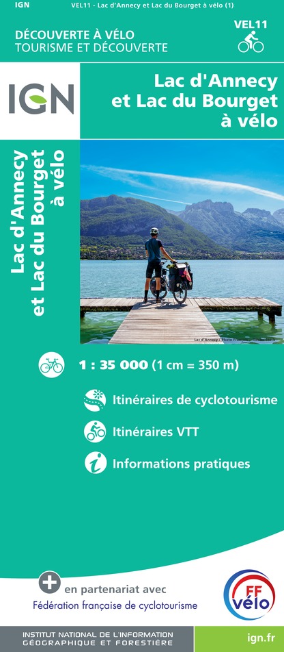
VEL11 - LAC D'ANNECY ET LAC DU BOURGET A VELO
编辑器 : IGN
收藏 : DECOUVERTE A VELO
梯子 : 1:35 000
9.10€

TOP100D73 - SAVOIE CHAMBÉRY ALBERTVILLE PARC NATIONAL DE LA VANOISE PNR DU MASSIF DES BAUGES
编辑器 : IGN
收藏 : TOP 100
梯子 : 1:100 000
8.40€

TOP100D74 - HAUTE-SAVOIE ANNECY THONON-LES-BAINS MASSIF DU MONT BLANC CHAÎNE DES ARAVIS
编辑器 : IGN
收藏 : TOP 100
梯子 : 1:100 000
8.40€

TOP100D01 - AIN BOURG-EN-BRESSE AMBÉRIEU-EN-BUGEY PAYS DE GEX
编辑器 : IGN
收藏 : TOP 100
梯子 : 1:100 000
8.40€

202 JURA ALPES DU NORD
编辑器 : IGN
收藏 : TOP 200
梯子 : 1:200 000
6.80€

89026 - GRANDES TRAVERSÉES DU JURA - GTJ
编辑器 : IGN
收藏 : DECOUVERTE DES CHEMINS
梯子 : 1:105 000
9.10€

D01-69 AIN RHÔNE
编辑器 : IGN
收藏 : CARTES DÉPARTEMENTALES IGN
梯子 : 1:150 000
5.90€

D38 ISÈRE
编辑器 : IGN
收藏 : CARTES DÉPARTEMENTALES IGN
梯子 : 1:150 000
5.90€

NR14 AUVERGNE-RHÔNE-ALPES RECTO/VERSO MASSIF CENTRAL
编辑器 : IGN
收藏 : CARTES RÉGIONALES IGN
梯子 : 1:250 000
6.80€

NR15 AUVERGNE-RHÔNE-ALPES RECTO/VERSO MASSIF ALPIN
编辑器 : IGN
收藏 : CARTES RÉGIONALES IGN
梯子 : 1:250 000
6.80€

EUROPE
编辑器 : IGN
收藏 : DÉCOUVERTE DES PAYS DU MONDE IGN
梯子 : 1:2 500 000
7.00€

SUISSE
编辑器 : IGN
收藏 : DÉCOUVERTE DES PAYS DU MONDE IGN
梯子 : 1:303 000
7.00€
数据作者
1 Place de la Manufacture 74150 Rumilly France
评级和评论
周围的看点
