Alert

Alerts

To see around
See more
Open
Close
Show
Show
Show
Show
Show
Show
Show
Show
Show
Show
Show

Oups... It would appear that Cirkwi does not have permission to use your location.

OSM Map
OSM Map
OpenStreetMap
Satellite images
Satellite images
Google
GoogleMap Map
GoogleMap Map
Google
Hybrid Map
Hybrid Map
Google
IGN - France
IGN - France
IGN
Cadastral Plan
Cadastral Plan
IGN
Presentation
Description
Map
Points of interest
Ratings and reviews
See around

UNESCO Global Geopark Famenne-Ardenne: Geotrail of Hotton

UNESCO Global Geopark Famenne-Ardenne: Geotrail of Hotton
Credit : Geopark Famenne-Ardenne

Description

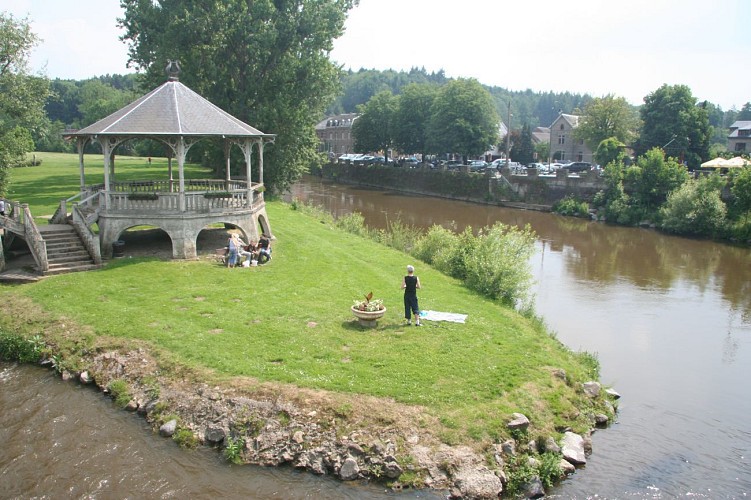
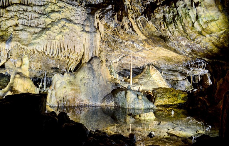
Hotton lies within the Famenne in the Ourthe valley, just downstream of where the river runs through the limestone layers of the Calestienne. This trail will take you from one side of the Calestienne to the other, on both sides of the Ourthe valley. In the river valleys (Ourthe and Agauche), erosion has revealed the limestone rock in spectacular fashion, perfectly illustrating the almost vertical inclination of the strata. Elsewhere, it is mainly disused quarries that provide a better understanding of the region’s geology and the role it has played in shaping the landscapes and the development of local socio-economic activity: ancient buildings, mineral resources, agricultural methods. Capping it all, the Caves of Hotton offer visitors a chance to see for themselves what lies underground. The shorter option for this trail covers 7.3km, increasing to 8.9km if you take the routes via the Agauche stream, the Calestienne Garden and the Isbelle resurgence.

Technical Information

Walking
Difficulty
Medium
Duration
2h30mn (1d)
Dist.
7.5 km
Show more

Altimetric profile

Starting point

6 Rue Haute , 6990   Hotton
Lat : 50.26822Lng : 5.44768

Points of interest

image du object

Alouette Quarry

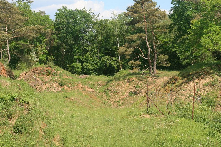
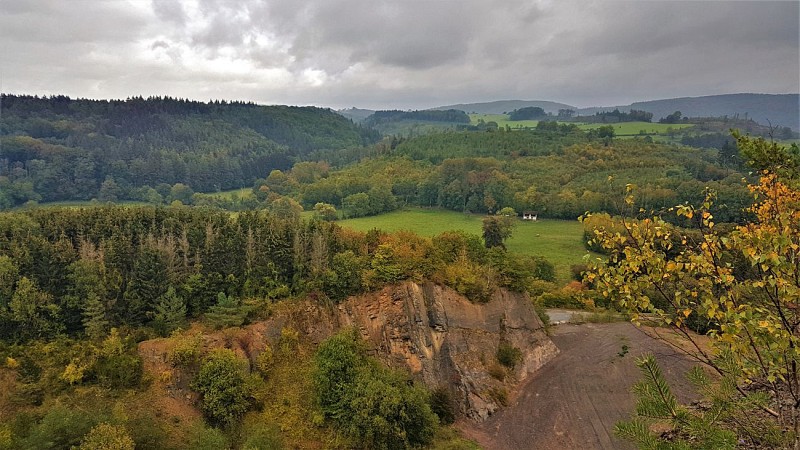
L’Alouette is a quarry, now abandoned, on land that forms part of the village of Menil-Favay, and was first worked in 1899. Unlike the region’s other quarries, which extract limestone, L’Alouette quarried a layer of often extremely hard Eifelian sandstone (quartzite) some twenty metres thick. The quarry no doubt started out producing the fieldstone, rough or dressed, used in the construction of buildings in the village of Ménil-Favay. The quarry also produced aggregates for road-building, as witnessed by the remains of the crushing units still partially visible on the site. After quarrying was abandoned, the quarry was purchased by the municipality of Hotton (1983) and was used for some time as a tip (1985). In 2012, the site was officially declared a stateowned nature reserve (RND). Local wildlife is protected, and visitors are asked not to pick flowers or disturb the peace and quiet of the site. Sheep and goats are regularly pastured here as a natural means of keeping the grass under control and thereby preserving the site’s biodiversity. The quarry marks the point of contact with the limestone rocks already visible on the north face of the quarry. This point where sandstone, consisting for the most part of quartz, meets limestone, mostly consisting of calcite, is one of the factors explaining the outstanding flora to be found here, with a particular wealth of orchids. The site is also home to a number of reptiles and no fewer than 34 different species of diurnal butterflies. The quarry looks down over the Agauche valley, and some of the spoil from the old workings has diverted the course of the water, maskinga swallow-hole connected to the underground river that flows through the Caves of Hotton.

Unnamed Road 6990 Hotton
- UNESCO Global Geopark Famenne-Ardenne -
Consulter
image du object

The Rocks of Renissart

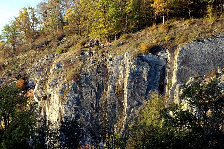
On the heights of the Renissart Rocks once stood the Roman camp of Ti-Château, covering an area of 1.7 hectares. From this strategic vantage point, the garrison was well placed to keep a watch on the River Ourthe and stand guard over the farms clustered below. A number of coins and gold artefacts dating from the days of the Roman Empire have been discovered on the site. Close by is the Trou Fré Djame (Brother William’s hole), a feature standing 20 metres above the Ourthe and named after a monk said to have lived there as a hermit long ago. The feature consists of a corridor beneath a rock arcade that cuts right through the rock, providing protection for a 5-metre long rock platform. The smooth surface of the passage and its virtually circular cross-section indicate that it was formed by limestone dissolving (karstification) and represents the remains of a former karst system nowexposed by erosion. Traces of Neolithic remains have been found at the site. The Rochers de Renissart geosite consists of a limestone massif with karst cavities that rises above the Ourthe, facing south. The site is of great interest on many fronts, as part of the landscape, geologically, biologically, archaeologically and historically, not to mention the leisure opportunities it provides. Some sections of the rock are suitable for climbing, and very popular with climbers in the Geopark. A total of 102 climbing routes are available to members of Belgian climbing clubs. A climbing guidebook can be purchased from the tourist office (syndicat d’initiative)in Hotton. The beach at the foot of the rocks is ideal for spending a relaxing day by the waterside.

95 Rue de La-Roche 6990 Hotton
- UNESCO Global Geopark Famenne-Ardenne -
Consulter

Ratings and reviews

To see around
See more
Open
Close
Show
Show
Show
Show
Show
Show
Show
Show
Show
Show
Show
Caution!
We have no information on the difficulty of this circuit. You may encounter some surprises along the way. Before you go, please feel free to inquire more and take all necessary precautions. Have a good trip! 🌳🥾