Alert
Alerts
Fenestre circuit


IGN cards


Description
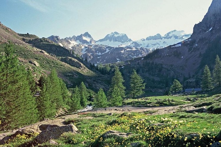
A circuit in the heart of the high peaks of the Mercantour. An emblematic itinerary which follows a historical path.
Leave from marker 357. The path zigzags upwards gently on the slope which features the sanctuary. The width and surface of the path may surprise you.
Before crossing the Magnin mountain stream (marker 368), head past the path which leads to Le Pas des Ladres a follow the direction of Le Lac de Fenestre. To the east, you can see Le Pas du Mont Colomb and on its right the northern slopes of Le Grand Caïre (2532 m) and Le Petit Caïre (2413 m).
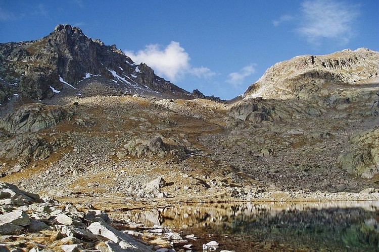
Continue until you reach Le Lac de Fenestre, at an altitude of 2266 metres. It is 250 metres long, 75 metres and up to 4 metres in depth.
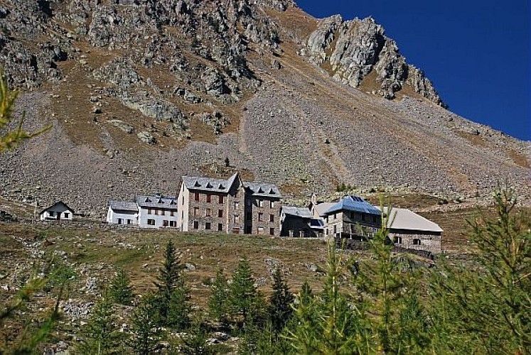
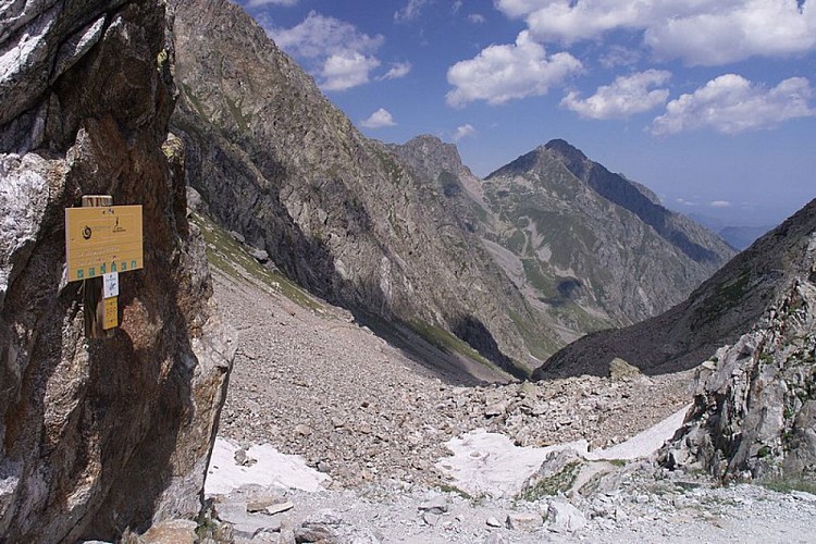
The path winds towards Le Col de Fenestre and heads between two bunkers which are sometimes frequented by ibex. You will reach the col after the intersection at marker 369. On the slopes on the Italian side, a barracks denotes the military purposes the area was used for in the past.
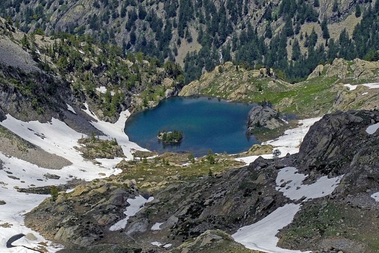
Return to marker 369. Turn right towards Le Pas des Ladres (marker 428), which provides an extensive view over the high Boreon valley and Lac de Trecolpas (2150 m). Continue along GR52 towards La Madone de Fenestre.
Technical Information
Altimetric profile
Starting point
Points of interest
Additional information
Departure
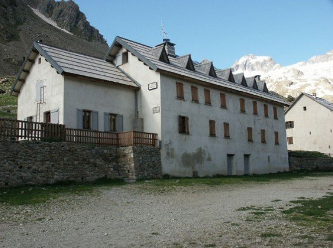
La Madone de Fenestre sanctuary, Saint Martin de Vésubie
Arrival
La Madone de Fenestre sanctuary, Saint Martin de Vésubie
Ambiance
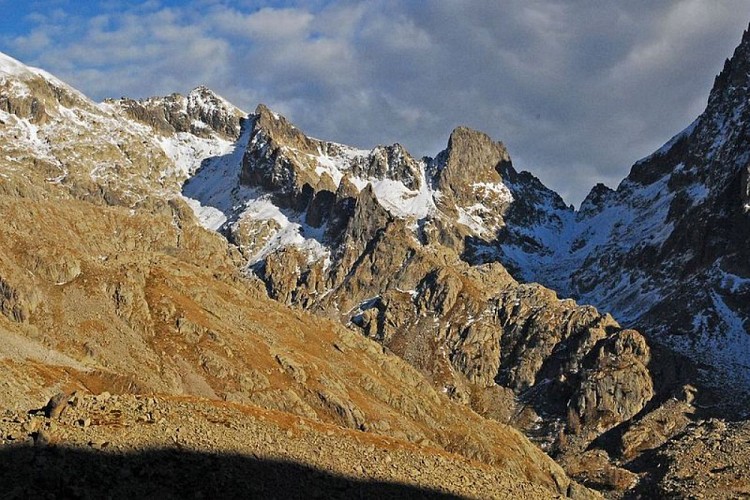
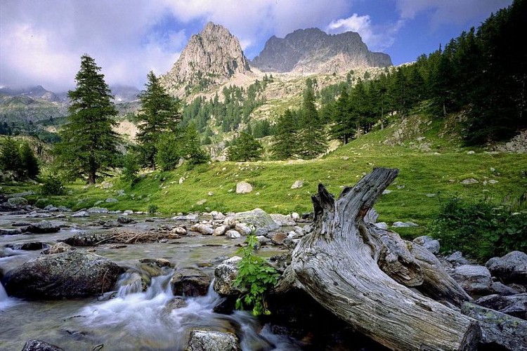
A mineral environment over which towers Le Gélas, the highest Alpes-Maritimes peak (3143m). This historical path, which reveals the Mercantour’s Alpine aspect, served as a passage between Le Comté de Nice and Le Piémont. You may be lucky enough to sport the larger animals which live in the Park…as long as you remain fairly inconspicuous!
Access
Reach the sanctuary of La Madone de Fenestre from St-Martin-Vésubie (11 km). The departure point is marker 357 behind the refuge (1908 m).
Advised parking
La Madone de Fenestre sanctuary carpark
Public transport
For access to La Madone de Fenestre: Randobus and minibus.Information available at Saint-Martin-Vésubie Tourism Office.
Advice
In early season, the path may become more difficult to walk along from Le Pas des Ladres onwards.
Is in the midst of the park
The national park is an unrestricted natural area but subjected to regulations which must be known by all visitors.
Data author


