Alert
Alerts
Discovery trail of the moors and peat bogs of Mazure: Large Loop

IGN cards




Description
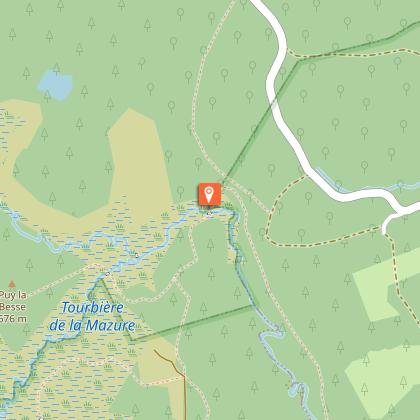
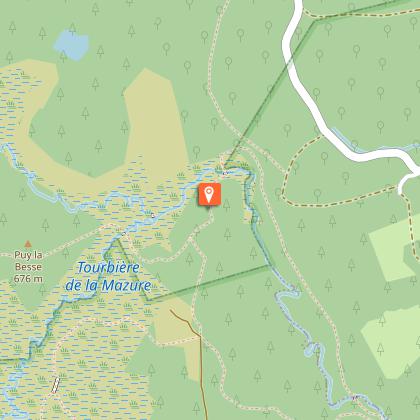
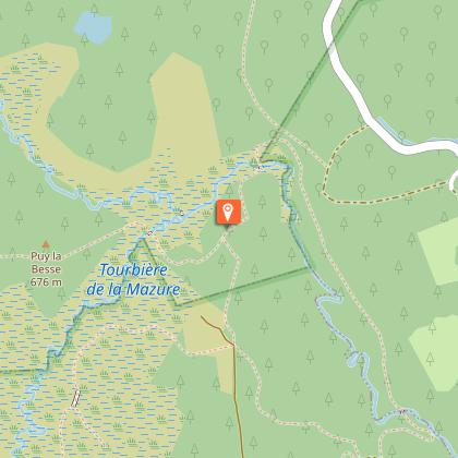
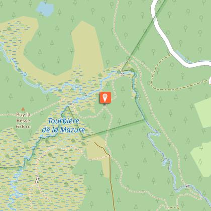
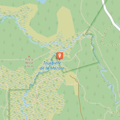
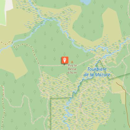
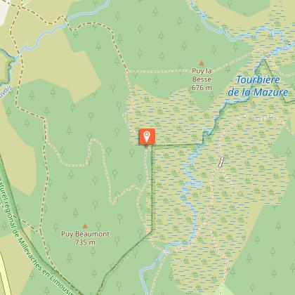
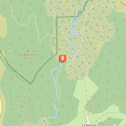
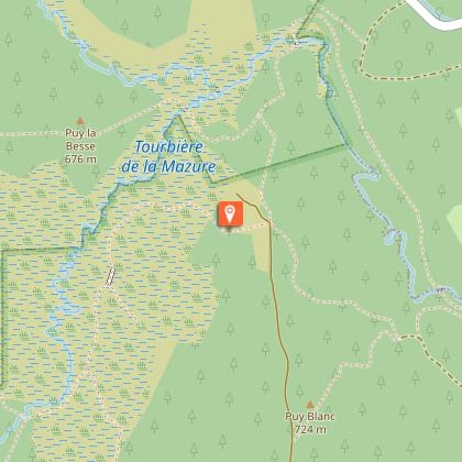
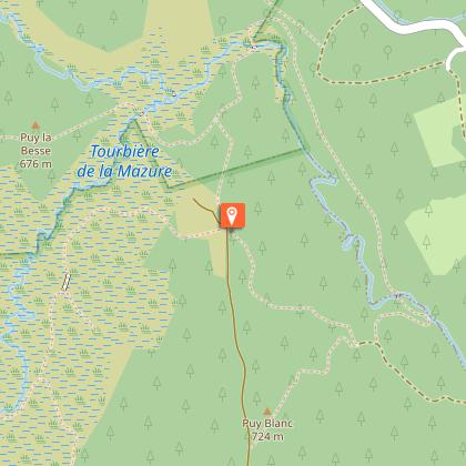
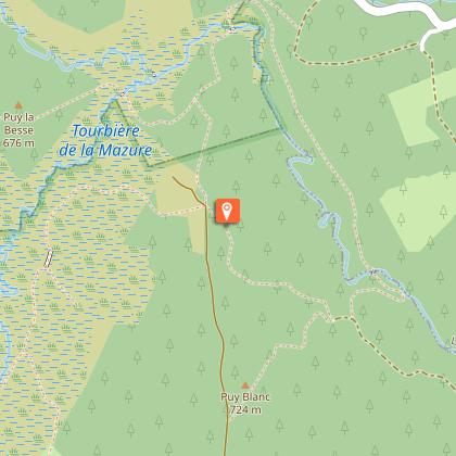
Come and explore a large peat bog classified as a Natura 2000 site, rich in a remarkable heritage that is preserved.From the car park, head towards the footbridge over the stream, pass the barrier and follow the wide track to the next intersection.Turn right, go through the woods up to a viewpoint with a bench. Continue a little in the woods, then go down towards the river to the ruins of a mill.Follow the old headrace to the footbridges that allow the stream to be crossed.Take the duckboards and continue straight on the path for a good distance.At the intersection, take the left-hand path, which then branches off to the left at a footbridge and passes over the dike of an old pond.Cross the river again and remember to close the gate. Climb the steep path that goes off to the right to reach a panoramic view.Descend onto the heath to a turtle-shaped rocky outcrop.Just past this rock, there are two options. The one presented here is the option of the large loop (another sheet presents a smaller loop: "Discovery trail of the moors and peat bogs of Mazure n°22: Small loop"). Take the path that goes straight down and then goes up towards the rocky outcrop that offers a beautiful view.Go down to the bottom of the valley. Once you reach the peat bog, the path branches off to the right. The landscaping allows you to cross the wettest areas and reach a stone bridge (known as a "plank bridge").Cross the river, turn left to reach a coniferous forest.Continue straight through this forest for a long distance until you reach the intersection of four paths.Turn left, go through the woods and then continue alongside the peat bog on a path lined with old low walls.At the intersection with another trail, continue straight ahead until you reach some duckboards, then a small stone bridge that allows you to cross the river again.Just after a small round trip to the right you can explore the remains of mills. Turn left, continue straight on a path that runs along the edge of the peat bog near the heather moors.A large duckboard allows you to cross a very wet area (caution). The path continues straight ahead on the edge and then branches off to the right into a shrubby area and climbs up into a fenced meadow.A fenced corridor makes it possible to cross this meadow in complete safety (beware, however, of apiary). At the end of the meadow, take the path opposite (slightly to the left) in a coniferous forest.The path then continues through a leafy forest, branching off to the right to an old fishery.Continue on the right, following the watercourse, until the next intersection with a wide path.Take this path on the left, go on alongside the fenced pasture and continue straight on the path (taken on the outward journey) to return to the car park.
Technical Information
Altimetric profile
Starting point
Steps
Points of interest
Additional information
Advised parking
Parking the foot of the Devil's Rock, near the RD7
Advice
Trail not accessible to people with reduced mobility and strollers. Walking shoes/trainers strongly recommended. Please respect the tranquillity of the shepherd and his flock. Dogs prohibited from May to September (presence of roaming ewes and wild species not to be disturbed).
Access
From Royère de Vassivière, take the RD7 in the direction of the devil's gully.
Ambiance
This trail goes through different ecological settings that guarantee a rich biodiversity. In the past, moors and peat bogs have been used for various purposes. Today, it is important to look after these landscapes, too long neglected. This site combines both an exceptional natural heritage and a vernacular heritage testifying to the development of local life.
Arrival
Devil's Rock
Departure
Devil's Rock


