Alert
Alerts
Confluence Trail

IGN cards


Description
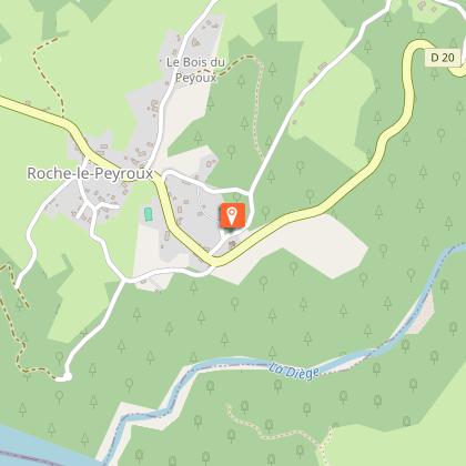
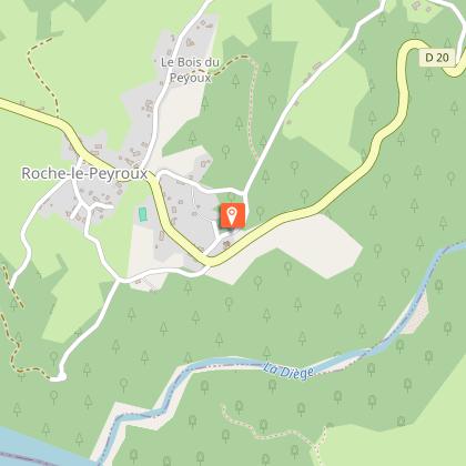
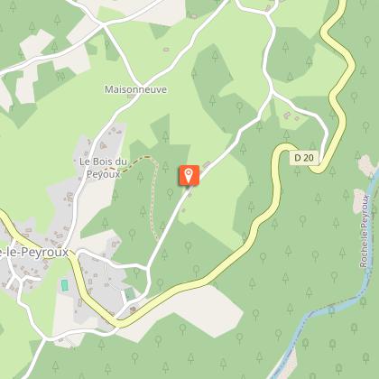
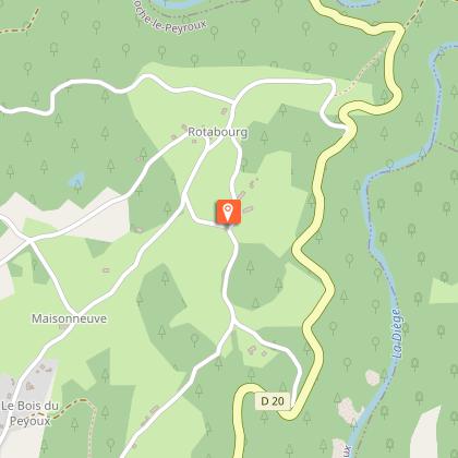
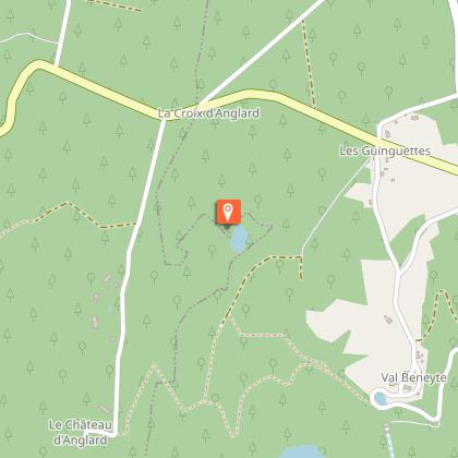
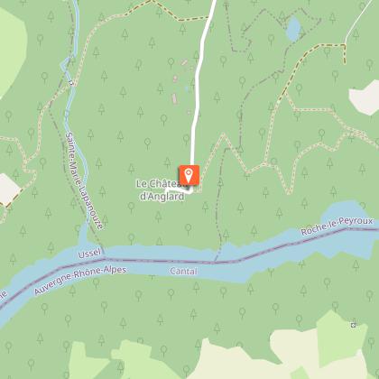
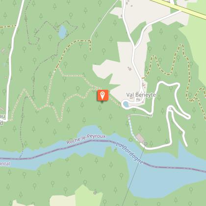
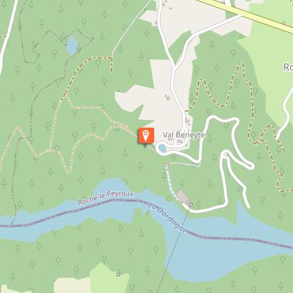
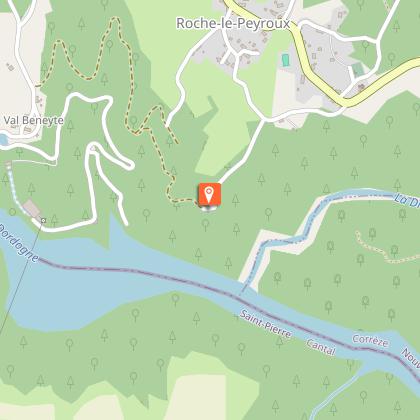
Don't forget your binoculars; you will regret it if you have the chance to observe a raptor flying over the Dordogne gorges!Park in the church car park. Go up alongside the cemetery, following the road to the Bois du Peyroux.Leave the l'Hors road on the left, go through the village of Bois de Peyroux; leave the Puy Sivadeau on your right.Follow the road to the right at the entrance to Rotabourg. Go through the village. 200 meters further on, at the crossroads, turn right then left to reach Les Chaumettes by a tarmac track.In this village, turn right, go past the well and then follow the Route des Bruyères on the left. At the crossroads go straight on. Continue straight on until you get to the D20, which you follow to the right for 100 metres.At the crossroads, follow the track on the left, which becomes a path through the undergrowth. At the pond, turn right, the path crosses a wood cutting area and joins a road. Follow it to the left, past the holiday camp.Before the gate of the château, on the left, follow a path along the ridge line high above the Dordogne. Turn right at the crossroads. Continue on the ridge to the village of Val Beynete.Turn left to go up to the village (out of the circuit: on the right, a short 50-metre round trip to the belvedere). After the last house, follow a grassy path on the right that continues along the ridge. Leave a path on the right to reach the Grézolles lookout.Continue on the road straight on to get back to the village. At the D20, turn left then right to find the starting point.
Technical Information
Altimetric profile
Starting point
Steps
Points of interest
Additional information
Advised parking
Church, Roche le Peyroux
Advice
This circuit includes a section shared with the itinerary "From Villages to Dams" marked in yellow and white. Follow the markings carefully; the two routes separate after the village of Rotabourg
Access
From Neuvic or Liginiac, follow the D20 towards Roche-le-Peyroux and Bort-les-Orgues. The church is on the left as you leave the village of Roche-Le-Peyroux.
Ambiance
As you leave the Romanesque church, there is a panoramic view of the Cantal mountains and the Sancy massif. The small country roads criss-cross the villages of Rotabourg and Les Chaumettes to lead to the château of Anglars, a sentinel erected by the Ventadour family in the 13th century (private property; cannot be visited).The atmosphere changes on the way back where small paths in the undergrowth overlook the Dordogne and lead to the viewpoints of Val Beneyte and the Grézolles (the confluence of Diège and the Dordogne).
Arrival
Church, Roche le Peyroux
Departure
Church, Roche le Peyroux
