Alert
Alerts
Hiking panorama
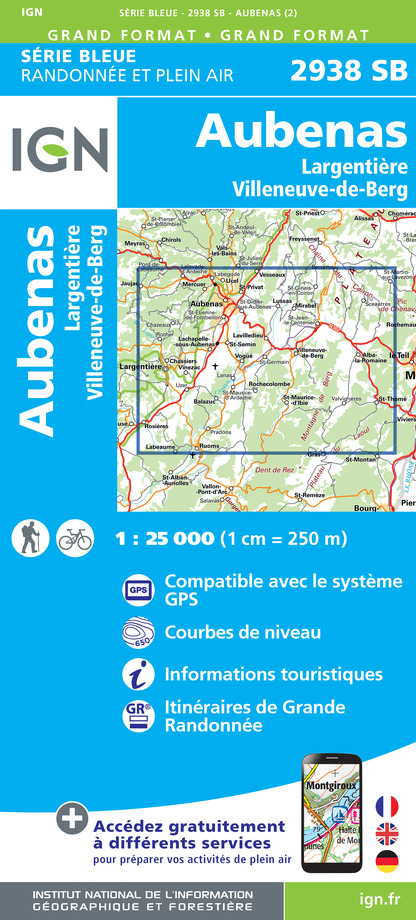
IGN cards


Description
During this walk, do not hesitate to climb to the top of La Croix de Juliau which will offer you a breathtaking view of the Coiron plateau and the Valvignères plain.
Page number 8 of the "Monts de Berg & Massif du Coiron" hiking guidebook
Free download on the website of our tourism office
Or sold in paper version with its map for 7€
Car park at the church. Take the Alba direction, going down towards the N102 to Charnier. Climb up again to the junction at
FONT NEGRE
DIRECTION: ALBA
Passing through “Serre Leroux” (altitude 400m), continue towards Alba by going down beside the small pond of Font Nègre
Steady climb through the marlstones, then the Malavas plain up to
BOURBOULET
DIRECTION: ALBA
You will walk across a prairie invaded with a multitude of blue flowers in the spring up to
LA CROIX DE JULIAU
DIRECTION: SUMMIT OF LA CROIX JULIAU
Allow one hour out and back from Bourboulet to reach the summit of La Croix de Juliau (altitude 553m).
Tradition has it that this toponym owes its origin to the passing of Julius Caesar. The etymology of Juliau does indeed point to the name or forename Julius, but really has no connection with Caesar!
Then take the St Jean le Centenier direction to reach
ARGENCE
DIRECTION: ST JEAN LE CENTENIER
by crossing the hamlet of Lablachère. Continue, passing through
THEOULE
The term théoule, from the Occitan teule : tile, means the place where tiles and pottery were fired.
Return to the village via the path in the direction of St Jean le Centenier.
Technical Information
Altimetric profile
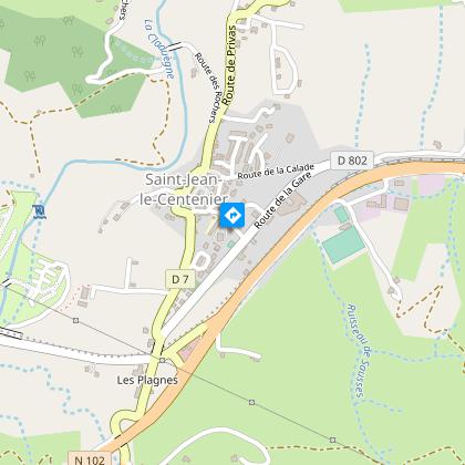
Starting point
Points of interest
Additional information
Reception conditions for animals
Animals on a leash (presence of herds and sensitive and protected flora and fauna)
Updated by
Office de Tourisme Berg et Coiron - 09/09/2024
www.berg-coiron-tourisme.com
Report a problem
Environments
In the country
Mountain view
Village 2 km away
Panoramic view
Open period
Hiking accessible all year round.
Contact
Phone : 04 75 94 07 95
Email : contact@bergetcoiron.fr
Website :
www.bergetcoiron.fr
www.berg-coiron-tourisme.com/telechargements/
Tricky passages
Easy walking level
Medium for mountain bike
Topo guides and map references
Topo guides references :
Page number 8 of the "Monts de Berg & Massif du Coiron" hiking guidebook
Free download on the website of our tourism office
Or sold in paper version with its map for 7€
Type of land
Not suitable for strollers
Location complements
Go to the hiking info panel at church square to start your hike!
Data author


