Alert
Alerts
Mougious waterfall

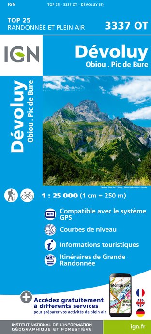
IGN cards


Description
For a few kilometers discover the natural resources of the valley of Jarjatte, a magnificent site classified by the state since 2012, for the recognition of the picturesque of this place and the work done by all the local actors for its safeguarding.
From La Jarjatte, follow the GR 93 for 400m towards La Plainie 1. From there, take a path in the woods to reach the Permafrost de Combe Obscure 2. Continue until the Pasture of Mougious 3 and its magnificent panorama, before descending to Ravine de la Chaumette 4 (attention strong slope). Then join the Cascade de Mougious 5 at 200 m. Go back to the Ravin de la Chaumette 6 and head towards La Jarjatte via the Combe Bertin 7. Take the road between Combe Bertin and La Jarjatte for 1.6 km.
Technical Information
Altimetric profile
Starting point
Additional information
Public transport
By train :Lus-la-Croix-Haute train station. OùRA multimodal route planner : www.oura.com/by Bus : Regional bus line n°31 Grenoble-Marseille (via Sisteron and Digne-les-Bains) and stop at Lus-la-Croix-Haute.Carpooling :Offer your services or book your carpooling on the regional Mov'Ici platform.
Advice
Beware in rainy weather, some technical passages can be delicate and slippery! Use the passageways to cross the fences, close the gates and barriers, stay on the marked paths.
Herd protection dogs
In the mountain pastures, the guard dogs are there to protect the herds from predators. When I hike, I adapt my behaviour by going around the herd and pausing so that the dog can identify me. Click here to see the video : c'est quoi au juste un chien de protection ?
Advised parking
Grand parking à l'entrée de la station de la Jarjatte
Access
From the E712 take the direction of Lus-la-Croix-Haute. From there take the D505 to La Jarjatte, park in the parking lot at the foot of the station.
Arrival
La Jarjatte, Lus-la-Croix-Haute
Ambiance
Take a walk along the trails that will take you to the discovery of the Permafrost de Combe Obscure permafrost and the Mougious waterfall, all with magnificent views of the highest peaks of the Drôme. This hike takes place partly in forest but also at times along a torrent.
Departure
La Jarjatte, Lus-la-Croix-Haute
