Alert

Alerts

To see around
See more
Open
Close
Show
Show
Show
Show
Show
Show
Show
Show
Show
Show
Show

Oups... It would appear that Cirkwi does not have permission to use your location.

Presentation
Description
Map
Steps
Points of interest
Ratings and reviews
See around

Le lac d'Anglas

1440Lac-d-Anglas1
Pj 35.1.
Pj 35.3.
panneau anglasPanneau jaune balisage

Description

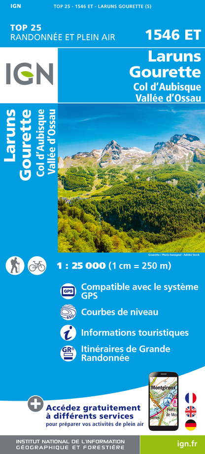
The Lac d'Anglas hike is one of the must-do itineraries starting from Gourette. It offers a varied mountain landscape where waterfalls, cliffs and a lake enhance the grandiose scenery of the high-altitude pastures you pass through.

Technical Information

Walking
Difficulty
Hard
Dist.
7.2 km
Show more

Altimetric profile

Starting point

64440   EAUX-BONNES
Lat : 42.95659Lng : -0.32874

Steps

Points of interest

Additional information

Contact

Fixed telephone : +33 5 59 05 12 17
BIT Gourette

Balisage

White and red (GR®)
Traits blanc et rouge

Typologie de l'itinéraire

Return
Hiking Route (GR®)

Durée moyenne de l'expérience

Over 4 hours

Thèmes

Natural

Data author

64440 France

Ratings and reviews

To see around
See more
Open
Close
Show
Show
Show
Show
Show
Show
Show
Show
Show
Show
Show
Caution!
We have no information on the difficulty of this circuit. You may encounter some surprises along the way. Before you go, please feel free to inquire more and take all necessary precautions. Have a good trip! 🌳🥾