Chapel walking tour in Didenheim


Description
This walk traverses a varied landscape, with the village of Didenheim, the chapel of St. Gall, the wooded Gallenhoeltzchen hill, farmland offering beautiful views, and the Ill valley. The trail begins with a steep 80m climb, then descends rapidly towards the middle, but there are several benches where you can stop for a rest. The route can be shortened to 5 km by returning to the village from point 7 (Erbland bridge).
Technical Information
Altimetric profile
Starting point
Points of interest
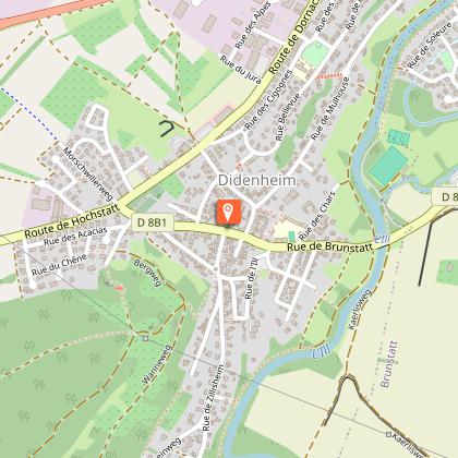
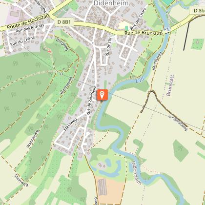
Didenheim church
Start in front of the church in Didenheim (car park 100 m in front of the town hall). As indicated on the façade, the church dates from 1758. On the corner of the right wall of the entrance is a meridian. It is a metal plate with a rod whose shadow indicates the sun's wise step at noon. It was once used to set the clock in the bell tower. To the right of the church, the tombstone of the mother and wife of Augustin Zwiller, a well-known painter from Didenheim (1850 - 1939). Enter the rue de l'Eglise.
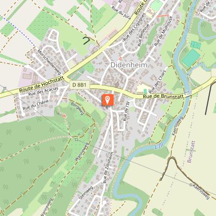
Presbytery
The presbytery (no. 1 in the rue de Morschwiller) dates from 1717, i.e. before the church was built. At that time, the church was still located on the Saint Gall hill. It was a so-called mother church which served three parishes: Didenheim, Hochstatt and Durrenguebwiler, a village which disappeared in the 15th century. The presbytery was built on the site of the former parish church at the foot of the hill, close to the mother church. Continue up the stairs to the hill.
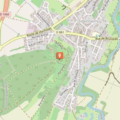
Saint-Gall Chapel
St. Gall's Chapel is located on the site of the former mother church, where a cattle and textile fair was held every year on St. Gall's Day. The first chapel was built in 1881 in accordance with a vow, destroyed in 1944 during the Liberation battles and rebuilt in 1963.
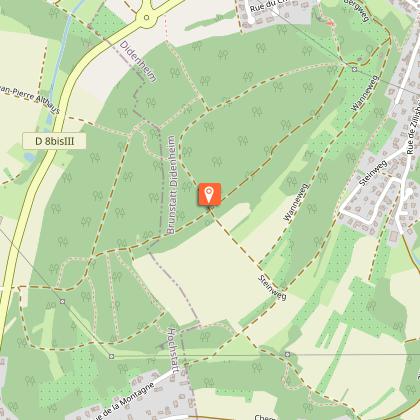
Top of the Gallenhoelzchen hill
This hill culminates at 332 m. 50 m further on, at the end of the forest, there is a beautiful view of Brunstatt on the left, Flaxlanden in the centre and Zillisheim on the right. Between these last two villages, the Geissberg hill, which was the scene, on 19 August 1914, of a bloody battle in which hundreds of people died in order to reconquer Mulhouse for the French troops (the same day as the battle of Dornach).
Cycle path
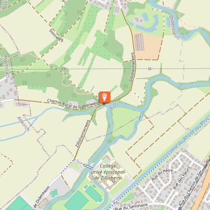
The cycle path from Zillisheim to Didenheim, which is on the left. It is also the footpath of the Ill which is marked out over 200 km from Winkel (source of the Ill) to Strasbourg (confluence with the Rhine).
The Ill river
The Ill is the main river of Alsace, 217 km long. It rises in the Alsatian Jura and flows into the Rhine shortly after Strasbourg. It is still wild here, but will be dammed up shortly afterwards for the crossing of Mulhouse.
Stele
Stele of Brigadier René Lacombe, killed in a tank on 20 November 1944 during the French advance for the liberation of Didenheim and Alsace. To get to the stele, walk 30 m back and forth across the André Erbland bridge (General Councillor of Mulhouse-Ouest from 1964 to 1988). Continue along the Ill on the left bank.
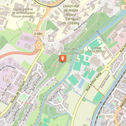
Bois des philosophes (Philosophers' woods)
This wood is one of the green lungs of Mulhouse, with walking paths and a fitness trail. Leave the banks of the Ill and fork
