Alert
Alerts
Mountain of the Audibergue


IGN cards
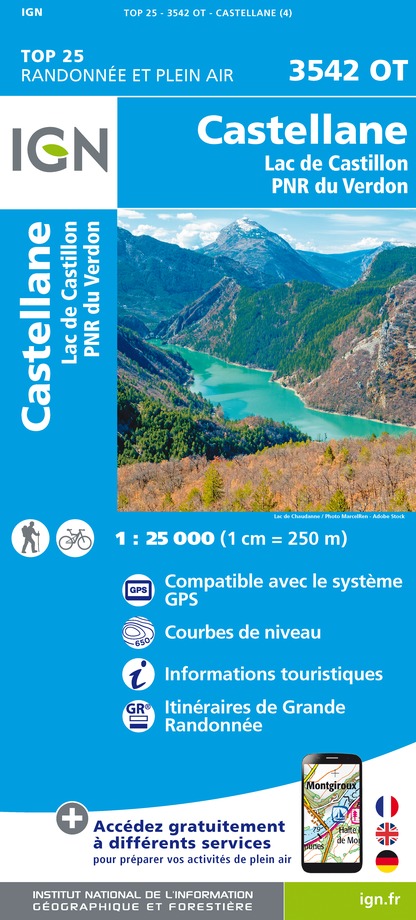
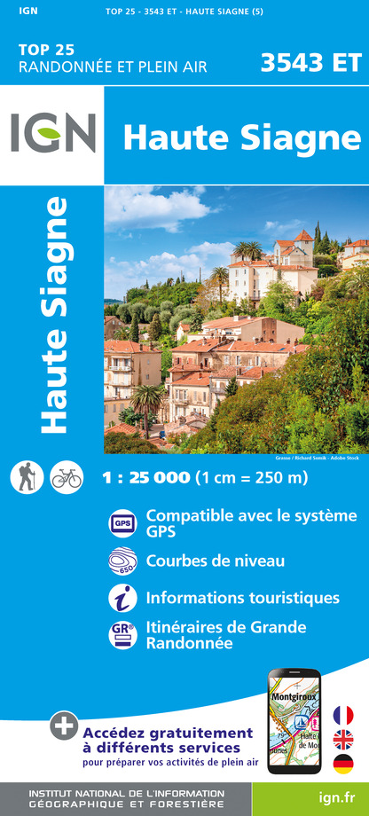







Description
Southern Bastion of the Pre-Alps, the Montagne de l'Audibergue presents itself as an interminable east-west rampart.
From the Parc de la Moulière climb up to the end of the chairlift by the green slope of the Marcassin.
1- Bypass a slope on the right and join the orientation table on the nearby ridge.
2- Cross the ridge on the trail (PR marking), to the top of the Audibergue (1,642m)
3- Go north, under the ski lifts to find the beacon 173.
4- Take the trail (PR marking) towards Parc de la Moulière and easily reach the parking lot via the 174 beacon.
Technical Information
Altimetric profile
Starting point
Points of interest
Additional information
Advised parking
Park of the Moulière
Advice
The Moulière chairlift, which is open from May to September, can facilitate climbing. After point 3: take your time, stony descent
Access
47km north of Grasse, by the RD6085, RD79, RD81 (direction of Caille), and RD281.
Ambiance
"A stunning ski resort with breathtaking panoramas on the Mercantour and the Côte d'Azur, appreciable in all seasons. " says Julien Lageat - Préalpes d'Azur RNP.
Arrival
Park of the Moulière
Departure
Park of the Moulière, Caille


