Alert
Alerts
Through Causses and Cevennes


IGN cards


Description
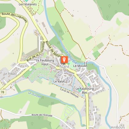
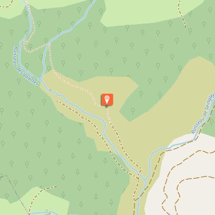
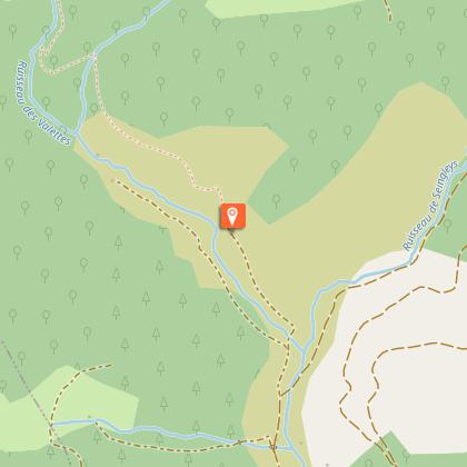
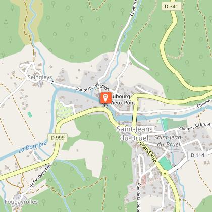
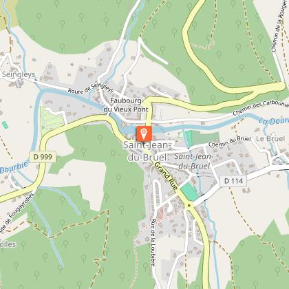
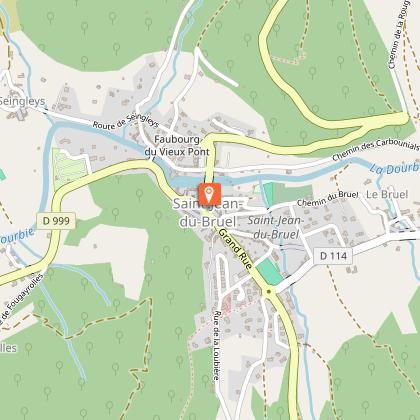
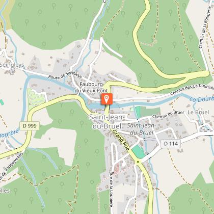
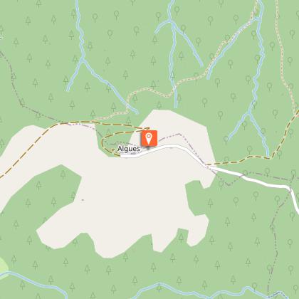
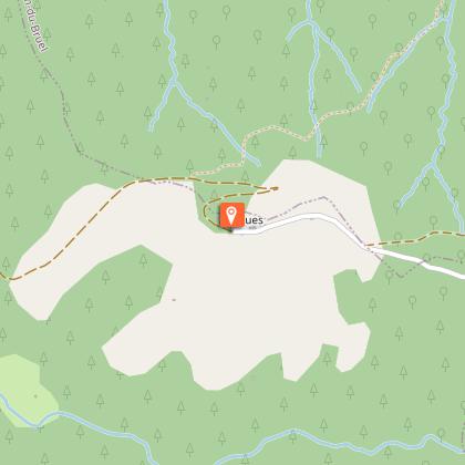
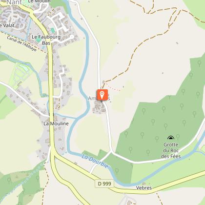
On the borders of the Grands Causses, on the edge of the Cévennes, walk the “Garden of Aveyron”: a symphony of majestic landscapes punctuated by a heritage with a remarkable character.From the Place du Claux, follow the D999 towards Saint-Jean du Bruel. After the war memorial, take the street on the left towards Ambouls. Cross the bridge of La Prade and continue on the road for 50 meters.Turn left on the trail which goes up along the horse club lands. At 1 km, at the crossroad take on the left towards Roc Nantais-Trèves.At the exit of the woods, opposite a large field, and far away the ruins of the farm of Anguiral, take on the right the path towards Œil-de-Bœuf (excavation in a rock).Oblique right, cross a field (be attentive to the marks) and take the stony path which goes down steep slope and reaches the stream of Valettes. Follow it and pass near old calamine ovens. Continue keeping right in the valley and arrive to Saint-Gleys. Cross the hamlet and continue on the road to the left towards Saint-Jean-du-Bruel. At the entrance of the village turn right and cross the old bridge.Go left to discover the center of the village, then return to the bridge. Take the road D999 towards Nant for 500m, then turn left towards Fougayrolles. Cross the hamlet and continue left towards a path which goes up to a cross. Follow right the road which leads to the ruins of Algues Castle. Possibility to go and back to the panorama.Continue on a wide dirt road which goes down to the valley and arrives to the fortified Castelnau farm. Take the D999 on left for 1,2km.Take right the road which crosses the Dourbie river on a submersible bridge. 50m after the bridge, turn left on the road and continue north.Cross the La Prade bridge and return to Nant.
Technical Information
Altimetric profile
Starting point
Steps
Points of interest
Additional information
Public transport
To find a means of transport go to Transport Aveyron.Think about carpooling and hitchhicking: Rezopouce; Aires de covoiturage
Advice
Yellow signs.Steep uphill and downhill.
Is in the midst of the park
This itinerary is located in the World Heritage zone Causses and Cévennes, mediterranean agropastoral cultural landscape.
Advised parking
Place du Claux
Access
From Millau, take the D809 towards Montpellier, then at La Cavalerie turn left on the D999 to the village of Nant.From the motorway A75:- Coming from the north, take exit 47 La Cavalerie, then take the D999 to Nant- Coming from the south, take exit 49 Le Caylar, follow the direction of La Couvertoirade and continue on the D55 to Nant.
Arrival
Place du Claux
Ambiance
At the confluence of crystal-clear rivers, the Dourbie and the Durzon, this itinerary where the Causse Bégon looks up and down the foothills of the Cévennes, reserves sumptuous panoramas of the gorges of Dourbie and Trévezel. A route marked with the history of Nant and its canals, old calamine ovens, and St-Jean du Bruel, a Cevenol enclave in Aveyron.
Departure
Place du Claux
Data author

