Tours
Activities
Places of interest
Where to eat
Where to sleep

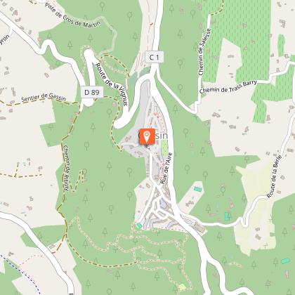
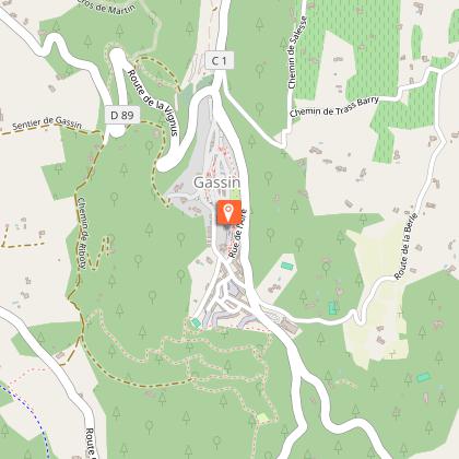
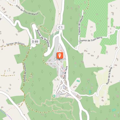
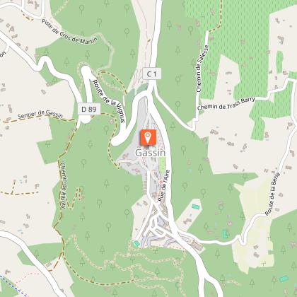
Discover Gassin, Var, in the heart of Provence-Alpes-Côte d'Azur

Are you in charge of the destination?
Nestled atop a hill, Gassin, located in the Var, Provence-Alpes-Côte d'Azur, is a true gem offering an exceptional panorama over the Gulf of Saint-Tropez and the Mediterranean. With its picturesque alleys and ancient stone houses, Gassin invites you to wander and explore. During your stay, take advantage of the beautiful hiking trails around Gassin. The coastal path, for example, offers breathtaki...See more

Walking around Gassin

See more suggestions
Hiking trails in the Gassin area.
See more suggestions
Randonnée Le Sentier de la Mer
184 m

Randonnée Le Sentier de la Mer

From the hilltop village, the path leads you to the sea, offering remarkable views of the Gulf of Saint-Tropez. You arrive at the Marines de Gassin and its shops passing near the Bourrian wineyard estate and the Stud / Polo Club. The return path is accessible to hikers, mountain bikers and riders who will appreciate the breathtaking view of the Gulf of Saint-Tropez. This beautiful airy and shaded track offers you a glimpse of the diversity of the Gassin flora (pine forest, vineyard, oaks, broom, laurels). You can enjoy the beach and swimming (supervised in season) before your return. Practical information : In summer, be sure to inform yourself before your departure that the trail is not closed because of the fire risk (information on the Var prefecture website or at the tourist office). You will find a small watch on your route that you can bypass if necessary by taking a path a little further to the right. Also be careful during hunting not to take the trail if it is blocked. Be careful when crossing country roads without a protected passage. The path allows you to join the protected multimodal track to reach Port Grimaud on your left and Saint-Tropez on your right. Course: • from Place Louis Collomp, descend towards the cemetery and go around it on the left (passage in front of the monument to Saint Joseph) by following the sign "Villevieille"; • take the path on the left (50 m) then follow the Villevieille track; • follow this track for 2.5 kilometers (you pass near the Brûlat mill and then the Heraklée villa, former property of Gunther Sachs when it conquered the heart of Brigitte Bardot); • cross the Bourrian road and find a path a few meters on your left which, after a lookout, takes you to Chemin de la Plaine, through the vineyards of the Bourrian domain (1.15 km); • arrived at the RD98a near Interhome, follow the sidewalk on your right (170 m) (Note: the La Foux shopping center is on your left about 300 m). • turn left at the roundabout towards the Marines de Gassin (180 m); • at the second roundabout, go straight past the shops of the Marines de Gassin (Bar-tabac des Marines, Tour de Pizz ', Ciao Belli; on Place Le Pitchoun, Sandrée Coiffure, the May Flower laundromat) ; • you can then continue to the beach (200 meters on the right). You will find the Marines and the port of Cogolin on your left.

1 h
4.6 km
Easy
Place Louis Collomp 83580 Gassin
Show
Footsteps of the past
2.8 km

Footsteps of the past

Learn about La Croix Valmer's rich history : from the ruins of the Roman villa at Pardigon to it's rich 19th century architectural heritage, from it's winemaking history to the coastal paths once travelled by customs officers. At the roundabout in front of the Tourist Office, take the underpass and walk down Boulevard Tabarin towards “Tabarin Vergeron Gigaro”. Turn left onto Boulevard des Villas. Just before the bridge, turn right. At the intersection, take the pedestrian path to the left towards “Les Plages”. Walk alongside the vineyards. At the pedestrian crossing, cross the road and turn right. After the bus stop, walk down the second road on your left, Allée de la Bouillabaisse. Before reaching the holiday residence VVL Vitry, take the path on your left. Follow the yellow signs “Sentier du Littoral”. Walk down the steps and take the path on your right all the way to the Plage du Débarquement. Walk past the shops and restaurants and follow the yellow pann. Once you have reached the roundabout, turn right towards “Gigaro”. At the Parking de la Ricarde, turn left towards “Le village”, leaving "Allée du Bois du Manège" on your right. At the stream, cross it and take the path between the vineyards. Turn left to cross a stream a second time. Take an immediate right and walk up the road. At the junction, turn right. Walk alongside the vineyards on your right all the way to the car park of Les 3 Îles. At the end of the car park, take "Rue de l’Eglise", in front of you. At the Church, walk up the road on your left. At the top of the road, turn left again and walk up "Boulevard Tabarin" towards the village.

2 h
7.2 km
Medium
287 Rue Louis Martin 83420 La Croix-Valmer
Show
Rivages
2.8 km

Rivages

A hike along the coastal path and it's beaches : Débarquement, Héraclée, Sylvabelle and the Vergeron. Idyllic settings, vineyards, architectural heritage. At the Croix traffic circle, opposite the Tourist Office, take the underpass down Boulevard Tabarin, direction “Tabarin, Vergeron, Gigaro”. Turn right on Rue de l'Eglise, then take the next right. At the crossroads, take the footpath opposite on the right, signposted “Les Plages”. Follow the vines on your left. At the “patte d'oie”, take the “voie verte” on your left. After the vineyards, you can take the “Parcours de Santé” (fitness trail) and the “Sentier Botanique” (botanical trail) on your right, or continue straight ahead (the two paths merge). Cross the stream on your left, then take the path on the right between the vines. Cross the other stream and take the track in front of you. At the end of the track, cross the road and turn right. At the traffic circle, turn left to reach the D-Day beach. Follow the yellow markings and “Sentier du Littoral” signs. Take the stairs on the left at the end of the beach. Pass the Bouillabaisse, Vergeron and Sylvabelle beaches. At Plage d'Héraclée, take Impasse d'Héraclée. Follow the blue markings. At the end of the impasse, turn left onto Boulevard du Littoral. Follow the Croisien vineyard. Follow the pedestrian lane. At the Sylvabelle traffic circle, continue straight ahead. At the next junction, turn right onto Boulevard Tabarin. Follow the pedestrian lane. Turn right onto Rue des Tennis de Tabarin. Then turn left onto Boulevard des Villas. Continue straight on until you reach the tourism office.

4 h
11 km
Medium
287 Rue Louis Martin 83420 La Croix-Valmer
Show

What to do in Gassin

See more suggestions
Find the best activities in Gassin and book easily online.
See more suggestions

What to visit in Gassin

See more suggestions
Savor the local cuisine of Gassin.
See more suggestions
The Androuno (the narrowest street of the world)
46 m

The Androuno (the narrowest street of the world)

The Androuno is the narrowest street of the World : at its narrowest point, tt measures 29 centimeters wide (11.41 inches), letting only one person pass at a time! It presents all the picturesque charm of the perched village of Gassin. Gassin has the "smallest street in the world", the Androuno. Its name comes from the Latin 'andron', derived from the Greek ἀνδρών, men. He designated among the Greeks a part of the dwellings reserved for men. For Vitruvius and Pliny the Younger, the name characterized a passage between two houses or between two parts of the same house. There are many 'androuno' in Provence. The term has long been attested and has appeared in glossaries and dictionaries since the 18th century. Frédéric Mistral, in his Tresor dòu Felibrige, gives the definition of this word: "alley", "cul-de-sac", "void that separates two houses", or "tower of the ladder", which can also evoke a reduced , a hiding place or a latrine. The androuno can therefore be a narrow and uninviting alley, and therefore reserved for men. This is the theory mentioned by Canon François Durand. According to Claude-François Achard, the androuno is an "alleyway, a place to hide." Consistent with the architecture of Mediterranean villages, these "covered passages provide effective ramparts against the assaults of the mistral, the summer heat wave, the sleet of spring or the snow showers". Today, several more or less fanciful functions are attributed to it: use in counting, or even the selection according to their size, of sheep, allowing the flow of water during severe thunderstorms or preventing the arrival of a man in arms. The street has been recognized as the narrowest in the world by National Geographic, TF1, Ouest France, France 3 among others!

Androuno 83580 Gassin
Show
Medieval village of Gassin
109 m

Medieval village of Gassin

The first mentions of the village date back to 1190 or 1234. The tower of the medieval castle which remains testifies to this past like the rue de la Tasco. The village subsequently expanded inside the castle courtyard and then into the suburbs. Listed and classified site Most Beautiful Villages of France, the hilltop village of Gassin was long called "La Vigie du Golfe". By its position, it was possible from this height to monitor the Gulf of Saint-Tropez - then Gulf of Grimaud - and the Bay of Cavalaire to the Islands of Hyères. Historical testimonies abound from the medieval past: the Saracen door, opened in the 13th-14th century, the remains of a hinge, or the doors of the long street, the oldest of which dates from 1422. Rue de la Tasco is the oldest street in the village. It led to the fort of Gassin, of which there remains a one-storey tower, with the bumpy stones characteristic of medieval military architecture in Provence. Gassin appears - the village is then called Garcin - in several cartularies of the Middle Ages: that of La Verne (1190) and that of the Saint-Victor abbey in Marseille (1234-1235). Previously, there was a fortified villa in Bourrian and a habitat in Ville Vieille. Despite the presence of a Templar passage, there is nothing to indicate that there was such an establishment. Ancient authors have imagined that the square bell tower of the village church, on the top of the hill overlooking the Gulf of Saint-Tropez, was a Templar lookout. The habitat in Gassin remains long perched because insecurity reigns for several centuries. The raids of the Saracens continue late: the pirates leave behind the dead and reduce those who are captured in slavery. The kidnapping becomes a source of income for the pirates who sometimes allow the redemption of the captives: several families from Gassin are thus reunited, sometimes after several years of captivity in North Africa. This is the case of one of the two Magnan brothers, kidnapped and detained in Bône. At the end of the Middle Ages, Saint-Tropez was detached from the seigneury of Gassin. The 1516 cadastre shows a fortified village built around a single street (today's rue de la Tasco), including the castle and a church, surrounded by a suburb. During the following centuries, the village gradually extended towards the west, in the Longue, Tubassière, Rollet de Garcin, Moulin à Huile, and Androuno streets. The village continues to grow with, in particular, appearing on the cadastre of 1728, the hospital to the north and the forge to the south. The fortified enclosure then has two entrances, one to the north, through the New Portal, the other to the west with the Grand Portal. In the XIXth century, the castral borough almost reached its current composition.

20, place Léon Martel Montée Saint-Joseph 83580 Gassin
Show
Monument à Saint-Joseph
403 m

Monument à Saint-Joseph

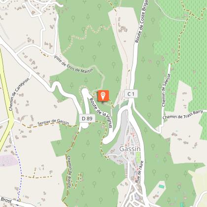
In front of the Gassin cemetery, near the crossroads between the Coste Brigade road and the Vignus road, at the entrance of the village, stands the enigmatic monument to Saint Joseph. Erected in 1876 on a rock, the monument was isolated at the time in the garrigue. It has an octagonal plan of approximately 1 meter in diameter. The main elements are shale, rubble stone, limestone and cut stone. The reasons for its construction and its vocation are unknown. It contains the names of 16 people, starting with the mayor and the parish priest of the time of its creation (Ernest Tollon, Joseph Berger, Gautier Tropez, ...). It is probably the donors who allowed its construction, but no document has been found on this subject. Fifteen years later, the cemetery was created in the immediate vicinity of the monument. The monument was created by the sculptor Fouque. It has several floors. In the upper part, there is a sculpture in the lap of San Giuseppe carrying the Child Jesus. Below, separated by a Corinthian colonnade, several spaces appear. The first is the symbol of fellow workers: the compass and the square. The second is a sundial, with an inscription in Latin. The third brings the year of construction: 1876 and the fourth its vocation: "monument to San Giuseppe". The other spaces include medallions representing the main monuments of Gassin: the Saracen gate, the chapel of Notre-Dame de Consolation, the source of the fairies, namely the Aratatane, and the church with its bell tower and presbytery.

Route de Coste Brigade 83580 Gassin
Show
Windmill Brûlat
710 m

Windmill Brûlat

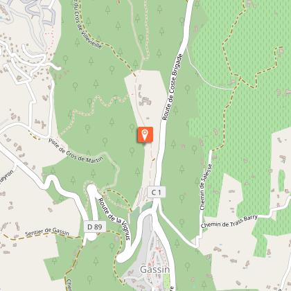
The moulin Brûlat (The mill of Brûlat) is located on the path of Villevieille, on the road which connected the old and the new location of Gassin. In the middle of garrigue, it hosts a picnic area with a magnificent sight on the gulf of Saint-Tropez. The first known mills in Gassin were the work of the Romans: these were hand mills. Only archaeological discoveries inform us on this point. In the centuries that followed, hydraulic mills were established, but in this region of Provence without significant rivers and where periods of drought are long, their yield was low and irregular. The expansion of wind turbines in the Middle Ages was a revolution. Sites like this, cresting north-south, were used to make the most of the winds: the Mistral and the East wind. The Brûlât mill enabled the village community to grind wheat and obtain an essential element of life at that time: flour. Several other windmills were built: in Saint-Martin, in Bestagne and in Château Bertaud in particular. The Brûlât mill is characteristic of the mills of Provence, with however a diameter slightly lower than the average (5.8 m). It still has its barrel, made of local stone masonry. The wall is about 1 meter thick at the base and 80 at the top. The partially collapsed interior vault is also made of stone. A staircase starts to the right of the front door; it allowed to reach the floor where the millstone was. The brick frames have disappeared, as have the exterior plasters. The toponymy recalls the importance of the mills in the past: Moulin Brûlat, de Bestagne, de Verdagne, Patty, Aire du Moulin vieux, Le Moulin, Les Mollins, lo Molin Aurier, Lo Molin Rodier, le Mollin d'eau, Lo Molin dels Benes … The village also housed blood mills, powered by animal power and used for olive oil. At the beginning of the 19th century, the millstones used were manufactured far from the Gulf of Saint-Tropez and arrived via Marseille. There were then three windmills in operation at Gassin, owned by Mademoiselle Castelanne for one and by Messrs Garachon and Meyriès for the other two. The latter was also the owner of one of the town's three water mills located on the Bourrian. These water mills only operated for a few months a year when this river was heavily supplied by the rains. In 1850, three mills operated under the direction of the three millers who owned Gassin, Messrs Bonnard, Héraud and Rimbaud, employing a total of 5 people. The rise of industrial flour mills (two establishments with steam engines were created in Cogolin and La Môle and in the 20th century two others in Grimaud) sounded the death knell for the Gassin mills and, in the second half of the 19th century, they ceased to function. The origin of the name Brûlat is not known: Brûlat is a family name attested in Provence, but not in the Gulf before the 20th century, in a very isolated way; the name could derive from the clearing of this land or from a fire that may have occurred there.

Chemin de Villevieille 83580 Gassin
Show

Where to eat in Gassin

See more suggestions
Food enthusiasts will love Gassin's restaurants.
See more suggestions

Where to sleep in Gassin

See more suggestions
Find the perfect lodging for your visit to Gassin.
See more suggestions
Caution!
We have no information on the difficulty of this circuit. You may encounter some surprises along the way. Before you go, please feel free to inquire more and take all necessary precautions. Have a good trip! 🌳🥾