Tours
Activities
Places of interest
Where to eat
Where to sleep

Discover Saint-symphorien-d'ozon, jewel of Rhône valley

Are you in charge of the destination?
Nestled in the heart of Rhône, Saint-symphorien-d'ozon is a must-visit destination for nature lovers and culture enthusiasts. This charming town is surrounded by breathtaking landscapes that offer a wide range of outdoor activities. Wander through the hiking trails that wind through the surrounding hills and valleys, or rent a bike to explore the scenic cycling paths.

History buffs will enjoy the...
See more

Walking around Saint-symphorien-d'ozon

See more suggestions
Explore the parks and paths of Saint-symphorien-d'ozon.
See more suggestions
The Balmes Viennoises
6.8 km

The Balmes Viennoises

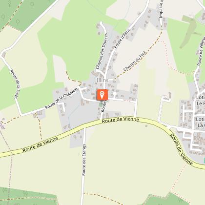
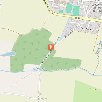
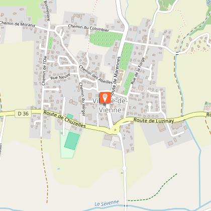
Circuit that lets you discover the château and medieval chapel of Illins, as well as the "Colombier" pear brandy distillery, while offering views of the Alps and Mont Blanc. From the "Villette de Vienne" starting sign, turn left into Rue des Serventières. At the post "Villette de Vienne", follow Chuzelle on the left to reach "Cugnet" and continue left until the "Morand" post. Turn right towards "Bonnetière". At the crossroads of Chemin des Vignes, take the path on the left. Follow it until you reach a road and follow it to the left until you reach the "Bonnetière" sign. From there, follow right until the "Taillis de Mure" post. Continue opposite on the trail to "Marennes", cross the D150A. Take the track in front of you to reach a small road, turn left, pass the "Bois des Fauries" post and continue to the "Le coin" post. From there, turn right towards "Bois de Tholomé". Pass the post and continue towards "La Platière". When you reach the houses, turn left then right at the crossroads. When you arrive at Villeneuve, go straight through the hamlet and turn right into the dead end. At the "Illins" post, turn right towards Villette de Vienne. Pass through the hamlet on the left then, at the chapel, turn right. Pass through the village and stay on the road until you reach the château farm up on the heights. From there, continue left on the trail past Château d'Illins before descending to the "Les Brigands" post. Continue until the "Cugnet" post and return to the starting point, by the outward journey route.

4 h
13 km
Easy
38200 Villette-de-Vienne
Show
Stroll through the historical centre of Vienne
13 km

Stroll through the historical centre of Vienne

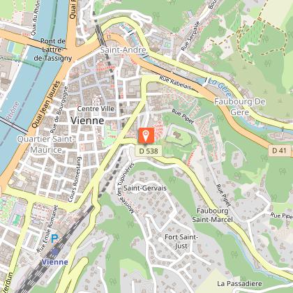
This walk in the historical centre of Vienne lets you discover the town’s main sites. Passing along the Pipet belvedere involves a good climb, but offers a splendid view of the town, the Rhône Valley and the Pilat. 1- From the station, take Cours Brillier, which joins the Rhône River, on the left walkway, passing in front of the Post Office. When you reach Cours de Verdun, Place des Allobroges, turn left and cross the median strip diagonally to enter the public garden. In front of you is an imposing statue (Michel Servet - 1515/1553). Go round to the left to see a particularly well-preserved part of the Roman road. Exit the public garden through the same gate, to return to Cours Brillier and cross to take the narrow Rue Boson opposite, which leads to the foot of the stairs of the Cathedral of Saint-Maurice. Take time to climb the steps and enter this imposing monument. The interior is amazing as the sparse decoration contrasts with the sophistication of the building. Exit the cathedral, then cross Rue Boson and head towards the Rhône, via Place Saint-Maurice. Cross the river on the pedestrian bridge that leads to Sainte-Colombe. At the end of the footbridge, take the steps on the left that lead to Quai d'Herbouville and continue on the left (North). Pass the Tour des Valois. A little further on, take the pedestrian ramp that goes up on the left with the sailing stadium on the right. Go around it to reach a large parking area. Head towards the middle of its northern side, at the foot of an overhanging track. 2- Pass under the road via a pedestrian tunnel. At the exit, immediately go up the steps on the right. Take the time to look at the Gallo-Roman site on the left. Opposite, the Gallo-Roman Museum of Saint-Romain-en-Gal is worth a visit (especially with children). At the museum, cross the road to change pavements and then cross the river again. At the crossroads, continue to the right and very quickly take the steps that go down to the right towards the river. Taking this underpass, you can cross the crossroads in complete safety from the traffic. Come out at Place du Jeu de Paume, in front of Saint-André-le-Bas Church (museum and cloister). Go up the steps on the left and walk around the church. Once you reach a small square, take Rue des Clercs (signposted "Temple d’Auguste et de Livie"). Behind the facades of the buildings hide some splendid Renaissance courtyards, now protected by digicodes. 3- Enter the small square of Général de Gaulle, almost entirely occupied by the beautiful Temple of Augustus and Livia. Take the time to walk around this square and view Vienne’s old court, a bookshop which, if you’re a reader, is sure to impress, as well as several café terraces very popular with the locals. Once your tour of the square is completed, go back to Rue de la Chaîne, perpendicular to Rue des Clercs (heading East). Come out onto Place de l'Hôtel de Ville. Pass it and continue straight until you reach a T-junction: turn right into Rue des Orfèvres. Look across the street at what must be one of the oldest houses in Vienne (half-timbered). Go past it to reach Place du Pilori, which is occupied by numerous Roman remains. Turn left towards the Vienne Theatre. It’s a small Italian-style theatre, rather ordinary on the outside, but delightful on the inside. At the entrance to the theatre, turn right and then left to get to Rue Victor Hugo. Cross it to take Montée Saint-Marcel opposite. Pass Rue des Célestes to go up a short staircase on the left a little further on, which leads to Rue du Cirque. 4- Take it to get to the ancient theatre, which you can see from the street; except in summer, when the stage set up for the Jazz à Vienne festival blocks the view. At the stop sign, at the end of the street, turn right onto Rue de Pipet. It's a tough climb, but you just have to take your time... On the left, the immense Pipet cemetery. In the middle of the hill, there’s a bench to take a break. Take the first street on your right (sign for "Belvédère de Pipet"). 5- Arriving at the Esplanade de Pipet, admire the view of Vienne and the Rhône Valley, particularly rich and interesting. Find the Cathedral, the Valois Tower, the Museum, the unmissable Château de la Bâtie and, just in front, the gigantic Ancient Theatre. Further on, to the North-West, on the right, the Monts du Lyonnais, and to the South, the Pilat foothills. Retrace your steps to Rue de Pipet, which you take on the right. Very quickly, take, on the right again, Chemin des Amoureux (beware, you might miss it, which would be a shame...). It goes up a little at the start, to very quickly head down sharply to Montée Saint-Marcel, which you cross, to take Montée des Tupinières, opposite. Follow it to take, after a while, on the right again, Montée Réaumur, which you then go down... A little further on, follow it to the left, then left again, to arrive at Montée de Coupe Jarret, which you take on the right. Come out onto Rue Victor Hugo (traffic lights) and cross it to take the 2nd street on the right (Rue Peyron). 6- Come out onto Place de Miremont. Turn left to take another left onto Cours Romestang, with its central tree-lined avenue, which leads to the station and the starting point.

2 h
5.8 km
Easy
Gare SNCF 38200 Vienne
Show
The valley of gardens
14 km

The valley of gardens

Track goes sometimes underwoods and sometimes through a geen landscape 1- From the car park, take the path along the stadium. Pass through the Combaudon wood (follow the markings) and come out by the buildings. On the right, go up some steps, then turn left to reach a park; cross it and reach a traffic island. Go to the château car park and the post "Le Château". 2- At the bottom of the car park, take a path which goes down towards "Pin Rond". Cross the D41b and take the path that fords the Suze stream. Go up the other side and, via a farm road, reach the hamlet of Chez Meunier; Pass through it, ignoring the accesses on both sides. After an intersection and right turn, reach a trailhead on the left. 3- Leave the road to go along the track through fields. Cross a small road, continuing ahead. Reach the "Pin Rond" junction. 4- Go down by the road and cross the D538. Continue along the road that joins the Suze. After the bridge, turn right onto Chemin de la Suze (about 1.6 km) and go up to the "Le Coin" fork. > Variant (10.5 km loop, yellow markings). 5- Turn left, Chemin des Frênes, cross the D167 road and pass a farm. Continue on the path on the right and reach the hamlet of Le Coin. Take the road that bends to the left and reach the post "La Cure". 6- Follow the right-hand road (Chemin du Ferrat) to the end. Continue on a trail that climbs to the Le Télégraphe. 7- In the hamlet, turn right into Chemin du Château d'Eau. Cross the D46 and turn right on Route de Vossère, which reaches the hamlet. 8- Continue on the road which goes past orchards. 9- At the beginning of a bend to the left, leave the road for a path to the right which goes down to a housing estate. Continue straight ahead until you reach the D538; cross it, then take an alley on the left. Walk along a wall. 10- At an electricity post, turn right on a road which leads to a path at an old farm. Find a road that heads down and makes a wide turn. Before a bridge, take the dead end on the right. It leads to a track and back to the stadium. Beware of the various crossings of busy roads, especially the RD502 between circuits no.4 and no.7. Things to see: the Tower of Montléans and the cup stone.

4 h
10 km
Easy
Bérardier Carrefour : Grand Champ 38200 Jardin
Show
Chestnut and White Queen Trail
14 km

Chestnut and White Queen Trail

Solve the mystery of the "White Queen" thanks to thematic boards along the track and through the woods of Chapulay and Devey. A strategic site between Savoy and Dauphiné since the Middle Ages, Château de Septème, its ramparts and gardens invite you on a historical walk from Antiquity to the Renaissance. This important medieval fortress has been in the same family for 250 years and still remains a great family home. More than 30 peacocks roam freely in the park and French-style gardens. From Vienne, head for Pont-évêque via the D502, then turn left onto the D75 to Septème. Departure from Septème village centre. Follow the Rue des Petits-Potaches, then turn left onto Chemin Cressonnières. At Le Moyer, pass the houses until the "Rambotière" post, then continue on the thematic path of the Reine Blanche (White Queen), through Bois de Chapulay (wood). At the end of the path, turn left, cross a road and continue straight ahead. Before reaching the main road, take the path on the right, then left on a dirt road. Cross the RD38 and go opposite towards "Laveyssin" then "Le Meillou". Turn left onto Route des Mitoyens and left again onto Chemin de la Plagne. At the end of the road, take Route des Remparts on your left. Turn right onto a dirt track to the road. At the next crossroads, go down the path to the left. At the post "Le Château", go along the château’s enclosure, then, after 100 m, you’ll reach the beginning of a path that’s not very obviously marked. Turn right onto the path which is very steep in places. At the crossroads, take the path to the wash house opposite, walk along the Vega stream and return to the start. Thematic trail of the Reine Blanche (White Queen): start from the picnic area of Bois de Chapulay (wood), 1.5 km south of Septème by the D38 (18 thematic markers on the animal and plant world).

4 h
9.6 km
Easy
10 Place Cécillon du Perrier 38780 Septème
Show
Vineyard path in Ampuis
16 km

Vineyard path in Ampuis

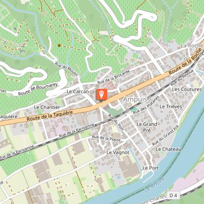
This walk takes you through the prestigious vineyards of Côte-Rôtie overlooking the majestic Rhône River. Go down the road towards Tartaras, and after 100 metres, take the dirt road on the left. Cross the brook and then the valley. Go up the path on the left to reach the Tartaras plateau. At the hamlet of Tartaras, take the municipal road on the left. Go downhill for 1 km and take the dead-end road. At the end of the paved section, stop to enjoy the hillsides, village, Rhône and the market gardening area. Then, take the dirt road on the left, and go down to the heart of one of the oldest and most prestigious vineyards in France. The path reaches a restored building: it's the Mill. Here, the Fongeant and Reynard streams become one. Follow the path and the stream in parallel to the D 386 road, then cross the square in front of the church. Return to the stream and take Rue du Port straight ahead to the Rhône. Here, every first Sunday and Monday of September, you can applaud the jousters and their Lyon or Givordine combat. On the left, go up the dead end by the port, continuing via Petite Rue du Port. Turn right and pass in front of the château, by Rue du Grand Pré. At the junction with Rue des Coutures, turn left onto Rue du Trièves. Take the underpass to cross the railway tracks. Then go up Impasse du Trièves to the D 386 road. Cross it and take Rue de Ritolas, opposite. At the crossroads, Rue du Jarre and Route de la Brocarde, take the dirt road opposite. Go around the house and you’ll find Coursière de Ritolas on your left. Up to the middle of the hill, the path is dirt and then tarred. Go straight up the municipal road for 2.5 km, and cross the hamlets of Ritolas and Giraud before arriving at the car park.

3 h
6.9 km
Easy
Parking du Giraud au croisement de la RD45 et de la route de Tartaras 69420 Ampuis
Show

What to do in Saint-symphorien-d'ozon

See more suggestions
Relax and have fun with the available activities in Saint-symphorien-d'ozon.
See more suggestions
Guided Tour by Electric Bike with Food Tasting
14 km

Guided Tour by Electric Bike with Food Tasting

Discover the Canuts' area of Lyon as well as its city centre. Your guide will tell you all about these historic neighbourhoods, then treat you to some local specialities. Your electric bike will make this city tour completely effortless! THIS PLEASANT BIKE RIDE THROUGH LYON IS A PERFECT CHANCE TO DISCOVER WHERE THE CANUT SILK WORKERS LIVED! Along with your guide you will effortlessly cycle up the Croix-Rousse hill on your electric bike. Once you reach the top, you will be able to enjoy breathtaking panoramic views over the city. Pedal a little further to come across the famous traboules, the secret passages that were historically used by the silk workers (canuts) to get to the centre of Lyon.  Throughout the tour your guide will tell you all about the unusual history of this neighbourhood which was the stage of several historical strikes held by the silk workers. Having explored the Croix-Rousse hill, you will head back towards Vieux Lyon, where you will be able to admire the typical Lyonnais architecture, before reaching the Presqu'île. Your tour will end along the banks of the Rhône, a calm and peaceful area where you can admire Lyon's barges and the Presqu'île. Let yourself be swept away by the historic charm of the Gauls' capital city! During this two-and-a-half-hour tour you will also get to sample some delicious local specialities! Make the most of this bike tour through the heart of Lyon to discover the history of the city while tasting some of its famous local specialities!

Book from 50 EURBook
Show

What to visit in Saint-symphorien-d'ozon

See more suggestions
Learn the history of Saint-symphorien-d'ozon through its museums.
See more suggestions
Temple of Augustus and Livia
13 km

Temple of Augustus and Livia

The Vienne forum temple was built in about 20-10 BC and was dedicated to the cult of Rome and Augustus. It can be compared to the Maison Carrée in Nîmes. The temple owes its survival to a later transformation into a church. This is an example of the transfer to a provincial Gallo-Roman city of the model of a temple raised on a podium, with Roman Corinthian order decoration. Only the rear part is generally thought to have been built early in the reign of Emperor Augustus, in about 20-10 BC. The architectural and decorative variations on the cornice and the capitals, for example, suggest another, later building project on the monument in about 40 AD. On the eastern side, the frieze and the architrave are engraved with moveable letters in a series of inscriptions. The oldest is a dedication to "Rome and to Augustus Caesar, son of the divine (Julius Caesar)". The two combined subjects of veneration (Rome and the Emperor Augustus), along with Augustus' deified wife, Livia, were an essential political and religious element in integrating local urban populations. The monument stood on a platform looking out over the banks of the Rhone (to the west) and near a projecting rock (below the law court today). Colonnaded porticoes set apart a sacred area around the temple. It was discovered early on during the excavations. The forum stretched out towards the east with its limit set by a public building featuring the two arcades that can be seen in the Cybèle garden. The forum was a huge, enclosed and monumental public structure. Through its majestic, colonnaded architecture it expressed the civic values or administrative functions of the Gallo-Roman city.

Place Charles de Gaulle 38200 Vienne
Show

Where to eat in Saint-symphorien-d'ozon

See more suggestions
The cuisine of Saint-symphorien-d'ozon is a must-try.
See more suggestions

Where to sleep in Saint-symphorien-d'ozon

See more suggestions
Explore hostels and hotels in Saint-symphorien-d'ozon.
See more suggestions
Caution!
We have no information on the difficulty of this circuit. You may encounter some surprises along the way. Before you go, please feel free to inquire more and take all necessary precautions. Have a good trip! 🌳🥾