Tours
Activities
Places of interest
Where to eat
Where to sleep

Discovering Valjouffrey, Isère, Rhône-Alpes

Are you in charge of the destination?
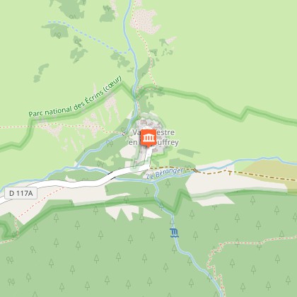
Nestled in the heart of the Oisans massif in the Isère department, Valjouffrey is a hidden gem in the Rhône-Alpes region where nature reigns supreme. For hiking enthusiasts, the numerous trails around Valjouffrey offer unforgettable walks. The iconic GR54, which crosses the Écrins National Park, passes through this charming village, allowing for the discovery of spectacular alpine landscapes.

For...
See more

Walking around Valjouffrey

See more suggestions
Discover the nature of Valjouffrey on foot.
See more suggestions
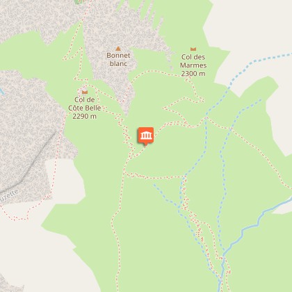
Hiking - Col du Vallon du lac de la Muzelle to lac Lauvitel
9.8 km

Hiking - Col du Vallon du lac de la Muzelle to lac Lauvitel

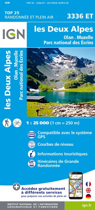
The 2 best hikes in the Vénéon Valley through a beautiful mountain pass overlooking an unavoidable view over the valley! Hiking with some delicate passages. Please note: this site is located in the heart of a French National Park and is subject to specific regulations. This is an exceptional area, and as such is subject to specific regulations. We invite you to adopt the right reflexes when you come to protect these treasures. TECHNICAL INFORMATION : Start: Alleau Difference in altitude: 1597 m Round trip duration: 9h Distance: 16 km Level : Difficult TOPO AND MAP : OBP map n°5 (Oisans au Bout des Pieds) IGN TOP 25 map n°3336 ET ROUTE : From l'Alleau, cross the hamlet towards "Lac de la Muzelle". [Allow 4 hours to reach the refuge at 2130m]. To reach the fork leading to the pass, go around the lake to the right, cross the lawn and reach the start of the path in the scree (signposted Col du Vallon). The ascent path is nearby. [Allow 1h30 from the refuge de la Muzelle]. From the col, you'll have a magnificent view of the surrounding area. Start the descent towards Lac du Lauvitel, keeping to the left. After a long series of switchbacks, you'll reach a characteristic rocky crest, with a fine view over the lake. From here, you have to cross a large ravine on the right (in wet weather, crossing a slab can be dangerous, and crossing the béquet can be impressive). The path climbs up a little (10 mins) before leading to the mountain pastures above the lake (not recommended in wet weather) [allow around 2 hrs for the descent to the lake]. Then descend to La Danchère [1h30 from the lake] and take the GR on the left bank of the Vénéon to reach the starting point of the hike. IMPORTANT: The GR 54 traverse between the Col du Vallon (2531 m) and Lac Lauvitel (1500 m) has been reopened since June 15, 2015.

9 h
5.2 km
Medium
Les Deux Alpes 38520 Venosc
Show

What to do in Valjouffrey

See more suggestions
Book your activities in Valjouffrey now and get ready for adventure.
See more suggestions

What to visit in Valjouffrey

See more suggestions
Take a boat tour around Valjouffrey.
See more suggestions

Where to eat in Valjouffrey

See more suggestions
Explore the culinary traditions of Valjouffrey.
See more suggestions

Where to sleep in Valjouffrey

See more suggestions
Discover available accommodations around Valjouffrey.
See more suggestions
Mountain hut l'Alpe du Pin
14 km

Mountain hut l'Alpe du Pin

The refuge is set on a magnificent belvedere, so you'll enjoy a gentle hike through unspoilt countryside. Around the refuge you'll find many activities such as hiking (tour du grand Cond, lac de la Mariande, lac du Salude, col de la Mariande...), mountaineering (tête de Lauranoure, col de la haute pisse...) and climbing (2 big routes in the pierroux, 3 routes around the Froide Pisse waterfall). Built in 1947, the refuge has retained the modesty of its origins over the decades, while reasonably adapting its comfort to today's requirements. In 2019, installation of a solar cooker Here, everything is homemade with local and seasonal products, some of which are organic. Oisans honey from Ecrin de Miel, Goodwin beers from Bourg-d'Oisans, meat and charcuterie from Ferme du Rochail, cheeses from Villard-Reculas and Ornon, flour from Trieves, eggs from Nord-Isere... Enjoy croziflette, donkey ears, blueberry tart and chocolate fondant. Various snacks available at all times. Half-board and picnics available. If you're planning to eat in a refuge, or even ask for a picnic, it's best to make a reservation in advance. The refuges have limited stocks, and in any case they are sized according to their capacity... While bivouacs are tolerated in the vicinity of the refuges (check with the wardens), campers are not counted in the stocks. Remember to call the wardens to book your meal if you wish to take advantage of the comfort of this service. TECHNICAL INFORMATION : Departure: Les Granges Difference in altitude: 535m Distance: 2.8 km Time : 1h45 ITINERARY: - From the hamlet of Les Granges, below Saint-Christophe-en-Oisans, descend to the Vénéon torrent. Then take the path that twists and turns at the foot of the Pisse waterfall to the Alpe du Pin flat, then to the Refuge (1h30 from Les Granges). MAPS AND TOPO OBP map n°5 (on sale at the tourist office): trail n°528 IGN Top 25 map n°3336 ET THINGS TO SEE ALONG THE WAY Froide Pisse waterfall THINGS TO KNOW The wardens offer very tasty snacks and can give you information on these routes from the Refuge.

Les Granges 38530 St Christophe en Oisans 38520 Saint-Christophe-en-Oisans - La Bérarde
Show
Caution!
We have no information on the difficulty of this circuit. You may encounter some surprises along the way. Before you go, please feel free to inquire more and take all necessary precautions. Have a good trip! 🌳🥾