Tours
Activities
Places of interest
Where to eat
Where to sleep

Explore Draguignan, Var, Provence-Alpes-Côte d'Azur

Are you in charge of the destination?
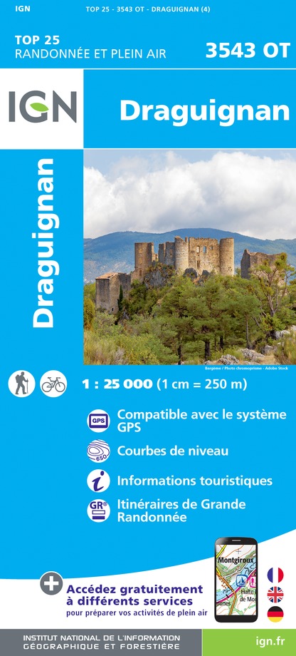
Situated in the heart of the Var, Draguignan is a quintessential town in the Provence-Alpes-Côte d'Azur region, offering a unique blend of cultural, natural, and historical riches. Heritage enthusiasts will delight in the charming streets adorned with prominent sites such as Saint-Michel's Church and the Clock Tower. For a breathtaking view, a visit to Mont Faron is a must.

The town also offe...
See more

Walking around Draguignan

See more suggestions
Explore the hiking trails around Draguignan.
See more suggestions
La Croix des Pins
22 km

La Croix des Pins

Aups, character village nestled at the foot of the Espiguières mountain in a privileged environment with rich heritage. From the tourist office, pass the St-Pancrace church and walk up Aups through the medieval streets (attention, the yellow markings begins at point (1). Pass at the foot of the Tour de l'Horloge, follow the Aires street and exit the ramparts through Aires Portal Turn left and follow the road to the chapel of Notre-Dame de la Délivrance and then, on the other side of the road, on the rural path of Devensaux. 1- At 150 m, leave the small road and turn right on chemin de la Trinité. The dirt road becomes tarred after college. Climb up by the path to the chapel Sainte-Trinité, pass below, and join a dirt road to the first caves of Aups. Continue on the road for another 300 m to reach, nestled in the wall, the Sainte-Magdeleine chapel. Continue the route under the green oaks, and follow a low wall to reach an intersection. 2 - Go back along the path to the valley on the left and access the forest track. Take the track on the right. Continue for 1 km, then join a cistern and the junction with the track of the Grand Colle. Follow it on the left. It is tarred for 400 m, then continue on the dirt road to the Col de Brès. 3 - Just before the Col de Brès, climb on the path to the left. The climb lasts 800 m to the top of the Espiguières mountain. The path continues on the plateau up to a tank (1 km). 4 - Take a small path on the left in the woods to quickly reach the Croix des Pins (round trip). Return to the track and continue the crossing. Go down the path through the forest and then join the forest path of Croix des Pins at 1.7 km. 5 - On the track turn to the right and 800 m later turn left on the small Devensaux road. Return by the latter to the village and lead in point 1. Continue on the road up to the Aups’s doors. Return to the starting point by the small streets of the village.

5 h
12 km
Medium
Show
The Notre-Dame de Liesse Chapel
24 km

The Notre-Dame de Liesse Chapel

At the top of the ridges of the Var, enjoy panoramas at 360° endless forests and mysterious Chapels. From the parking lot Col de la Bigue, cross the road and take the path on the right from the fire water tank. Roam the path on the ridge until the intersection at 800m. 1 - Take the left path going into the woods, follow the ridge for about 1.5km to the Notre-Dame de Liesse fork with a peak at 996m. Turn right on the path going up to the chapel (round trip itinerary; remarkable view). From the chapel, come back to the crossroads and continue the path in the woods. Go down the Collet de Liesse. 2 - Don't take the left path going down to Verignon and continue straight on the ridge towards Saint-Priest. Reach the Chapel in about 3km. Go down the road for about 1.5km passing in front of a ruined barn on the left. 3 - Take the track starting on the right. It joins a path below at 900m (DFCI water tank). 4 - Follow the path on the right until the intersection at 500m. Turn right, stay on the main road for another 1.5km before reaching the intersection of the tracks of la Grave and le Brès. 5 - Follow the track on the right (la Grave) and go down the valley of the Grande Colle. 6 - Take the track rising on the right. Go up the valley for 2km. At the top, we can recognize the Notre-Dame de Liesse chapel. The path reaches a peak before a slight descent. Continue on the descending path towards the Col de la Bigue. A 800m before the pass, the trail reaches the point (1). Take a left to return to the starting point.

6 h
16 km
Hard
Show
Sentier Blanc-Martel
25 km

Sentier Blanc-Martel

In the heart of the Gorges du Verdon, the Blanc-Martel trail is the best-known hike in the Canyon, and the only one that allows you to walk along the river at the bottom of the Gorges. It takes its name from Alfred-Edouard Martel and Isidore Blanc. The Blanc-Martel trail is a one-way trip between Chalet de la Maline in La Palud-sur-Verdon and Point Sublime in Rougon. During the season, shuttles depart from La Palud-sur-Verdon (dep. 8:30-9:30-10:30 depending on the season), dropping you off at Chalet de la Maline in the morning and picking you up at Point Sublime at the end of the afternoon (15:30-16:30-17:30 depending on the season) and taking you back to La Palud-sur-Verdon. Online reservations only: navette.parcduverdon.fr . A cab service is also available (06 68 18 13 13 and 06 20 32 87 47), also bookable in advance. A few precautions should be taken before embarking on this 16 km hike in the heart of the Gorges: 2 liters of water minimum per person, good walking shoes, protective gear depending on the weather, and a flashlight. Allow around 5h30 for the walk, without breaks. From the Chalet de la Maline, follow the GR®4 (white and red markings)d down to the bottom of the gorge (many twists and turns, so stay on the path!). Take the stairs to the pas d'Issane (tricky climb!). Reach the intersection. 1 - At the intersection, at the foot of the switchbacks, turn left towards Point Sublime (sign). Follow the Verdon as far as the Guègue steps (descend with care!). Continue on the path that rises above the Verdon, opposite Baume aux Bœufs, to reach a second intersection. 2 - At the intersection, turn left towards the Point Sublime and continue to the Brèche Imbert (difficult climb!). If you turn right at this intersection, you'll see the confluence of the Verdon and Artuby rivers (1 km round trip, marked in yellow). 3 - The Imbert gap marks the halfway point. Before starting the descent, you can access the belvedere by carefully climbing the rock on the right (tricky climb with handrail!). Descend the steep, narrow metal staircase to the Brèche Imbert (for those prone to vertigo, this is a tricky passage!), which can be quite impressive (take care when crossing!). Descend a few hairpin bends to the edge of the Verdon, level with the Baume aux Chiens (technical passages!). From this point, keep walking until you reach the first tunnel (110 m), then a second, much longer one (668 m). The exit from the last tunnel joins one of the narrowest sections of the gorge, the Samson couloir. Descend to river level, then cross the torrent du Bau by a small bridge and climb back up to the Samson belvedere (turnaround area for a dead-end road). 4 - Cross the turnaround to the left. Continue along the path above the road, skirting the foot of the cliff (150 m ascent!). You come out onto the main road. From here, turn left towards Point Sublime.

6 h
14 km
Hard
Chalet de la Maline 04120 La Palud-sur-Verdon
Show
The trail of Blanc Martel
25 km

The trail of Blanc Martel

At the heart of the Great Gorges du Verdon, the trail of Blanc Martel takes you to a spectacular scenery and breathtaking views. From the chalet de la Maline, follow the GR 4 (Red and white marking!) and then the road below. Go down to the bottom of the gorges (Many curves, stay on the trail!). Take the stairs of the Pas d'Issane (Tricky passage!). Regain the intersection. 1 - At the intersection, at the foot of the winding paths, go left towards the Point sublime (Sign). Walk along the Verdon until the stairs of Guègue (Go down carefully!). Continue on the trail that rises above the Verdon, in front of the cave "Baume aux Boeufs"and reach a second intersection. 2 - At the intersection, turn left towards the Point Sublime and continue until the brèche Imbert (difficult climb!). Turn right at this intersection to reach the confluence between the Verdon and the Artuby rivers (1km round trip marked in yellow). 3 - Reaching the brèche Imbert means you have reached midway through. Before starting the descent, access to the gazebo is possible by climbing cautiously the rock on the right (delicate passage with handrail!) Go down the steep and narrow metal staircase of the brèche Imbert, (For those prone to vertigo, this is a delicate passage!) which can be daunting (Be careful when crossing others!). Get off at the edge of the Verdon after a few winding paths, at the Baume aux Chiens (Tricky passages!). From this point, continue walking to reach the first tunnel (110m) and a second, much longer (610m). The exit of the last tunnel connects with one of the narrowest areas of the gorges, the Couloir Samson. Go back down near the river and cross the torrent of Bau by going over a small bridge. Then, go up towards the Samson belvedere (turning area of a dead end road). 4 - Cross the turning area through the left. Continue on the path above the road and walk along the bottom of the cliff (150m of ascending elevation!). Reach the main road. From there, take a left towards the Point Sublime.

7 h
13 km
Hard
Show

What to do in Draguignan

See more suggestions
Make your stay in Draguignan special by booking activities.
See more suggestions

What to visit in Draguignan

See more suggestions
Discover the nightlife of Draguignan.
See more suggestions

Where to eat in Draguignan

See more suggestions
Enjoy delicious dishes at Draguignan's restaurants.
See more suggestions

Where to sleep in Draguignan

See more suggestions
Explore hostels and hotels in Draguignan.
See more suggestions
Caution!
We have no information on the difficulty of this circuit. You may encounter some surprises along the way. Before you go, please feel free to inquire more and take all necessary precautions. Have a good trip! 🌳🥾