Tours
Activities
Places of interest
Where to eat
Where to sleep
Besancon, Doubs, Franche-Comté
Are you in charge of the destination?Nestled in a bend of the Doubs River, Besançon is a gem of the Franche-Comté region in France. With its rich historical and cultural heritage, this city will captivate and enchant its visitors. Explore the majestic Citadel of Besançon, a UNESCO World Heritage site, and dive into the fascinating history of the region with exceptional museums like the Museum of Fine Arts and Archaeology. Marvel at t...See more


What to do in Besancon
See more suggestionsMake your stay in Besancon special by booking activities.
See more suggestions


IGN cards
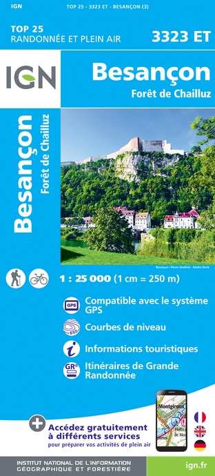
3323ET - BESANCON FORÊT DE CHAILLUZ
Editor : IGN
Collection : TOP 25 ET SÉRIE BLEUE
Scale : 1:25 000
13.90€

TOP100D39 - JURA PAYS DE DOLE ET VAL D'AMOUR CHAMPAGNOLE LES ROUSSES PNR DU HAUT-JURA
Editor : IGN
Collection : TOP 100
Scale : 1:100 000
8.40€

TOP100D70 - HAUTE-SAÔNE VESOUL LURE VALLÉE DE LA SAÔNE
Editor : IGN
Collection : TOP 100
Scale : 1:100 000
8.40€

201 ALSACE MASSIF DES VOSGES
Editor : IGN
Collection : TOP 200
Scale : 1:200 000
6.80€

D70-88-90 HAUTE-SAÔNE VOSGES TERRITOIRE DE BELFORT
Editor : IGN
Collection : CARTES DÉPARTEMENTALES IGN
Scale : 1:150 000
5.90€

D25-39 DOUBS JURA
Editor : IGN
Collection : CARTES DÉPARTEMENTALES IGN
Scale : 1:150 000
5.90€

NR09 BOURGOGNE FRANCHE-COMTÉ
Editor : IGN
Collection : CARTES RÉGIONALES IGN
Scale : 1:250 000
6.80€

EUROPE
Editor : IGN
Collection : DÉCOUVERTE DES PAYS DU MONDE IGN
Scale : 1:2 500 000
7.00€

ALLEMAGNE
Editor : IGN
Collection : DÉCOUVERTE DES PAYS DU MONDE IGN
Scale : 1:800 000
7.00€
What to visit in Besancon
See more suggestionsAttend events organized in Besancon.
See more suggestions


Where to eat in Besancon
See more suggestionsExplore the best dining spots in Besancon.
See more suggestions


Where to sleep in Besancon
See more suggestionsExplore hostels and hotels in Besancon.
See more suggestions


