Alert

Alerts

To see around
See more
Open
Close
Show
Show
Show
Show
Show
Show
Show
Show
Show
Show
Show

Oups... It would appear that Cirkwi does not have permission to use your location.

OSM Map
OSM Map
OpenStreetMap
Satellite images
Satellite images
Google
GoogleMap Map
GoogleMap Map
Google
Hybrid Map
Hybrid Map
Google
IGN - France
IGN - France
IGN
Cadastral Plan
Cadastral Plan
IGN
8
7
6
5
4
3
2
1
Leaflet | © OpenStreetMap contributors, CC-BY-SA
Presentation
Description
Steps
Points of interest
Ratings and reviews
See around

La Croix des Anglais

PLRV1020-04
PLRV1020-01
PLRV1020point-d-interet2-2
PLRV1020point-d-interet3-1
Annonce

Description

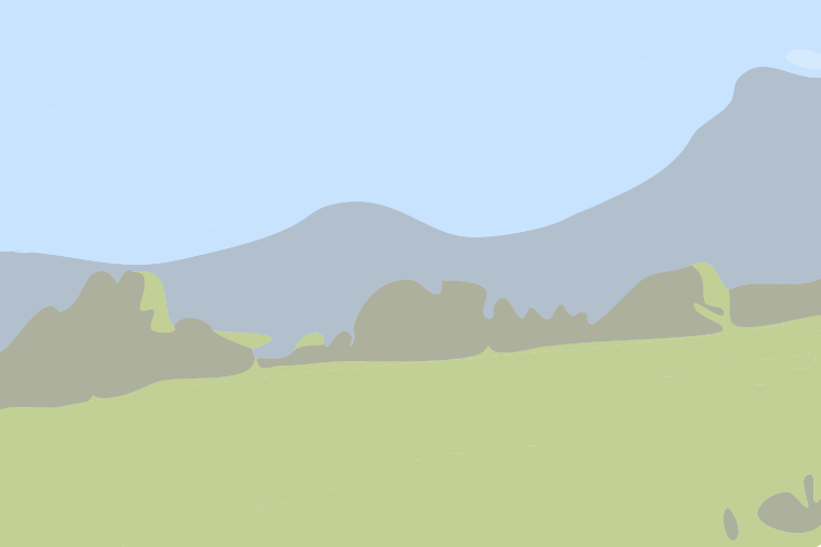
Itzalpean eta leku errazean ibilaldi bat egin nahi duzu? Horra! Zoriona kausitu duzu!
Ingelesen Gurutzeko ibilbideak askotariko paisaiak eskaintzen ditu, batzuetan ikuspegi ederrekin mendietara eta besteetan udan zinez gustagarriak diren oihanpeko ibilaldi zati anitzekin.
Ibilbidearen bukaeran ikusten den harrizko gurutze batetik hartzen du izena ibilbideak. 2,50 m-ko altuera du gurutzeak, eta “1713” inskripzioa darama, Espainiako Ondorengotza Gerran preso izandako eta eraildako ingeles soldaduen omenez. Gerla horretan, 1701 eta 1714 urteen artean, koalizio europar baten aurka borrokatu ziren Frantzia eta Espainia.

Technical Information

Walking
Difficulty
Easy
Dist.
10 km
Show more

Altimetric profile

Created with Highcharts 6.0.71 km2 km3 km4 km5 km6 km7 km8 km9 km10 km100 m200 m

Starting point

64480   USTARITZ
Lat : 43.3874Lng : -1.4929

Steps

Annonce
Annonce

Additional information

Balisage

Trait - Balisage directionnel sur supports locaux

Typologie de l'itinéraire

Itzulia

Equipements

Piknika lekua

Thèmes

Natura (fauna, flora)

Data author

64502 France

Ratings and reviews

Caution!
We have no information on the difficulty of this circuit. You may encounter some surprises along the way. Before you go, please feel free to inquire more and take all necessary precautions. Have a good trip! 🌳🥾