Alert
Alerts
By Les Monts and Les Vergnes

IGN cards


Description
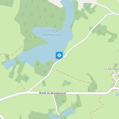
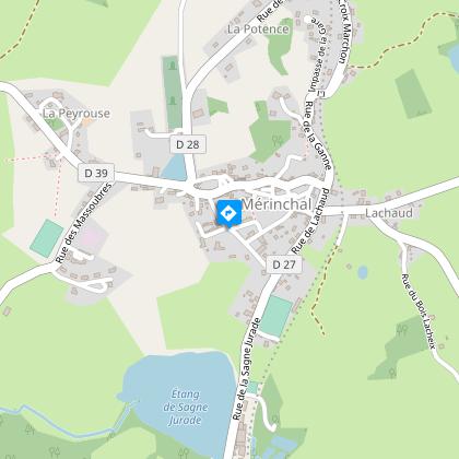
From the tranquillity of the ponds to the panoramic views from the circular paths;This walk is an invitation to explore the countryside around the source of the Cher.Starting point: From Château de la Mothe turn right onto the D27.Follow the D27 on the left until you reach the D39, on the right (towards Montel de Gelat). Cross the level crossing and continue this road for 600 m.Take a path on the left towards the Mondayraud pond. Cross the road and continue this path until you reach the tarmac.Take this road to the right, then take the path immediately to the left. After a few metres, turn left and continue until you reach the road.Turn left onto it to join the D28, which you follow on the right.Take the first path on the left (old Roman road) overlooking the village of Les Monts. Follow it for 2.5 km to the road.At the road, turn right and then take the first track on the left.When you reach the tarmac, it is possible to continue to the left for 100 m and then take the second road on the right, which gives you a view of the Château des Vergnes (beginning of the 20th century).At the road, turn right, then about 350 m further on, take the first road on the left.Take the first path on the right. Follow it as far as the tarmac.Take the road on the right, and then the second on the right.Take the path on the left just before the railway track.Follow it to the tarmac, and then follow the path under the railway track until you reach the road.Turn left, and after the cemetery, and turn left again on the path that goes up to the tarmac.Turn left and pass the railway line.Take the path between the two hangars up to the road.Take the road on the right. Go through the village by turning left.At the top of the hill, choose the path opposite, to reach the D28. Turn right, cross the bridge and continue on Mérinchal.After the pond, turn left towards Létrade, then the first on the right to go down the road to the Château de la Mothe.
Technical Information
Altimetric profile
Starting point
Steps
Additional information
Advised parking
Chateau de la Mothe, Mérinchal
Access
16 km from Auzances, follow the D27 then the D996.
Ambiance
From Merinchal, where the River Cher originates, this itinerary will take you to the foothills of the Monts d'Auvergne to discover the characteristic landscapes of the South East of the Creuse.
Arrival
Chateau de la Mothe, Mérinchal
Departure
Chateau de la Mothe, Mérinchal


