Alert
Alerts
Coudoulous trail

IGN cards




Description
This trail gives you access to panoramic viewpoints on its mountain ridges, as you follow in the footsteps of the men and women who left their imprint on the schist.
A few clarifications:• As you leave the car park, turn right and continue on the road for 150 metres, then go left towards Mas de la Tourette / La Borie.• After Marker 4, take the path that goes uphill on the right. Be careful, some sections are slippery.• At the road, continue left to the hamlet. Then take the path on the right. • At the junction of paths, continue right. • Turn right towards the castle (there-and-back) to reach Markers 6, 7, 8.• Return to the car park on the path.
Technical Information
Altimetric profile
Starting point
Points of interest
Additional information
Departure
Car park
Arrival
Car park
Ambiance
The Coudoulous trail offers magnificent panoramic views onto the Longue and Cézarenque valleys from the mountain ridges, which seem uninhabited by mankind. And yet, in places the schist is worn, carved, cut or worked. Here, you follow a rutted track; there, you decipher mysterious carvings; elsewhere, you can guess at the ruins of a mediaeval castle. Around the corner from the trail, the landscape yields up its secret history in the steps of the humans who shaped it.
Access
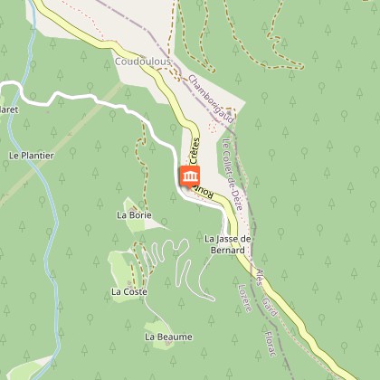
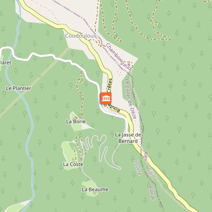
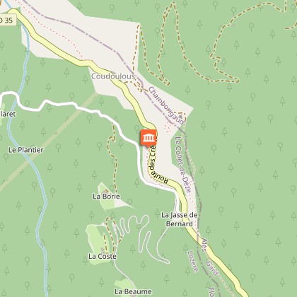
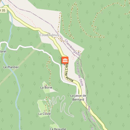
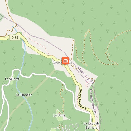
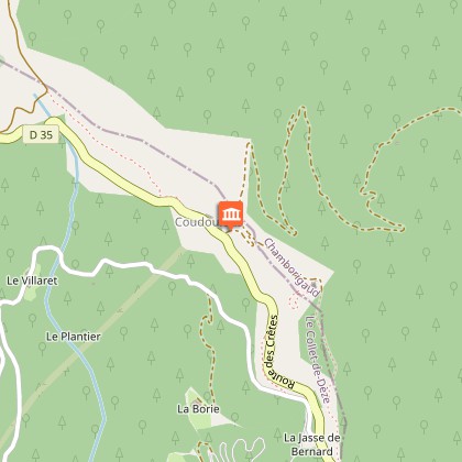
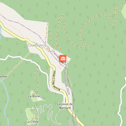
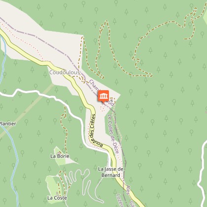
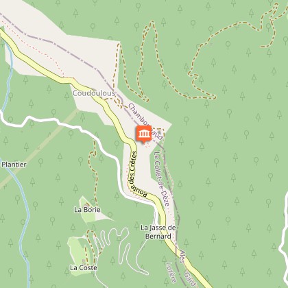
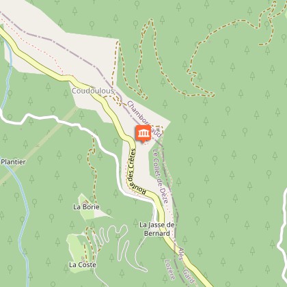
Route des Crêtes ridge road (the D 35 in Lozère, then the D 52 in the Gard) between the Col de la Croix de Berthel pass and La Tavernole. 1 km after the hamlet of Coudoulous towards Alès (D 906), go over the first crossroads (lane on right) and after 250 m, take the track on the left.
Advised parking
By the side of the road (D 35)
Advice
In rainy weather, the schist can be slippery. It is dangerous to leave the waymarked path. Climbing onto walls weakens them and furthers their destruction.The rutted track and the inscriptions are protected historical monuments; they are fragile. Please leave them intact!
Data author


