Alert
Alerts
CIRCUIT VTT AC8 ROUGE - DU GIRMONT AU VAL-D'AJOL

IGN cards






Description
Mountain bike circuit AC8 Red - 25 km - Difference in altitude 580 m
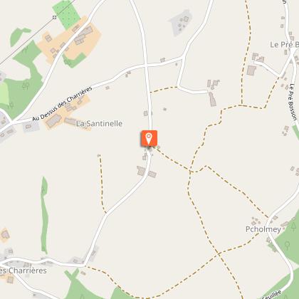
Start coordinates: N 47 55'36.505" E 006 28'53.318"
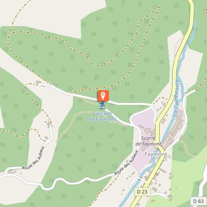
The Tour du Val-d'Ajol on both sides of the Combeauté valley with its two difficult climbs, the first on the south side towards the Hôtel Enfoncé and its plateau (descent via the Faymont waterfall), the second on the north side via the Géhard waterfall to the magnificent little village of Girmont-Val-d'Ajol, all with a panoramic view of the whole valley.
Technical Information
Altimetric profile
Starting point
Points of interest
Additional information
Producteur de la donnée
Ces informations sont issues de la plateforme SITLOR - Système d’Information Touristique - Lorraine
Elles sont synchronisées dans le cadre du partenariat entre Cirkwi, l’Agence régionale du Tourisme Grand Est et les membres du comité technique de Sitlor.
Contact
Tel : 03 29 22 11 63
Email : bureaux@ccpvm.fr
Data author


