Alert
Alerts
Hike of "Prignac et Marcamps"

IGN cards


Description
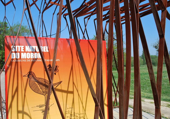
At the car park, leave to the right direction " BL of Prignac and Marcamps and natural site". Stay on this path which goes along a small stream on the right. Leave the one which goes to the right up and to cross near the picnic area and vestiges of a hydraulic arrangement: source, wash house and watercress bed.
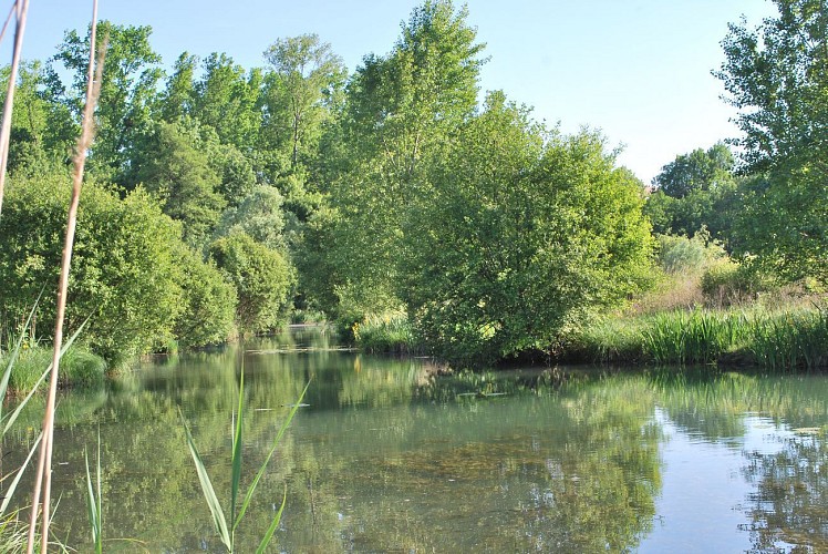
At the end of the path turn left and follow one of the canals of the wet zone to join the "Moron" river.
Turn left and follow the river on this route lined with stone benches of Bourgeais stemming from quarries previously seen.
Attention no sign.
At the sign, two possibilities:
- Possibility of getting to the cave of Pair-non-Pair: continue quite straight ahead. At the end of the path, rise by the left to gain a tarred road. Turn right and move forward up to the cave.
- Turn left and move forward up to the playground.
Turn towards the right and to take the path which would almost brown you on your steps. After several meters, at the top of the hill, leave to the left between wood and houses, direction "Prignac and Marcamps Bourg".
Attention no sign.
At the intersection, do not miss the charming church St-Michel de Marcamps dating back to the XIIIth century, in 200 meters on the left; otherwise turn right. Follow the way tarred until the intersection with the D133. Cross quite straight ahead by the "Chemin de Cabiraud".
Do not miss to discover the picturesque wash house of Nolly: the sign indicates it on the left. At the end of the "Chemin de Cabiraud", turn left and follow the road up to the "Chemin de Moulinot". Turn left and follow quite straight ahead. Make a commitment on the path marked out to the left and to follow it among copses up to the small tarred road. There, turn left and walk between the impressive quarries of open-air stone until the intersection with the D133.
Attention no sign.
Leave to the left on the D133 and almost immediately turn right to come down the "Chemin de Jolias". At the second crow's-foot, set to the left to enter the hamlet. At the corner of the last house, turn left and go down the path which returns to the natural site of "Moron". Pursue the descent until the signs.
Turn left to join the car park.
Technical Information
Altimetric profile
Starting point
Points of interest
Data author


