Alert
Alerts
Grandvaux, Malvaux au fil de l'eau


Description
Sometimes calm, sometimes stormy, the water guides you to discover such particular reliefs.
From the tourist office, go up Rue de Genève on your left then turn twice on your right to take Rue du Coin d'Amont, behind the church and follow it to the end. After leaving the village, take the footbridge over the N5 and continue on the same paved forest road to the hamlet Vers les Moulins.Cross the bridge over the Lemme then turn left.At the ruins of the Moulin d'Hylarion, continue on the road and reach the Châtelet (former holiday center which is now a school).At the crossroads after the school, turn left then after 300 m, take a small path to the right, direction Chez Mayet.In the hamlet "les Gros Louis" (indicated "le Saut" on the IGN map), turn right twice. At the cross road, go left and find the N5.In front of you is a former hotel-restaurant on the edge of which a platform has been set up with a beautiful view of the Lemma.Follow the N5 to the left, pass the Lemme, quickly reach the old restaurant "Le Pont Romain" and a forest road to the right.Turn right on the forest road, temporarily overhang the railway line then cross the forest until you approach the Prélet forest hut.Turn at an acute angle to the right onto the Route Forestière du Lignon.Cross the Dombief, take the first road on the left and reach the hamlet of La Boissière.Cross the village then, before the hamlet of Rollets, continue to the right on the Route Forestière du Bois de Ban, to the parking lot of the Belvédère des Quatre Lacs.A path on the left gives access to the viewpoint of the Four Lakes and the Pic de l'Aigle. Continue on the forest road. At the next crossroads, turn left and reach the N5 at the hamlet of Cernois.Go left then turn right in front of the isolated farm, at the foot of the Falaise du Rachet, climbing site of the Morillon.Continue on the road on the left, along the Lemme, to the Pont de la Chaux. Pass the station and the restaurant, carefully cross the D16 and take the municipal road opposite. Join the hamlet La Tépette.Take the lanes parallel to the D16, Rue de la Tepette then Route du Chavon, to arrive at the entrance to the village of Chaux-des-Crotenay.Go up the Grande Rue to the left, and follow the 2nd right, Route d'Entre-deux-Monts, to below the village.200 m before the church, take the wide white path on the left which allows you to cross the valley and reach the intersection with the D16.Cross the road with caution, follow the D127E1 for a few meters and take the path to the right. Descend through the forest then a pasture before finding the road.Go right, Rue de la Langouette then follow the direction of the Gorges de la Langouette on the right. Cross a street and take, just before the Montliboz agglomeration exit sign, the Chemin des Cascades on the right. Join the Planches-en-MontagneTurn left in front of the cemetery, cross the bridge over the Saine and walk along the church.Just after this, at the directional post "Les Planches-en-Montagne", follow the Ruelle du Lavoir on the right, White/Red markings, direction Foncine-le-Bas. Continue along the tram line, an old railway line, with the Saine on your right.Observe on the left the Cascade du Bief de la Ruine and cross a tunnel in an arc of a circle, bring a light. Continue along the Saine.At the arrival of the tram line, cross the bridge then join Foncine-le-Bas.Take the Route de Champagnole to the right for 150 m then cross it to turn left onto the D62, direction Fort-du-Plasne. Join the first paved road on the right.Follow this one, Chemin du Lac de la Dame, towards Les Fumey. Bypass the Lac à la Dame and then go up again on the D62.Continue on this one and reach the village of Fort-du-Plasme.Take the road on the left just before the first houses in the village. Ride between Fort-du-Plasne lake and its wetland.At Les Voigneurs hamlet, turn right and follow the road to Le Maréchet hamlet.Turn right on the D437 then take the first paved road on the left. Cross the small bridge and at the directional post for hiking "le Maréchet", follow the path to the right, yellow markings in the direction of "la Gare". Go straight at each fork and reach the D437.Go left, pass the Lac-des-Rouges-Truites agglomeration entrance sign and walk along the old station building on your left.Just after this, leave the D437 and take the secondary road on the left. Keep left until Domaine du Bugnon. Possibility to take a break, have a drink or recharge a battery.Continue on the same forest road until the crossroads with four roads, hiking post "Les Quatre Chemins".Continue to the right, follow the yellow markings and reach a housing estate via a forest road. Pass it a few meters and find the start of the old tram line on the left, currently the white path.Follow this one and continue straight at each fork.At the exit of the tram lane, a few meters before the D437, opposite the "La Halte des Martins" post, turn left and stay on the grassy path parallel to the road. Pass, on the right, the old railway stop and find a small paved road to take, opposite, for a few tens of meters.At the intersection, go straight then quickly turn right, Chemin du Carlaton (limited to 3.5t). Join the hamlet of La Savine and the N5.Cross the N5 via an underpass on the right. Opposite the fountain, take the middle white path which starts between the Route des Gyps and the Chemin sous la Savine. The tram line leads to the Pésières district in Saint-Laurent en GrandvauxAt the intersection with Rue des Pésières, turn right and drive to Rue de Genève.Turn left and go up Rue de Genève by the cycle lane on the sidewalk, to the Tourist Office.
Technical Information
Altimetric profile
Starting point
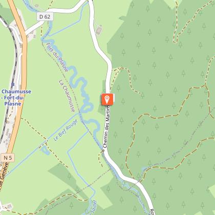
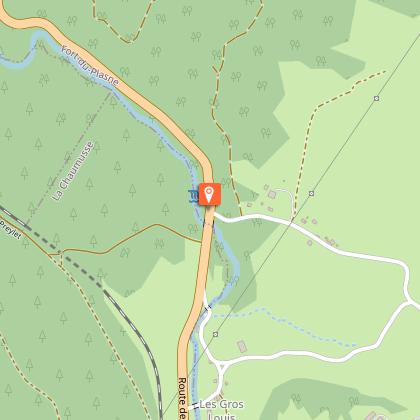
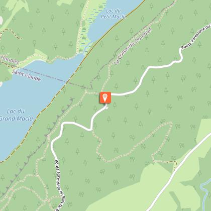
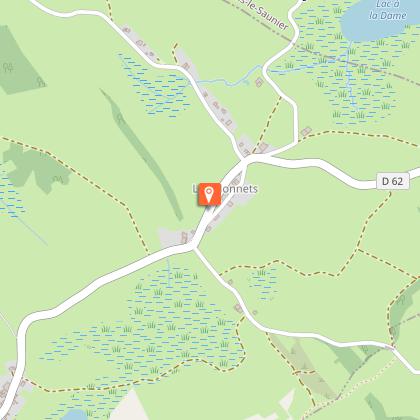
Points of interest


Additional information
Access
Parking place behind the tourist information center.
Ambiance
A journey to the heart of water... From lakes to caves, waterfalls and majestic landscapes... Discover the hidden treasures of this course dedicated to water and geology. Cross the ages, take a leap from the traces of the glaciers of the Quaternary era, to the life animated today by the fauna of preserved natural sites.This Jurassic Velo Tours route has digital guidance only. You will not find any markings on the ground. Let yourself be guided with the Jurassic Vélo Tours app, which can be downloaded for free from Google Play Store and App Store. As you go along, signposts will indicate points of interest to discover.Be careful ! Given the crossing of a relatively long old railway tunnel and the duration of the journey, plan a lamp or lighting as well as a backup battery....
Arrival
Saint-Laurent en Grandvaux
Departure
Saint-Laurent en Grandvaux
