Tours
Activities
Places of interest
Where to eat
Where to sleep
Paulhac, Haute-Loire, Auvergne: a nature escape
Are you in charge of the destination?Tucked away in the heart of Haute-Loire, Paulhac in Auvergne is the perfect destination for nature and culture enthusiasts. As you set off to explore this picturesque area, you'll be captivated by its rustic charm and authenticity. Start your adventure by exploring the region's stunning landscapes, including its vast green expanses and rolling hills surrounding Paulhac. The hiking trails offer vis...See more


What to do in Paulhac
See more suggestionsThe best experiences in Paulhac are just a click away, book now.
See more suggestions

")


IGN cards
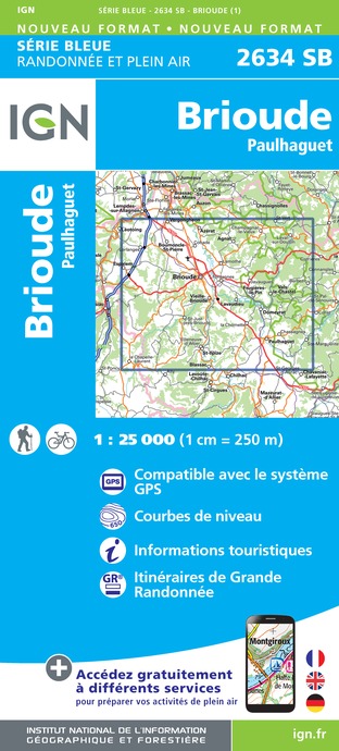
2634SB - BRIOUDE PAULHAGUET
Editor : IGN
Collection : TOP 25 ET SÉRIE BLEUE
Scale : 1:25 000
13.90€

TOP100D43 - HAUTE-LOIRE LE PUY-EN-VELAY BRIOUDE GORGES DE L'ALLIER
Editor : IGN
Collection : TOP 100
Scale : 1:100 000
8.40€

155 AURILLAC SAINT-FLOUR PNR DES VOLCANS D'AUVERGNE
Editor : IGN
Collection : TOP 100
Scale : 1:100 000
8.40€

148 CLERMONT FERRAND SALERS PNR DES VOLCANS D'AUVERGNE
Editor : IGN
Collection : TOP 100
Scale : 1:100 000
8.40€

D15-19 CANTAL CORREZE
Editor : IGN
Collection : CARTES DÉPARTEMENTALES IGN
Scale : 1:150 000
5.90€

D42-43 LOIRE HAUTE-LOIRE
Editor : IGN
Collection : CARTES DÉPARTEMENTALES IGN
Scale : 1:150 000
5.90€

D03-63 ALLIER PUY-DE-DÔME
Editor : IGN
Collection : CARTES DÉPARTEMENTALES IGN
Scale : 1:150 000
5.90€

EUROPE
Editor : IGN
Collection : DÉCOUVERTE DES PAYS DU MONDE IGN
Scale : 1:2 500 000
7.00€
What to visit in Paulhac
See more suggestionsAdmire the unique architecture of Paulhac.
See more suggestions


")

Where to eat in Paulhac
See more suggestionsThe restaurants of Paulhac await you.
See more suggestions


Where to sleep in Paulhac
See more suggestionsExplore hostels and hotels in Paulhac.
See more suggestions


