Tours
Activities
Places of interest
Where to eat
Where to sleep

Paulhac, Haute-Loire, Auvergne: a nature escape

Are you in charge of the destination?
Tucked away in the heart of Haute-Loire, Paulhac in Auvergne is the perfect destination for nature and culture enthusiasts. As you set off to explore this picturesque area, you'll be captivated by its rustic charm and authenticity. Start your adventure by exploring the region's stunning landscapes, including its vast green expanses and rolling hills surrounding Paulhac. The hiking trails offer vis...See more

Walking around Paulhac

See more suggestions
Hiking routes in Paulhac.
See more suggestions
The hills of Lempdes
11 km

The hills of Lempdes

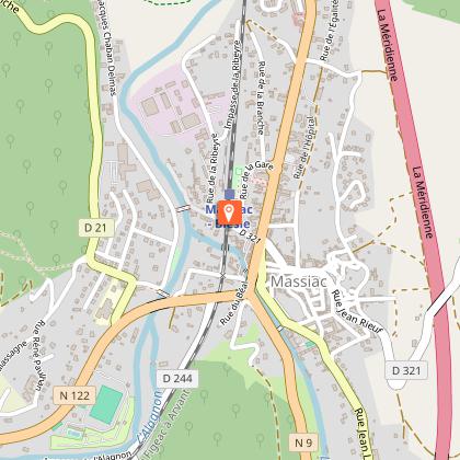
Lempdes-sur-Allagnon is interesting for its listed hall dating from 1835, crowned with a framework valued as an architectural masterpiece. We cross puys, volcanic plateaus… Many views over the Livradois, the peaks of Nonette and Usson. Starting point - From the starting sign, cross the bridge over the Béal, cross the public garden on the left, climb the stairs and take the footbridge over the Allagnon. Pass between the tennis court and the village hall; at the road, turn left and follow the campsite. At the three successive forks, turn right to join the D654. 1 - Take the track opposite; at the fork, stay to the left and to the next one. Before the road, turn right towards the water tower. At the intersection, turn right on the upward track that goes around puy Ferrat. At the top of the hill, continue to the right (view of the Montcelet tower). Go straight ahead in Scoularoux then, in the bread oven, go to the right. Ignore the path on the left and continue (view of the Nonette hill, the Livradois mountains) until you reach the reservoir. 2 - Take the right track and continue straight ahead until you reach Moriat. At the stone cross, go along the castle wall to the left. After a fountain, stay to the right (entrance of the castle); at the next crossroads (another fountain), take the rue de la Vizade opposite. At the end of the village (cross), continue straight ahead until you reach a curve on the left. Cross the stream, continue opposite until you reach the D654. 3 - Continue opposite by the rue Filiol which goes to the campsite, turn left to find the path taken on the way there; after the footbridge, turn right. Follow the path that runs along the wall, cross the bridge near the washhouse. Turn immediately to the left on the path along the Béal to reach the starting point (at 100 m in the town centre, church and listed hall).

3 h
9.4 km
Easy
Lempdes-sur-Allagnon (Haute-Loire) - Place du Bosquet 63340 Moriat
Show
From colliers to boatmen
14 km

From colliers to boatmen

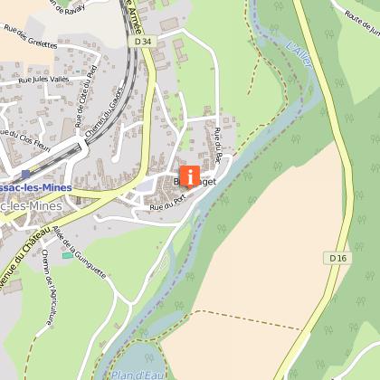
This itinerary located in the Val d'Allier highlights the traces of the daily life of the miners who extracted coal from the mineshafts to store it on large flat-bottomed boats sailing on the Allier and then on the Loire. Starting point - From the car park, cross the D710, go around the Communauté de Communes building on the right, go under the porch, cross the road of La Combelle and take the rue de Solignat opposite until you reach the avenue des Gueules-Noires. Take the dirt road on the left for 50 m, continue on the right and join the asphalt road, follow it on the right for 60 m and then turn left to go up on the plateau (view on the Nonette hill, the headframes and the Sancy) until a fork (leave the circuit Des Pas des Mineurs). 1 - At the cabin, go down on the left on La Combelle. At the houses, turn right until you reach the entrance of the old mine (Le puits des Graves, hot room, memorial), go down and turn left. After 80 m on the left, go up avenue du Puy-de-Dôme, turn left avenue d'Usson towards the orientation table, cross the plateau and join the road. Take the stairs on the right to the street below, turn left then 200 m (Galerie d'apprentissage des Mines. École Papillon) turn right onto rue Pelle-Fesse, leave the street on the left. At the stop sign, turn right, then turn left immediately towards the chapel, take the alley on the left, then right on avenue de la Poste. At the stop sign, cross over and leave rue de Petit-Puits on the right, take the 1st street on the right and in the housing estate turn right into rue des Grises then left into rue Descente des Grises. At the stop sign, turn right onto Avenue de Tansac and then left onto Rue du Bac towards Brassac. Continue to the left, pass under the railway and take rue de La Batellerie towards l'Allier (old footbridge). 2 - Go up on the left, turn off towards the houses, continue on the right ignoring the rue du 19 Mars 1962, turn left on rue de la Roche and follow the rue des Écoles. At the stop sign, turn right onto rue Germinal until you reach the crossroads (bus shelter) towards Bayard. Before the esplanade, go down the stairs on the right to the street below. Turn left and after the bend follow rue Marcel-Renesio until you reach the old pumping station, on the banks of the Allagnon river. 3 - Take the track to the left of the road, at the sports field, turn right, join the road and follow the Allagnon. Before the footbridge follow the path on the left along the river, continue on the wider path and join the D710, cross it. Turn right for 80 m then left and right on the road to the houses. Follow the rue des Chambettes, then the avenue d'Armois, take the first right, then the 2nd street on the left route de la Combelle. Go under the porch and get back to the starting point.

3 h
9.4 km
Very easy
Parking du musée de la Mine - Route de la Combelle 63570 Brassac-les-Mines
Show
Saint-Jean-Saint-Gervais
15 km

Saint-Jean-Saint-Gervais

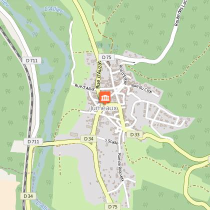
A hike in the land of basalt columns on a wooded and varied course accessible to all. A bewitching and impressive stroll towards the cliffs of the Oulette valley (shepherd's crook) or in front of the waves of the Salient waterfall (nearby). Starting point - In front of the church go to the right then to the left by the rue d'Esteil, 80 m further on follow the rue de Cros on the right, then go up by the chemin des Montes. In front of the allotment turn left (view of the village of Jumeaux and the hillock of Nonette). Allow the roads to the right and at the end of the allotment go up to the left. Ignore the first path on the right and go up to the kennel. Continue the ascent without taking into account the paths on either side until the crossroads under the high voltage line. 1 - Continue straight ahead and take the first track on the left. Leave the path on the right and go down to the T-junction, continue to the left on a wide path. At the crossroads go straight ahead, ignoring the paths to the left and right until you reach the intersection (stele). Go down to the right until you reach the hamlet of Brenat. Go down to the right until you reach the road. 2 - Continue opposite on the unpaved road (on the right refuge for birds of prey) continue in the undergrowth until you reach the road. Go to the right and immediately to the left below the road. At the D132, continue to the right until the crossroads. 3 - Turn left, cross the 2 bridges "Moulin de Gourdine" and turn right. Go up to the hairpin bend and down the path to the right until you reach the road. Continue on the left until you reach the pond and after that go up on the left by the road. At the crossroads, continue to the right until Saint-Jean-Saint-Gervais (church and town hall). 4 - After going around the church go down the path (large cross). Continue the descent to the "Moulin de Saint-Jean" (respect private property). Go right, cross the stream on the footbridge. Turn right for 200 m and then go up the road to the left and after 50 m, turn left again (Roman road). Further up the hill, ignore the path on the left and continue until you reach the entrance of Serlandes. 5 - Turn left up to the road. Go left, then leave the road at the second road on the left (viewpoint on Jumeaux, the Puys chain, the puy de Dôme). At the fork turn right (beware 2 paths with green markings cross) go down to the village of Jumeaux. Turn right and continue straight ahead. Leave rue du Ruisseau on the left, continue rue des Aubettes, rue de la Liberté and then rue de l'Eglise to reach the starting point.

5 h
16 km
Medium
Place de ’Église 63570 Jumeaux
Show

What to do in Paulhac

See more suggestions
Organize your days in Paulhac with bookable activities for the whole family.
See more suggestions
Auvergne Wildlife Park
21 km

Auvergne Wildlife Park

The Parc Animalier d'Auvergne is a unique reserve for rare and endangered species, with a European reputation. Over a 45-hectare area, you can learn about biodiversity and discover almost 350 rare and endangered animals of 60 different species. Come and meet snow panthers, red pandas, wolverines, tigers, Amur panthers, takins, Tibetan black bears, Rothschild's giraffes, Hartmann's zebras, primates, two-toed sloths, dholes, pygmy hippos, cheetahs and, more generally, 350 rare and endangered animals! The Park is set in an exceptional natural site, where you can admire many incredible views over the Cézallier and discover the various actions put in place for animal welfare and species conservation, while visiting a site that is proving its difference on a European scale. Indeed, the Parc Animalier d'Auvergne stands out in many respects: Europe's largest enclosure for Amur panthers and, new for 2024, the first park to house Thorold deer, the integration of an animal nutritionist and an educational manager into the team, the creation of an association dedicated to ethology and another to learning about biodiversity through new technologies, the offer of novel mixed-use enclosures and a wide variety of immersive activities to familiarize visitors with the animals (family safaris, special encounters, vacation courses, etc.)...). A must-see! Enjoy spectacular enclosures where you can walk right up close to the animals: chamois/bouquetins, lemurs or sika deer, and numerous walkways allowing you to get up close to the animals (red pandas, bears, wolves, giraffes). The Parc Animalier d'Auvergne is deeply involved in the conservation of endangered species around the world, including in Auvergne, notably through the Play for Nature endowment fund, and participates in numerous international breeding programs for endangered species. Located in Ardes-sur-Couze in the Puy-de-Dôme region, the park is just 45 minutes from Clermont-Ferrand and Besse/St Nectaire/Murol, and 15 minutes from exits 15 and 17 of the A75, near Issoire. For the 4th year running, it has been awarded the TripAdvisor certificate of excellence. It has also been awarded the Qualité Tourisme label, and is starred in both the Michelin Auvergne guide and Le Petit Futé. A company with a mission, it received two trophies for its concrete commitment to the environment in 2023, and joined the "Entreprise engagée pour la nature" program.

route d'Anzat-le-Luguet 63420 Ardes
Book from 0 €Book
Show

What to visit in Paulhac

See more suggestions
Admire the unique architecture of Paulhac.
See more suggestions

Where to eat in Paulhac

See more suggestions
The restaurants of Paulhac await you.
See more suggestions

Where to sleep in Paulhac

See more suggestions
Explore accommodation options in Paulhac.
See more suggestions
Caution!
We have no information on the difficulty of this circuit. You may encounter some surprises along the way. Before you go, please feel free to inquire more and take all necessary precautions. Have a good trip! 🌳🥾