Tours
Activities
Places of interest
Where to eat
Where to sleep

Explore Cisternes-la-foret, gem of Puy-de-Dôme

Are you in charge of the destination?
Nestled in the stunning landscape of Auvergne, Cisternes-la-foret, located in the Puy-de-Dôme department, offers a variety of engaging activities and attractions. Just a few kilometers from this charming village, visitors can explore the majestic Chaîne des Puys, a UNESCO World Heritage site. Hiking enthusiasts will love the numerous marked trails winding through lush forests and breathtaking pano...See more

Walking around Cisternes-la-foret

See more suggestions
Hiking trails in the Cisternes-la-foret area.
See more suggestions
By Les Monts and Les Vergnes
22 km

By Les Monts and Les Vergnes

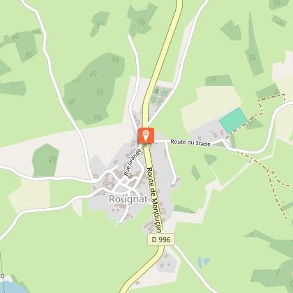
From the tranquillity of the ponds to the panoramic views from the circular paths;This walk is an invitation to explore the countryside around the source of the Cher.Starting point: From Château de la Mothe turn right onto the D27.Follow the D27 on the left until you reach the D39, on the right (towards Montel de Gelat). Cross the level crossing and continue this road for 600 m.Take a path on the left towards the Mondayraud pond. Cross the road and continue this path until you reach the tarmac.Take this road to the right, then take the path immediately to the left. After a few metres, turn left and continue until you reach the road.Turn left onto it to join the D28, which you follow on the right.Take the first path on the left (old Roman road) overlooking the village of Les Monts. Follow it for 2.5 km to the road.At the road, turn right and then take the first track on the left.When you reach the tarmac, it is possible to continue to the left for 100 m and then take the second road on the right, which gives you a view of the Château des Vergnes (beginning of the 20th century).At the road, turn right, then about 350 m further on, take the first road on the left.Take the first path on the right. Follow it as far as the tarmac.Take the road on the right, and then the second on the right.Take the path on the left just before the railway track.Follow it to the tarmac, and then follow the path under the railway track until you reach the road.Turn left, and after the cemetery, and turn left again on the path that goes up to the tarmac.Turn left and pass the railway line.Take the path between the two hangars up to the road.Take the road on the right. Go through the village by turning left.At the top of the hill, choose the path opposite, to reach the D28. Turn right, cross the bridge and continue on Mérinchal.After the pond, turn left towards Létrade, then the first on the right to go down the road to the Château de la Mothe.

4 h
16 km
Very easy
Show
Hautefeuille
22 km

Hautefeuille

A country circuit where magnificent paths with dry stone walls take you to the grounds of the former Hautefeuille château.Departure: park in the church square. Go back towards the centre of the village. Follow the D18. As you leave the village, turn right towards the cemeteryAt the cemetery, take the path on the left that joins a track. Follow it to the right; keep straight ahead as far as the road.Take the road on the right for 200 m. Follow the track on the left, which becomes a path. At the next crossroads, turn left. The path becomes a track; on a bend, go left until you reach the road.Follow it to the right for 300 m, then take the path to the left. At the next crossroads, turn left and continue for 50 m, then leave the track for a grassy path on the left that leads to Les Manoux. Continue straight on in the village.Take the road to the left and, 50 m after the bridge, a trail to the right. At the first crossroads, follow the track to the right; cross the stream and then the meadow. In the woods, turn left to find a path. It joins a track that you can take on the left to reach Gourseix.While you are there, take a 50 m return trip to the right: an interesting stone with a coat of arms can be seen up on the right-hand side of the wall of the barn adjoining the first house. As you leave the village, take the path on the left which joins the road.Follow it to the right. At the next crossroads, turn left. 200 m. after the La Barrre, after a transformer, take a trail to the right. Follow it, keeping straight ahead; ignore a path on the left; go to the crossroads just before the road on the left. The path meets the road.Turn left onto it; after the sorting area, take the path on the left to reach the village. Turn right to find the church.

3 h
11 km
Very easy
Show

What to do in Cisternes-la-foret

See more suggestions
Find the best activities in Cisternes-la-foret and book easily online.
See more suggestions

What to visit in Cisternes-la-foret

See more suggestions
Relax in the parks of Cisternes-la-foret.
See more suggestions

Where to eat in Cisternes-la-foret

See more suggestions
The dining spots in Cisternes-la-foret have surprises in store.
See more suggestions

Where to sleep in Cisternes-la-foret

See more suggestions
Explore lodging possibilities in Cisternes-la-foret.
See more suggestions
Caution!
We have no information on the difficulty of this circuit. You may encounter some surprises along the way. Before you go, please feel free to inquire more and take all necessary precautions. Have a good trip! 🌳🥾