Tours
Activities
Places of interest
Where to eat
Where to sleep
Discover Sylvanes, Aveyron, Midi-Pyrénées
Are you in charge of the destination?Welcome to Sylvanes, nestled in the heart of Aveyron within the Midi-Pyrénées region. This charming area is brimming with natural and cultural treasures. Begin your exploration with the Sylvanès Abbey, a Cistercian monastic site founded in the 12th century, which hosts artistic events and concerts throughout the year. Nature enthusiasts will enjoy the network of hiking trails around the town, such...See more
Walking around Sylvanes
See more suggestionsExplore the walking circuits of Sylvanes.
See more suggestions, take exit 48 towards Cornus and when reachin")
, take exit 48 towards Cornus and when reachin")


What to do in Sylvanes
See more suggestionsFind the best activities in Sylvanes and book easily online.
See more suggestions


IGN cards

2542OT - CAMARES AVENE
Editor : IGN
Collection : TOP 25 ET SÉRIE BLEUE
Scale : 1:25 000
13.90€
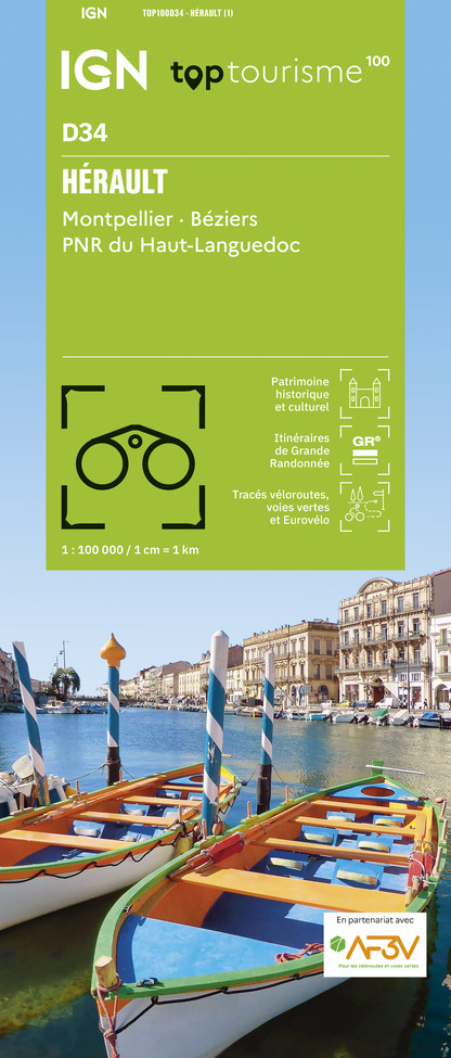
TOP100D34 - HÉRAULT MONTPELLIER BÉZIERS PNR DU HAUT-LANGUEDOC
Editor : IGN
Collection : TOP 100
Scale : 1:100 000
8.40€

162 RODEZ MILLAU PNR DES GRANDS CAUSSES
Editor : IGN
Collection : TOP 100
Scale : 1:100 000
8.40€

TOP100D81 - TARN ALBI CASTRES PNR DU HAUT-LANGUEDOC
Editor : IGN
Collection : TOP 100
Scale : 1:100 000
8.40€

D12-48 AVEYRON LOZÈRE
Editor : IGN
Collection : CARTES DÉPARTEMENTALES IGN
Scale : 1:150 000
5.90€

D30-34 GARD HÉRAULT
Editor : IGN
Collection : CARTES DÉPARTEMENTALES IGN
Scale : 1:150 000
5.90€

D11-81 AUDE TARN
Editor : IGN
Collection : CARTES DÉPARTEMENTALES IGN
Scale : 1:150 000
5.90€

EUROPE
Editor : IGN
Collection : DÉCOUVERTE DES PAYS DU MONDE IGN
Scale : 1:2 500 000
7.00€


Where to eat in Sylvanes
See more suggestionsFood enthusiasts will love Sylvanes's restaurants.
See more suggestions


Where to sleep in Sylvanes
See more suggestionsDiscover available accommodations around Sylvanes.
See more suggestions


